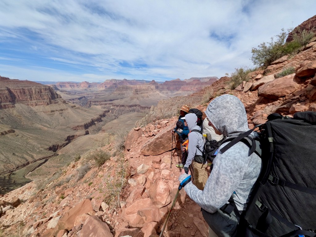
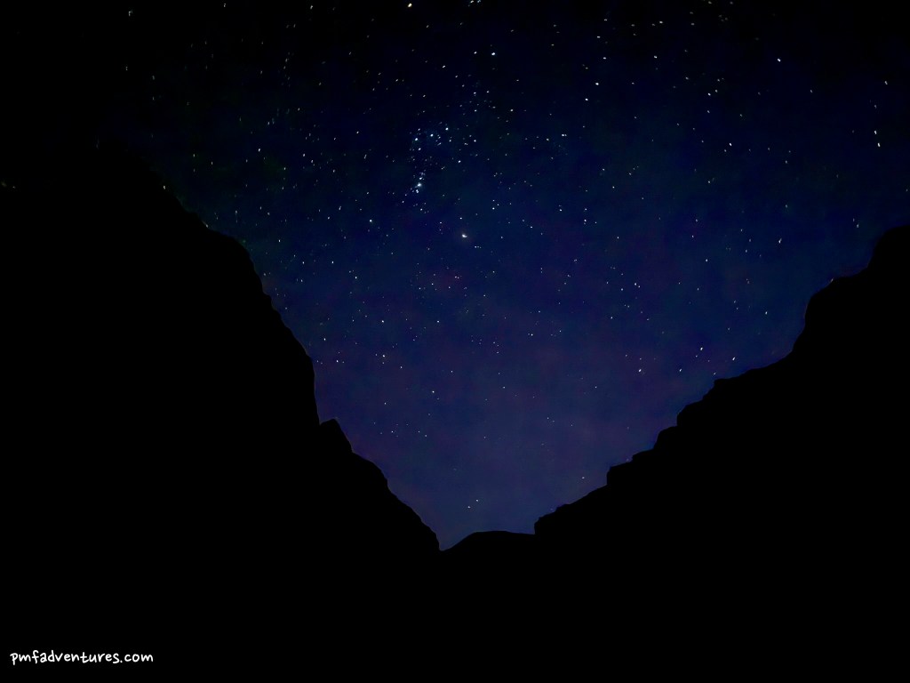
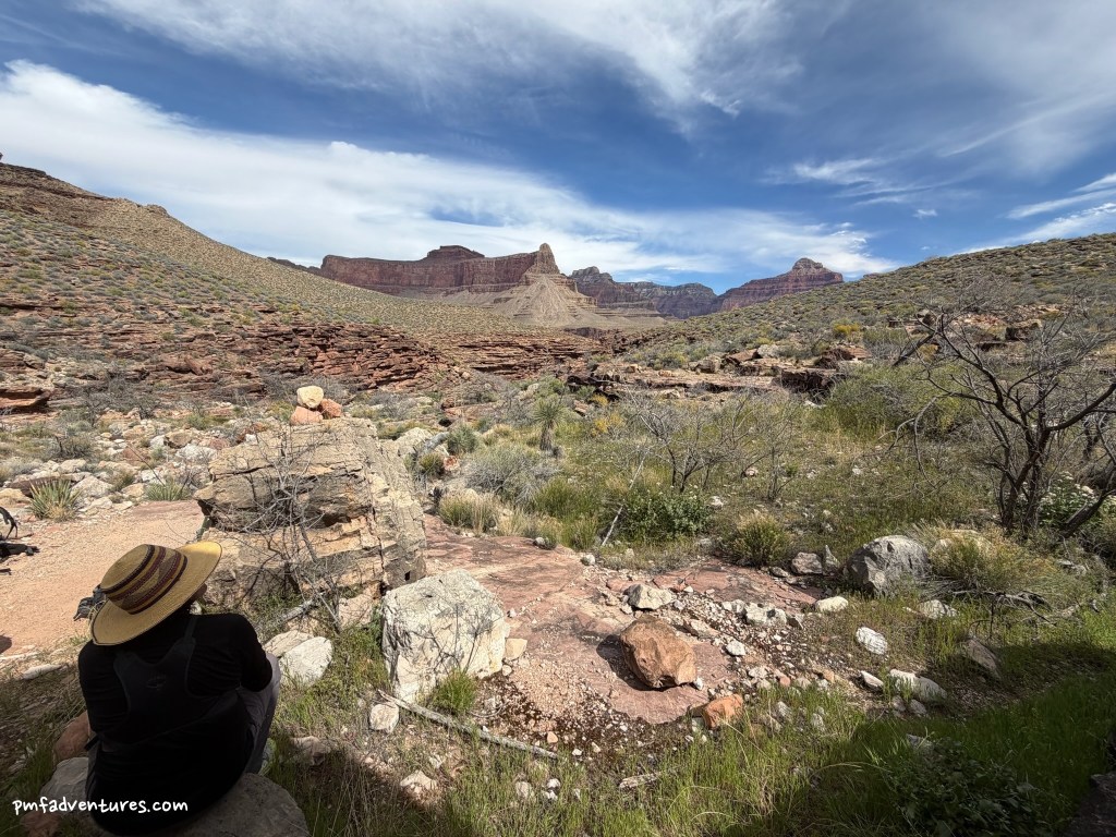
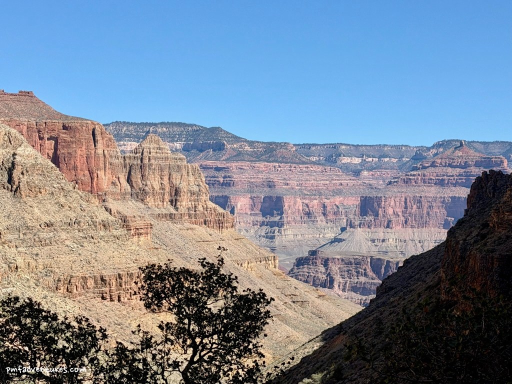
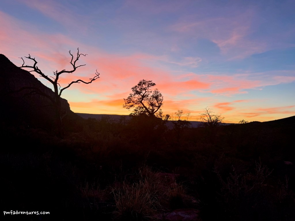
Trip Background: I love being on the Tonto Platform in the Grand Canyon, as you can really feel the immensity of the canyon when you are on a prominent, wide bench that is ~3,000 feet below the rim and ~1,000 feet above the river. But the Tonto Trail is not without its challenges, in particular that it can be very hot and exposed with very few reliable water sources. Prior to this trip, I had backpacked all of the Tonto Trail east of Hermit Creek. But the western Tonto is even more challenging, as it sees a lot less traffic, so it is rougher and harder to follow, and it has even less reliable water. To tackle this part of the Tonto, I decided to do a Grand Canyon Conservancy Field Institute trip, with guides who would know where to find water. A big key to success is to do the trip during the cooler months, when there is more likely to be water in the side canyons, so the trip was scheduled for mid-March. One final point of interest — the portion of the Tonto between Boucher Creek and Bass Creek is known as “The Gems”, since it traverses all of the side canyons named after precious stones (Agate, Sapphire, Turquoise, Emerald, Ruby, Serpentine).
At our pre-trip meeting on 3/9, we met our guides Christa and John and discussed logistics for the trip. The two main topics were water and weather. We have had a pretty dry winter, so we weren’t sure what to expect in terms of water sources. But Christa had done the trip in March 2025 after an even drier winter and they found water, so she was optimistic. The bigger concern was weather — the forecast was for mid-70s on the Tonto when we started and getting progressively hotter, possibly reaching the upper 80s to low 90s by the end. So much for doing the trip during a cooler month!
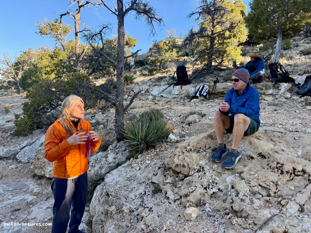
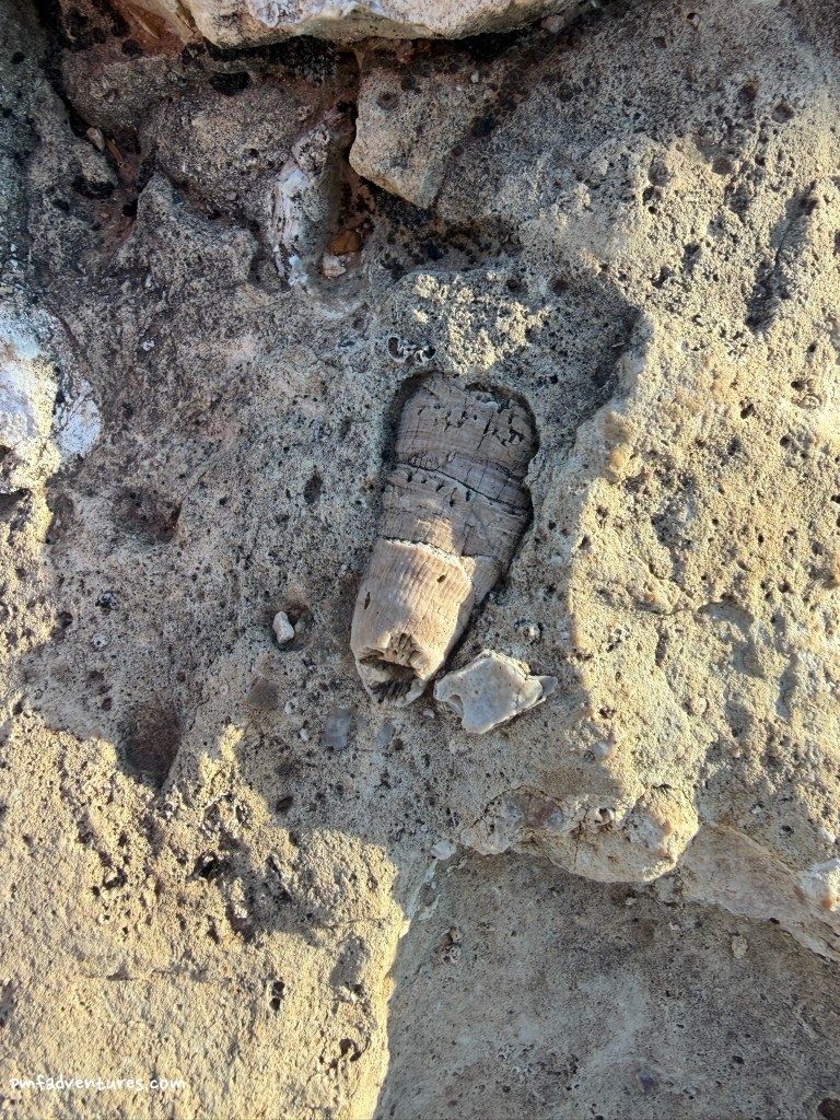
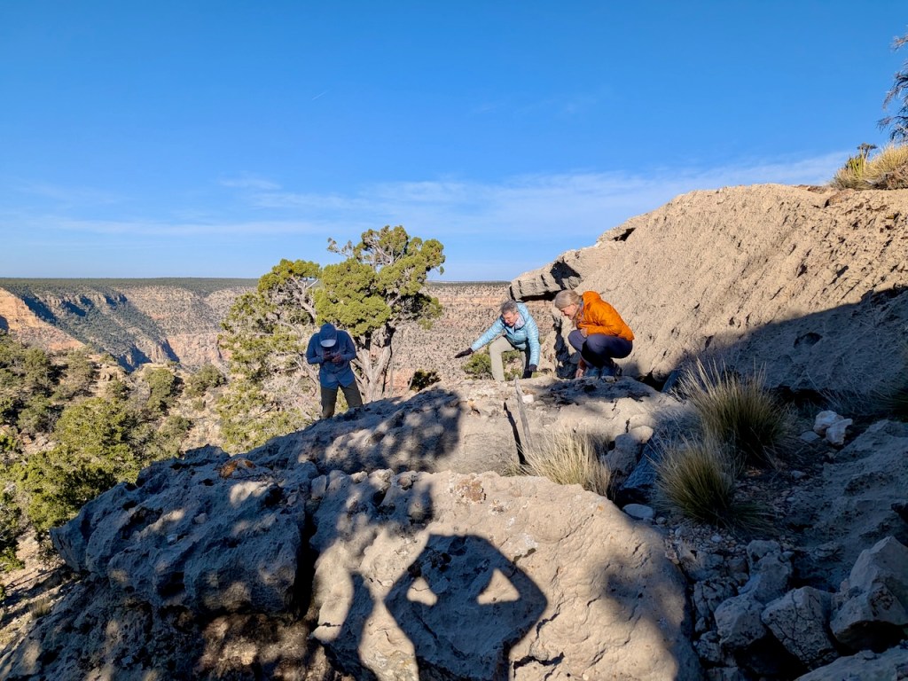
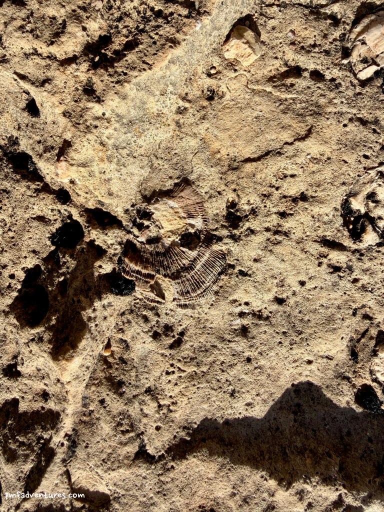
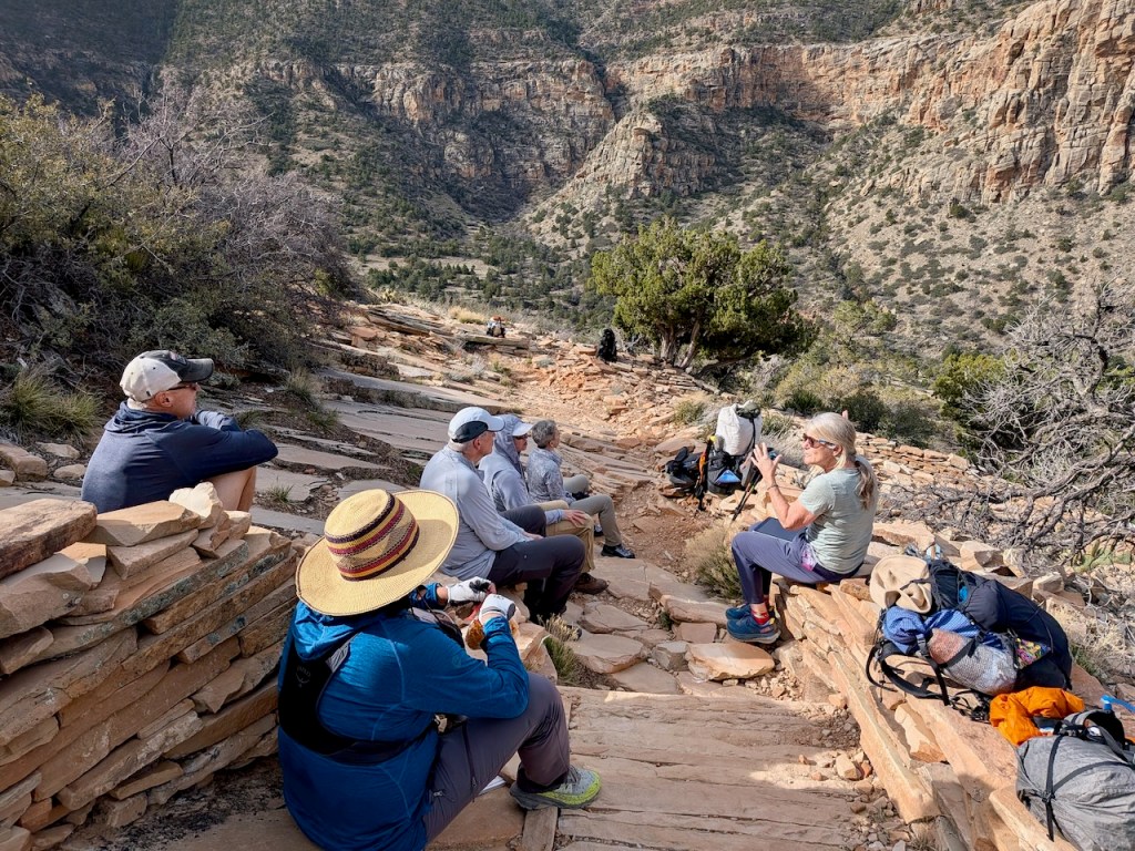
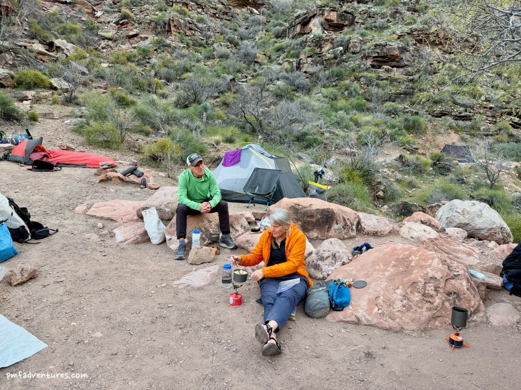
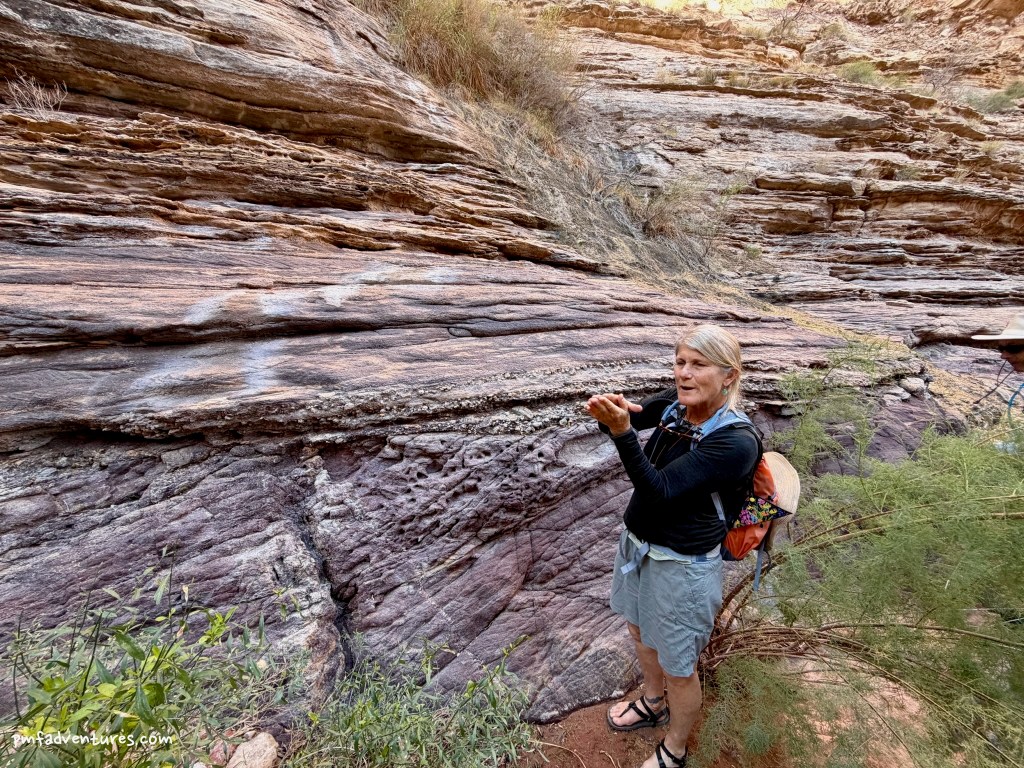
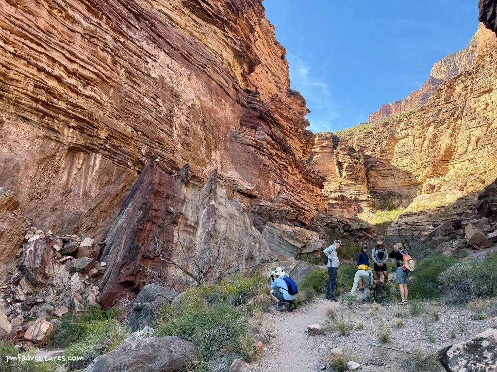
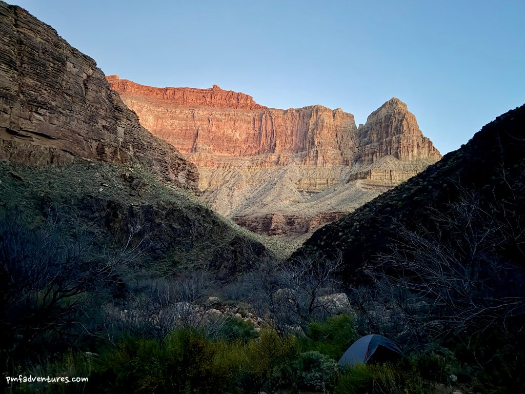
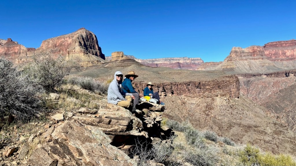
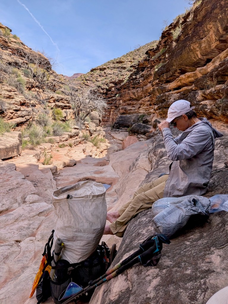
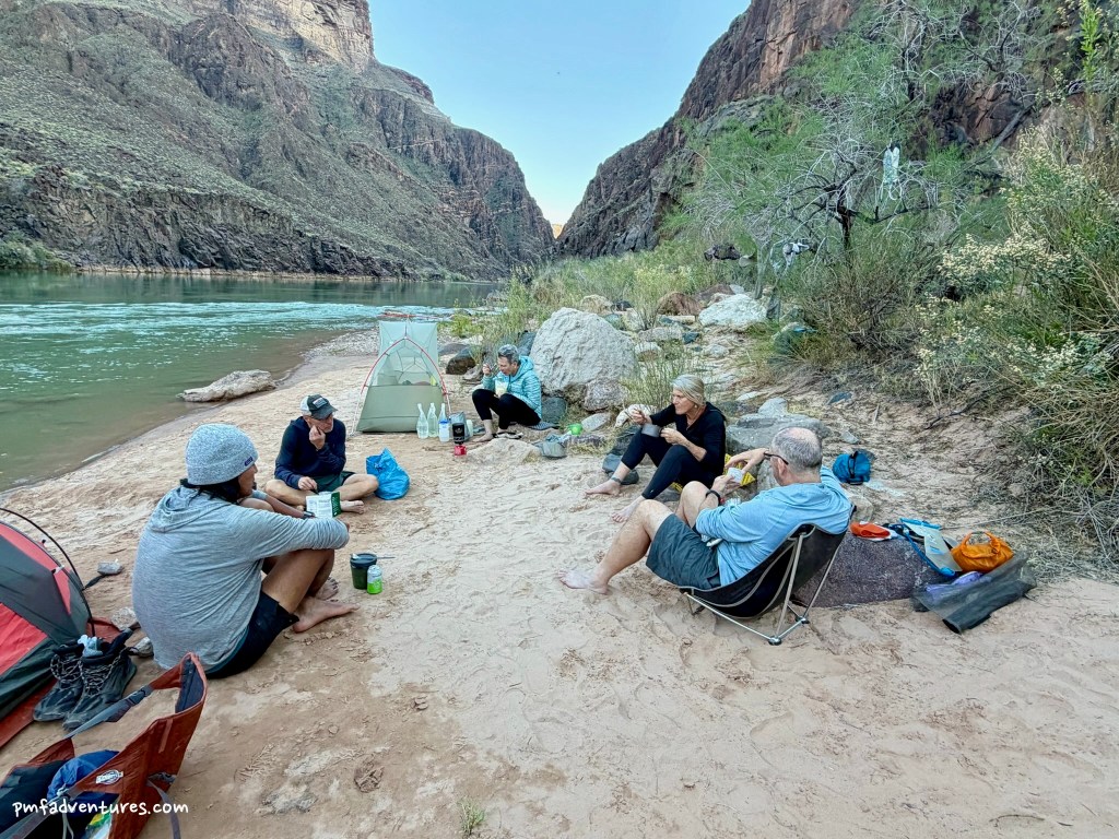
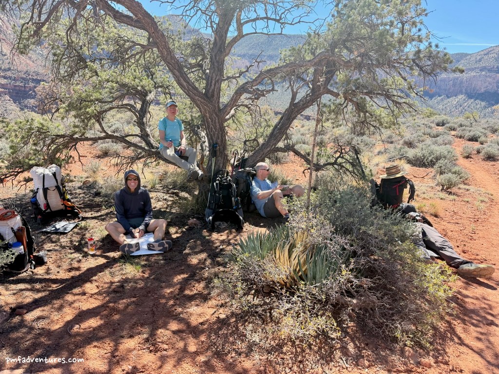
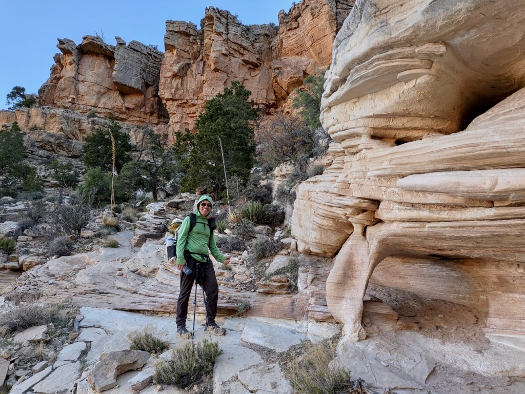
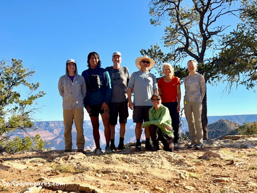
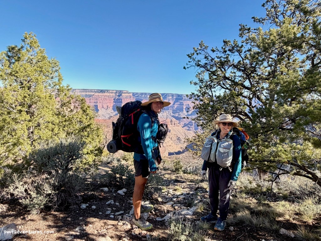
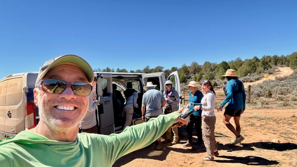
Day 1 (3/10/2026) – Hermit Trailhead to Hermit Creek: We met at 7:15 AM to load up the van for the drive to the Hermit Trailhead. With food for 9 days/8 nights, my pack weighed in at 52 pounds. I was impressed with how small some of the other packs looked, but I was also happy to see that mine wasn’t the biggest pack. Fortunately, we didn’t need to carry extra water for the hike down, since there is reliable water at Hermit Creek. The hike down was quite nice — cool temperatures, patches of shade and some high clouds to break up the sky — and we made it to camp around 4, despite two lengthy stops for geology discussions and fossil hunting. I’ve been on the Hermit Trail a few times, so have seen the actual fossils in the Kaibab Limestone and the trace fossils in the Coconino Sandstone. But it was great to have Christa explain the geology that led to the fossils and also tell us exactly what we were looking at.
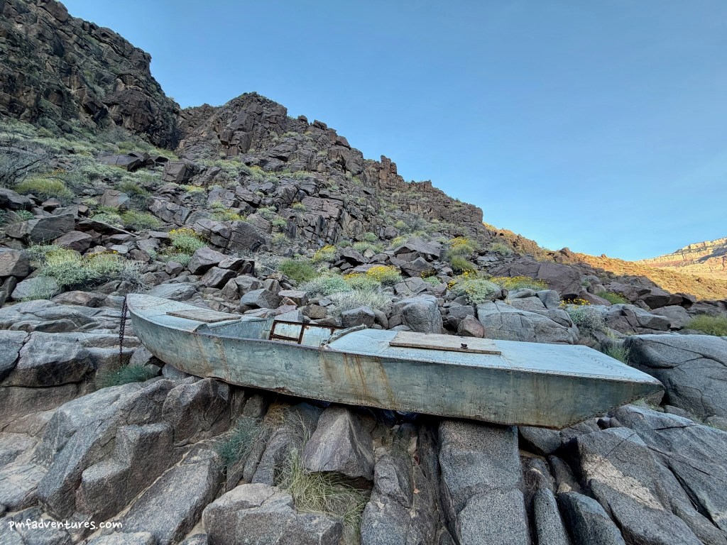
Day 2 (3/11/2026) – Layover at Hermit Creek: On our layover day at Hermit Creek, we enjoyed a leisurely morning in camp and then hiked down the creek to the Colorado River. Hermit Creek cuts through an impressive gorge of Tapeats Sandstone before dropping into the Vishnu Formation. There is also a lot of cool geology, from walls plastered with travertine and salt, to an outstanding view of the Great Unconformity, to an immense pegmatite dike full of large crystals of quartz, pink potassium feldspar, silver muscovite mica, and black hornblende. We spent some time at the river, where Christa explained how rapids like Hermit are formed, and we got to see a river trip run the rapid. When we got back to camp, Christa asked who wanted to try to hike/bushwhack up Hermit Creek to find Hawaii Springs. Since I’m always up for an adventure, I headed off with Christa and John on what turned out to be quite a thrash in places. We did our best to avoid getting torn up by catclaw acacia and sawgrass and spent a lot of time walking in the creek as it was the easiest way to make progress. We made it about a mile before we ran out of energy to keep battling the bushes, so we didn’t make it to Hawaii Springs, but we saw a lot of cool waterfalls and enjoyed being in a place that very few people see.
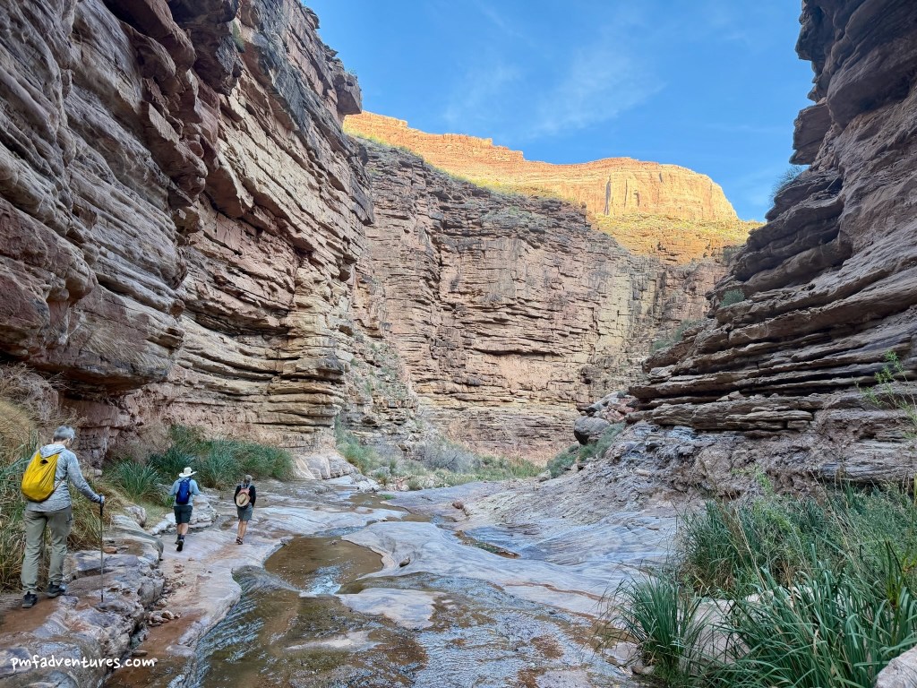
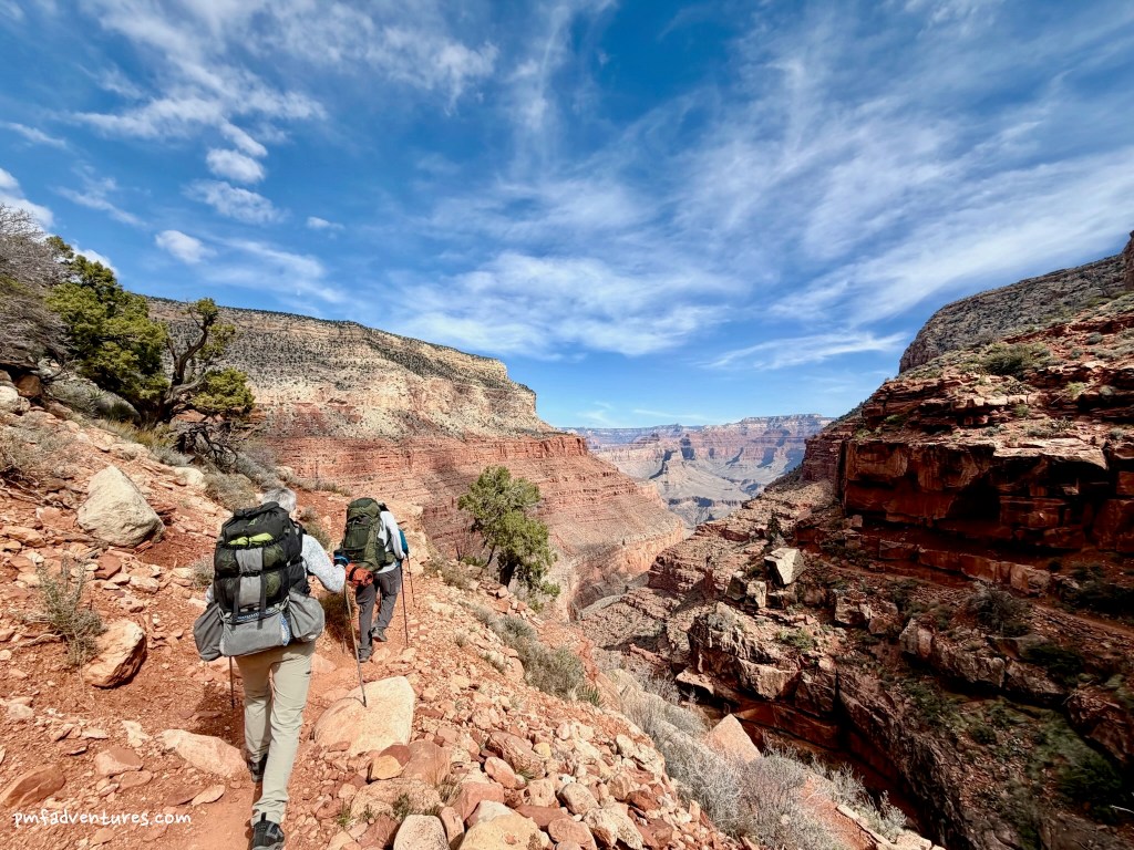
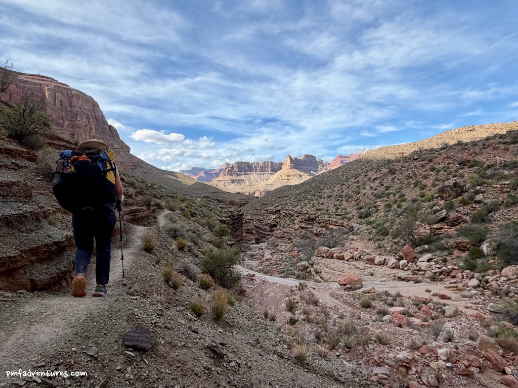
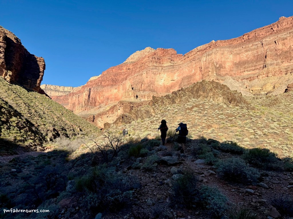
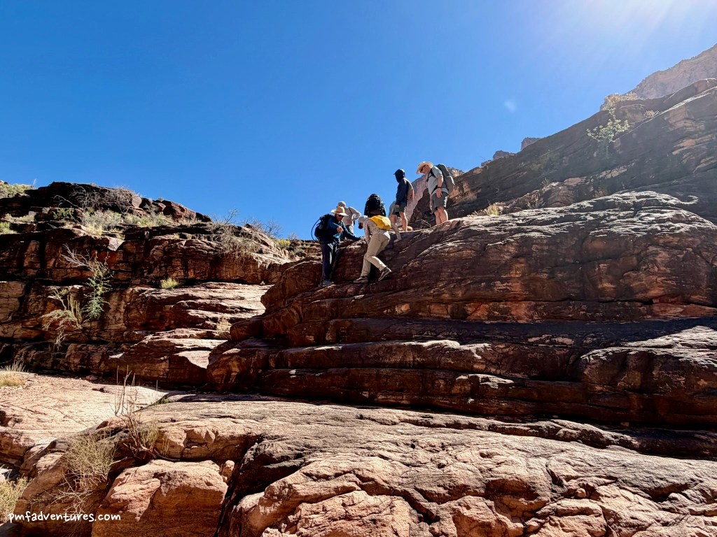
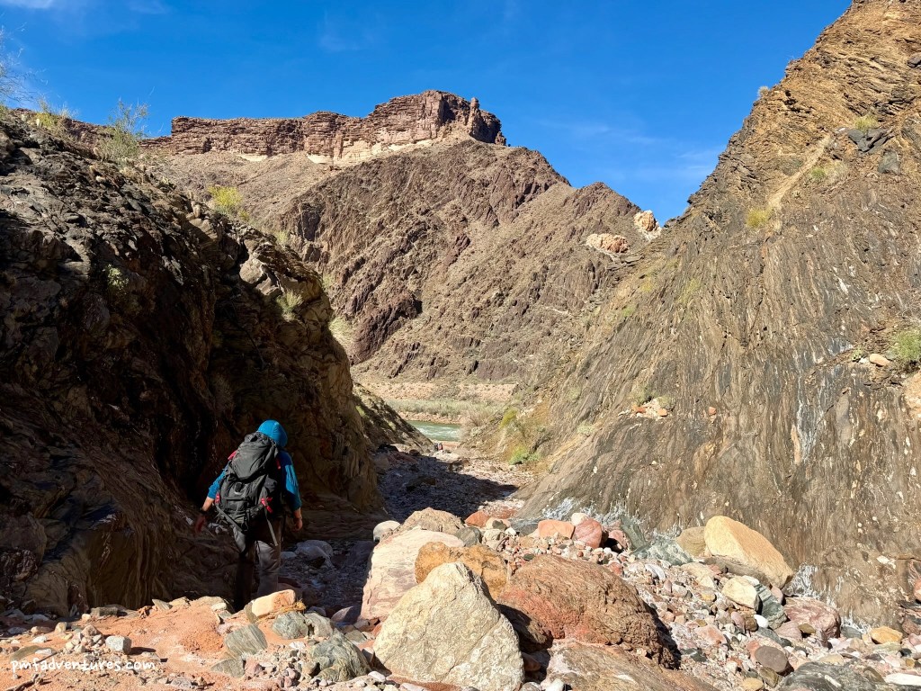
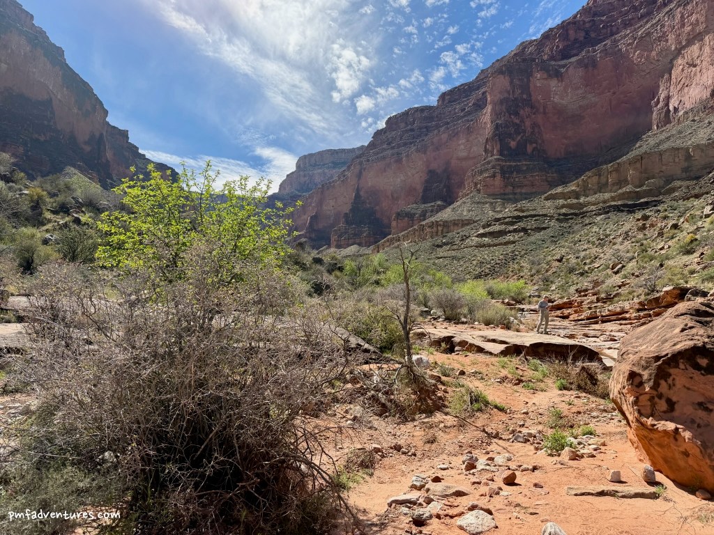
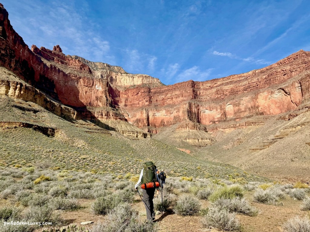
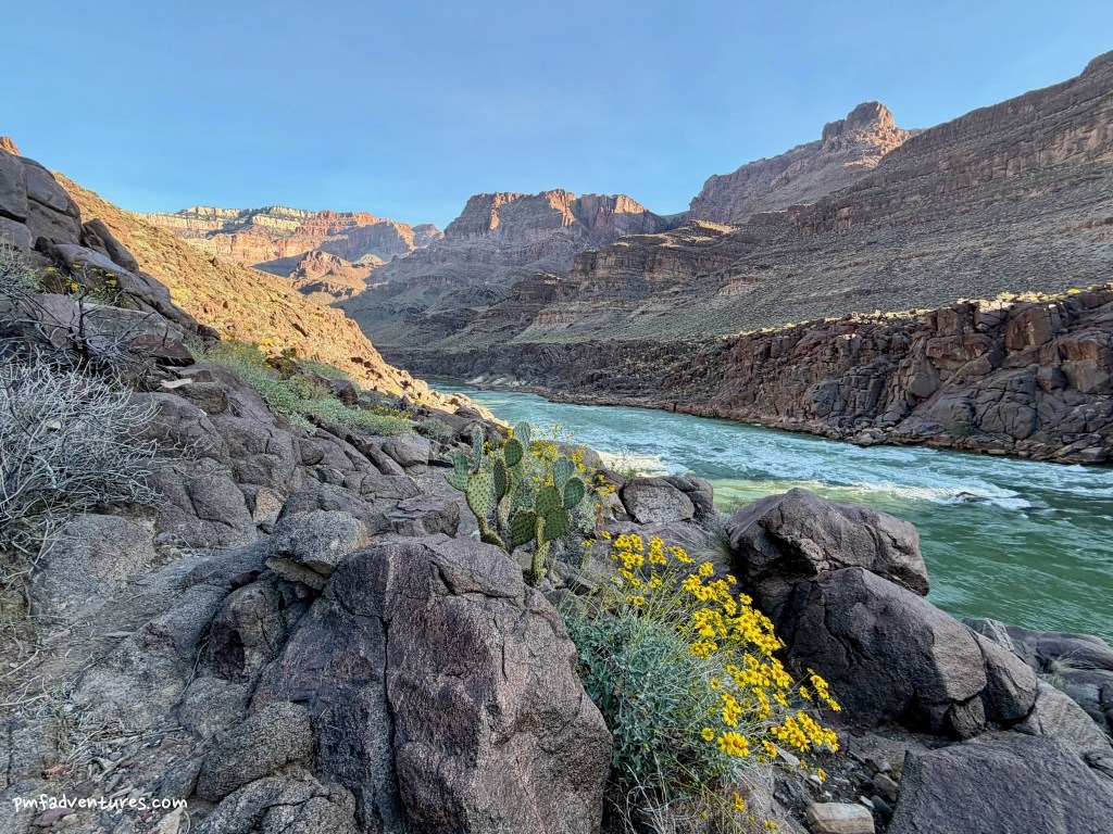
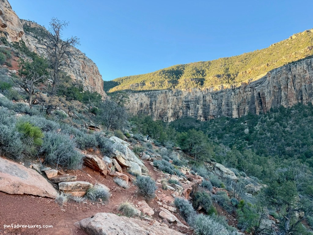
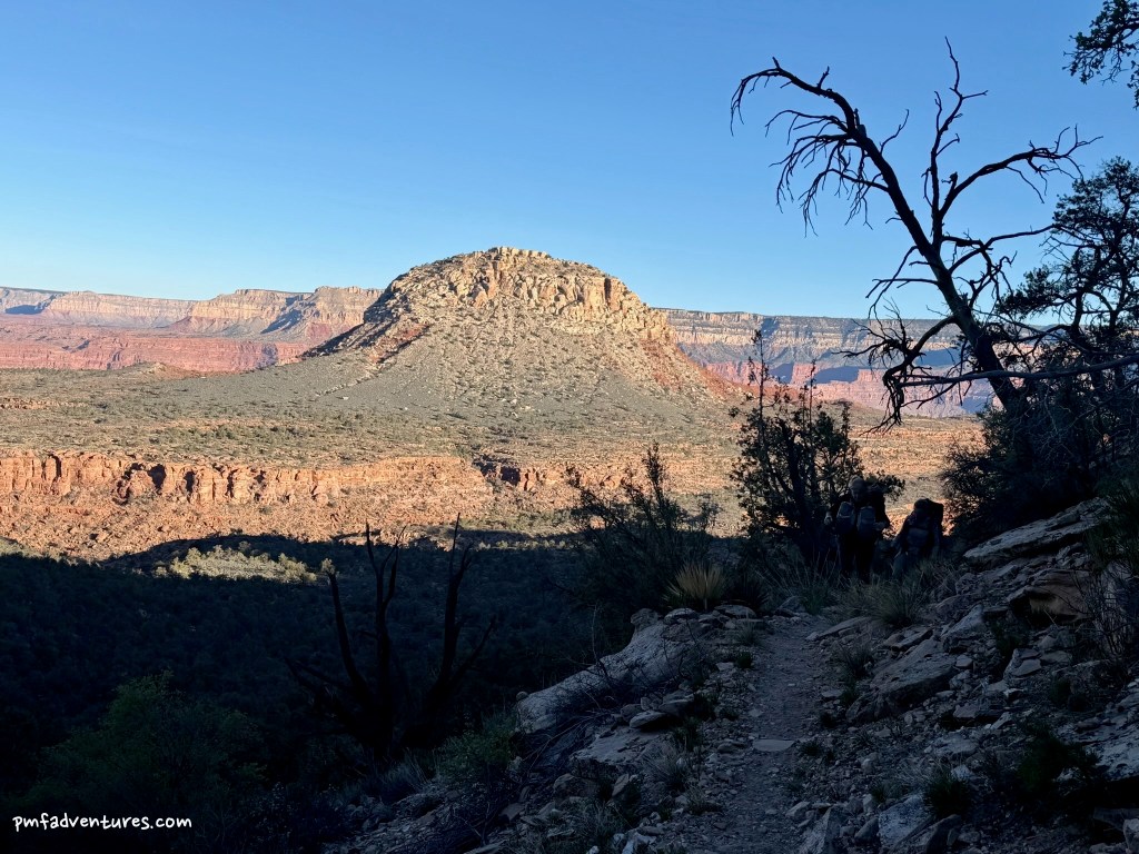
Day 3 (3/12/2026) – Hermit Creek to Boucher Creek: Now we started heading west on the Tonto Trail, with a short day of just over five miles to Boucher Creek. We knew there would be water at Boucher, so we only had to carry enough for the hike. And the trail was pretty easy to follow, as the section from Hermit to Boucher sees a bit more traffic than farther west. We got a great view of Hermit Rapids from above and got to see another river trip ride the wave train. We enjoyed a nice break in the shade in Travertine Canyon and then continued on to Boucher Creek, arriving at camp around 12:30. It was only in the low 80s, but it felt quite hot at camp, as there was no shade. We hiked down the creek to the river in the afternoon and it was wonderful to soak my feet in the water and listen to Christa explain how the basement rocks were formed.

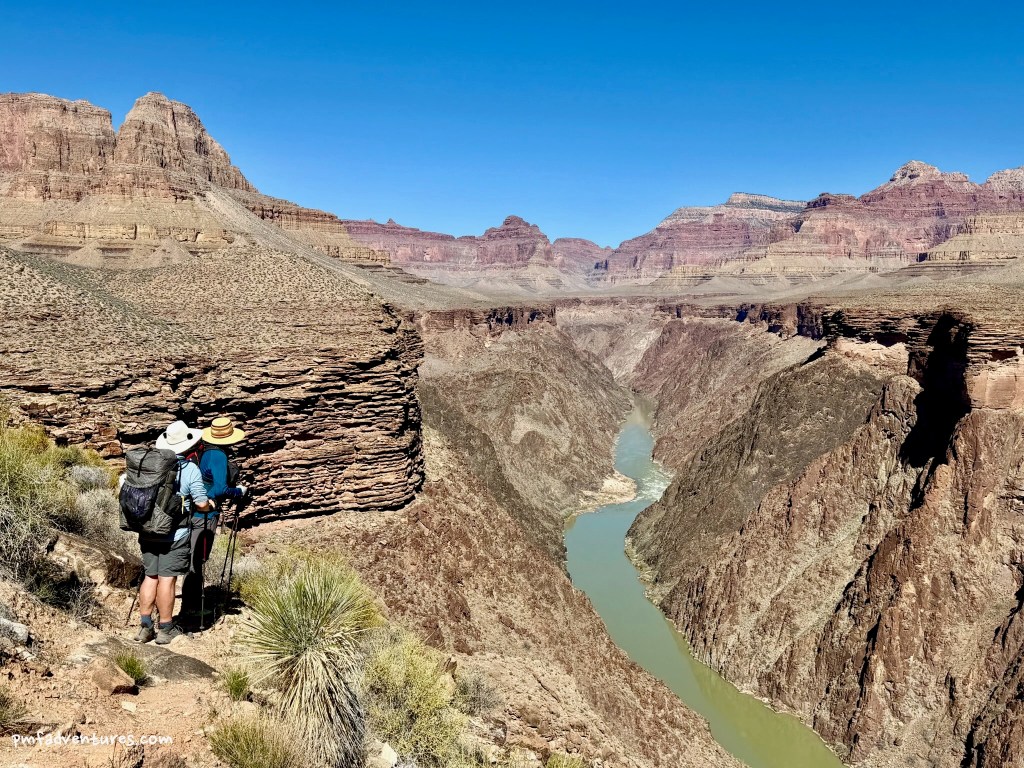
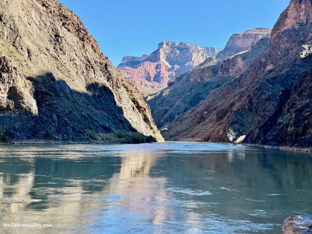
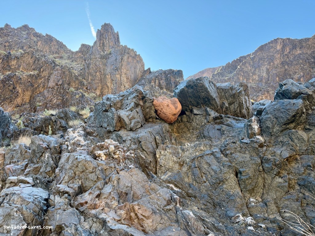
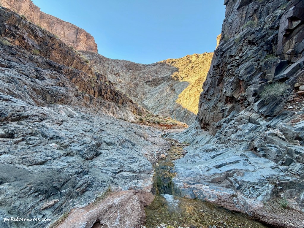
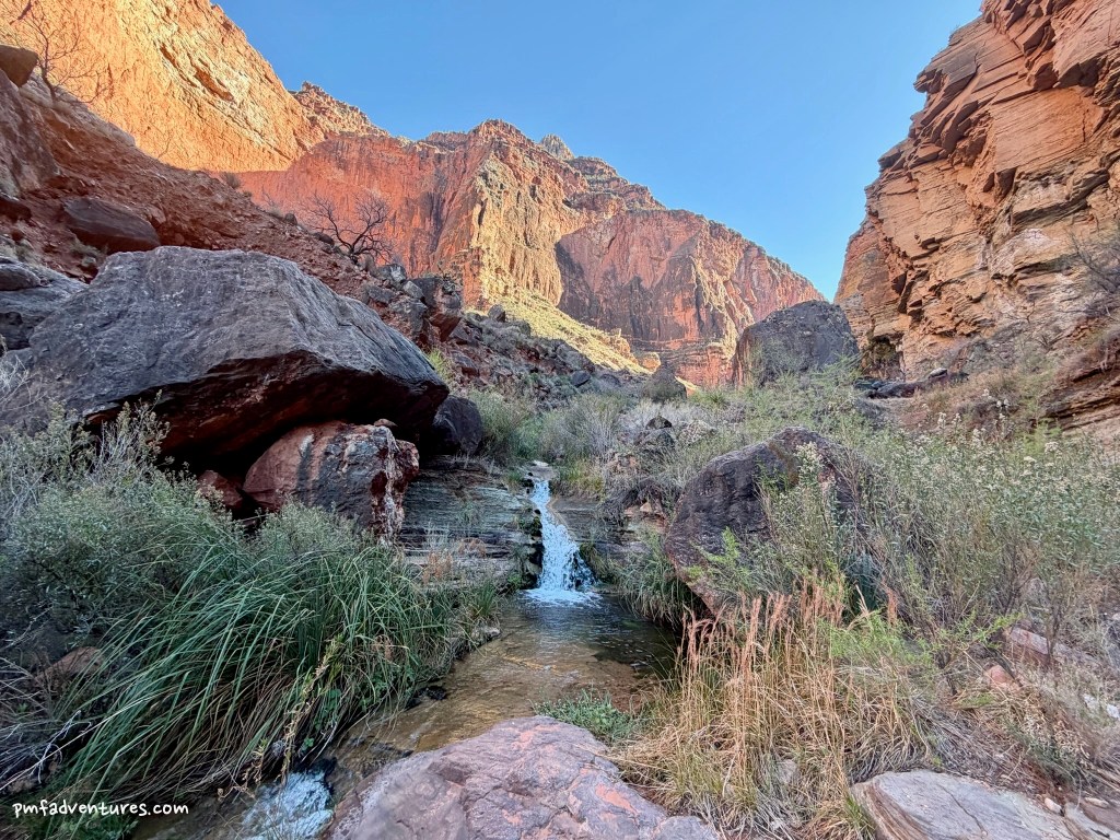
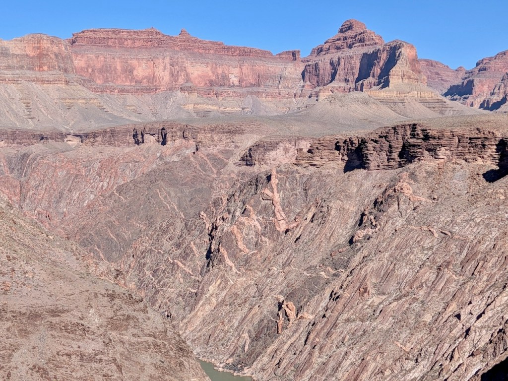
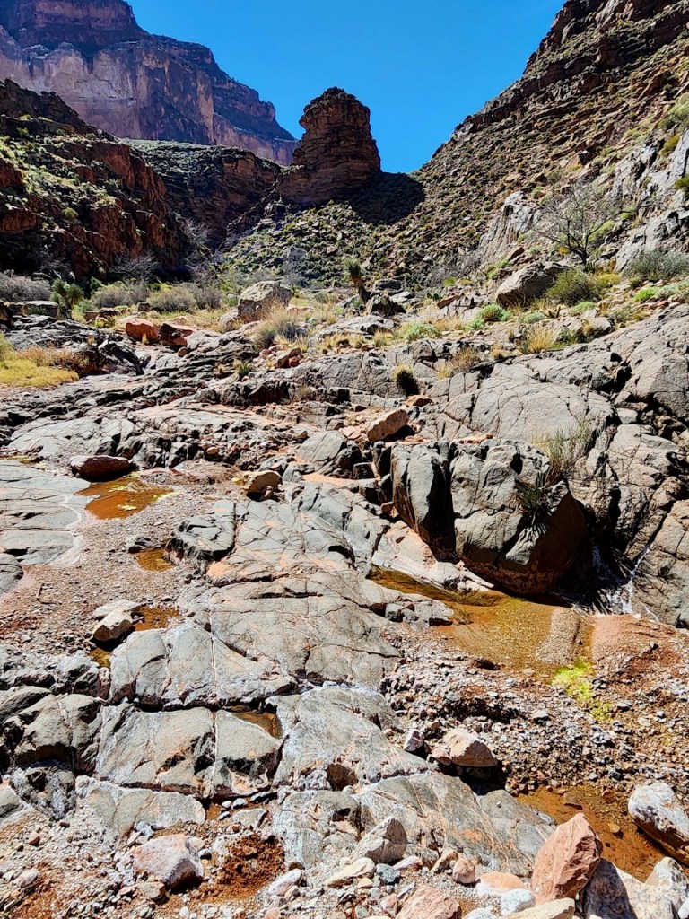
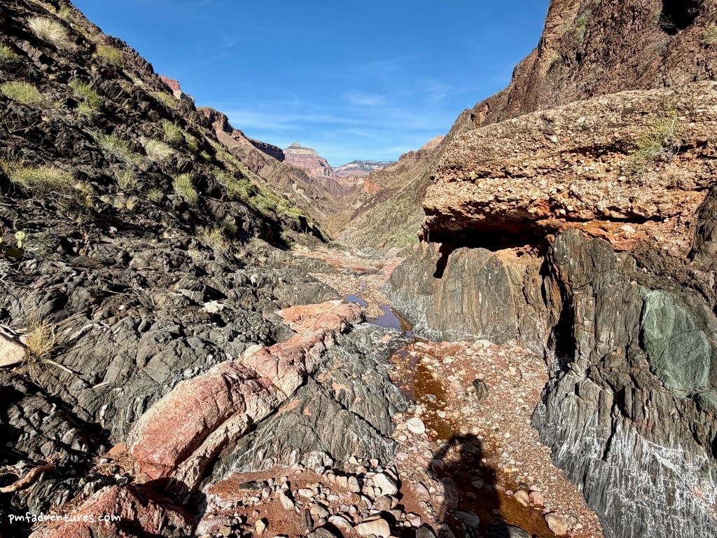
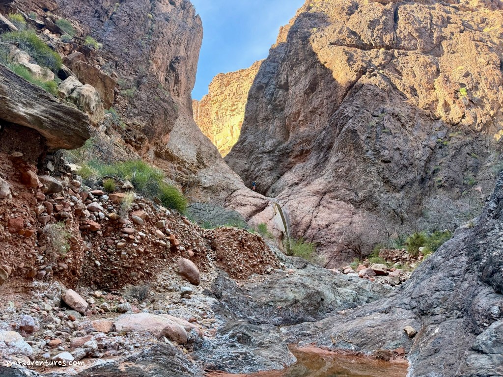
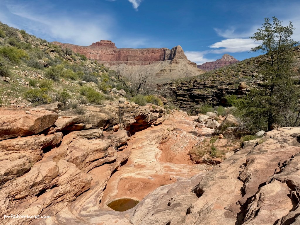
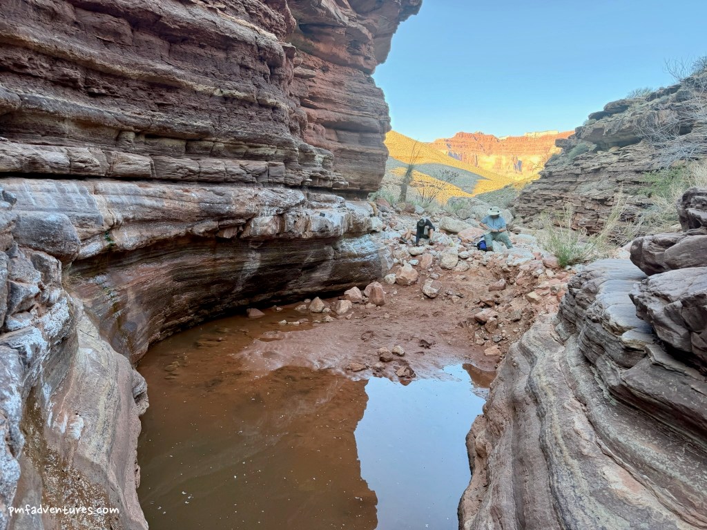
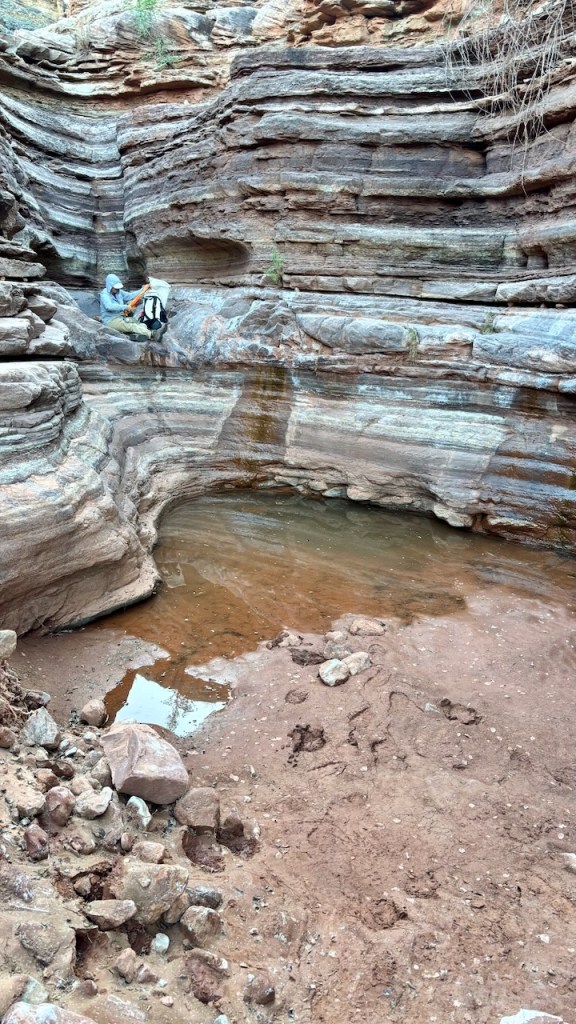
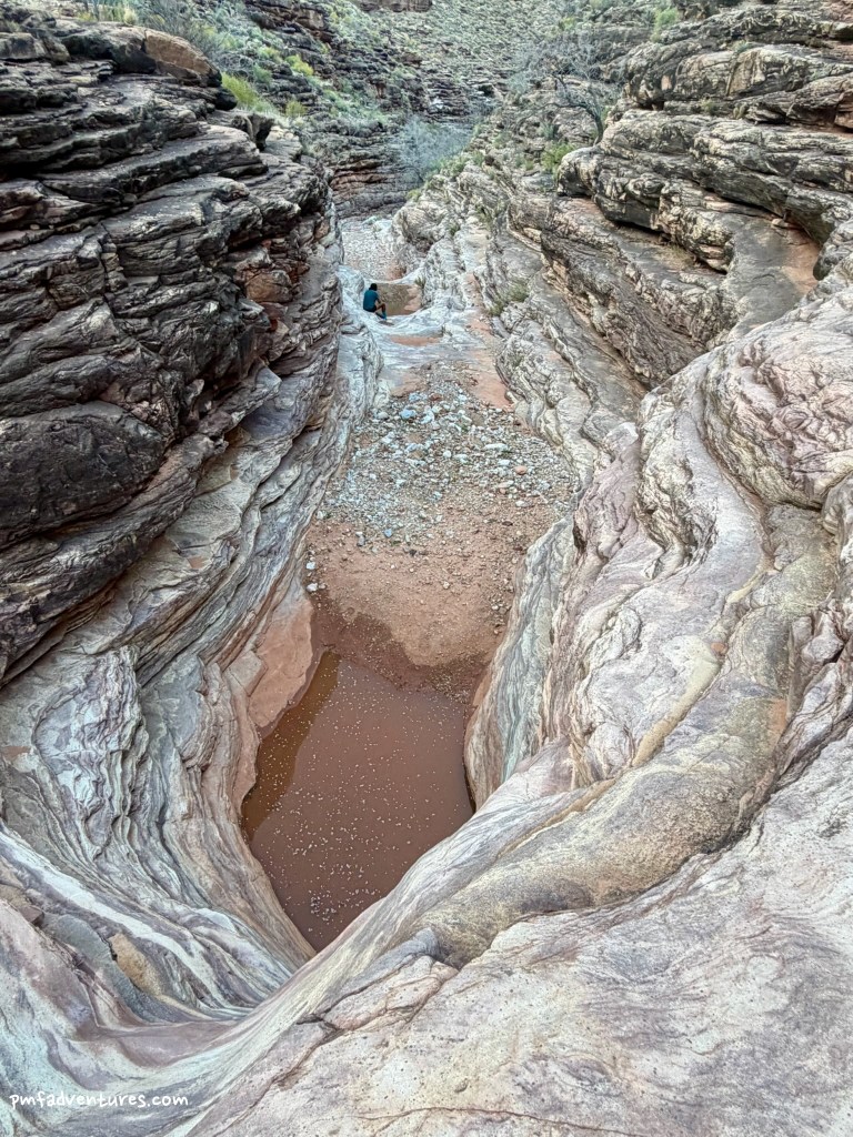
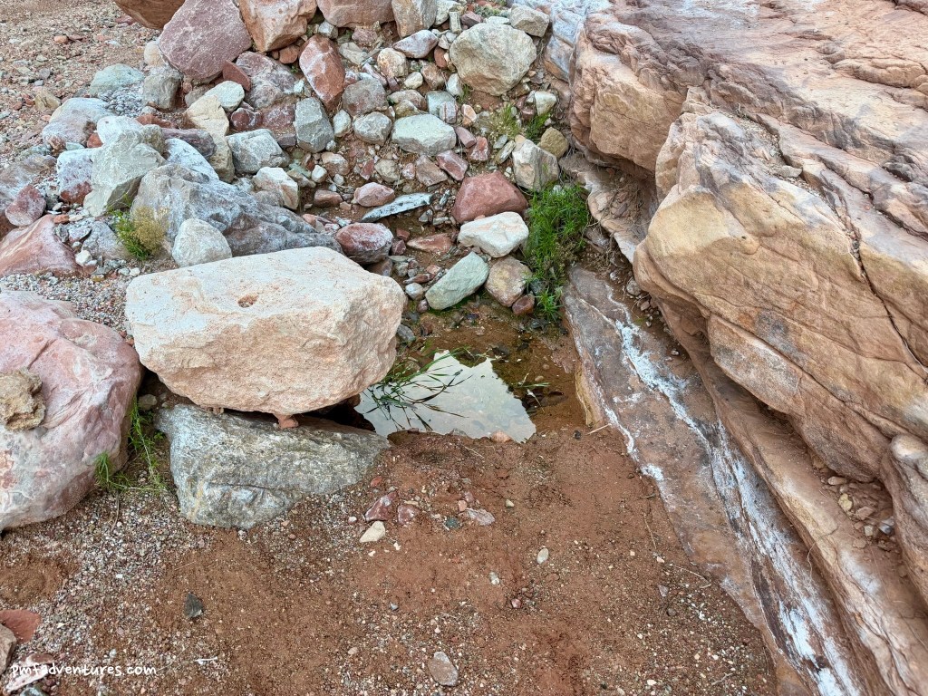
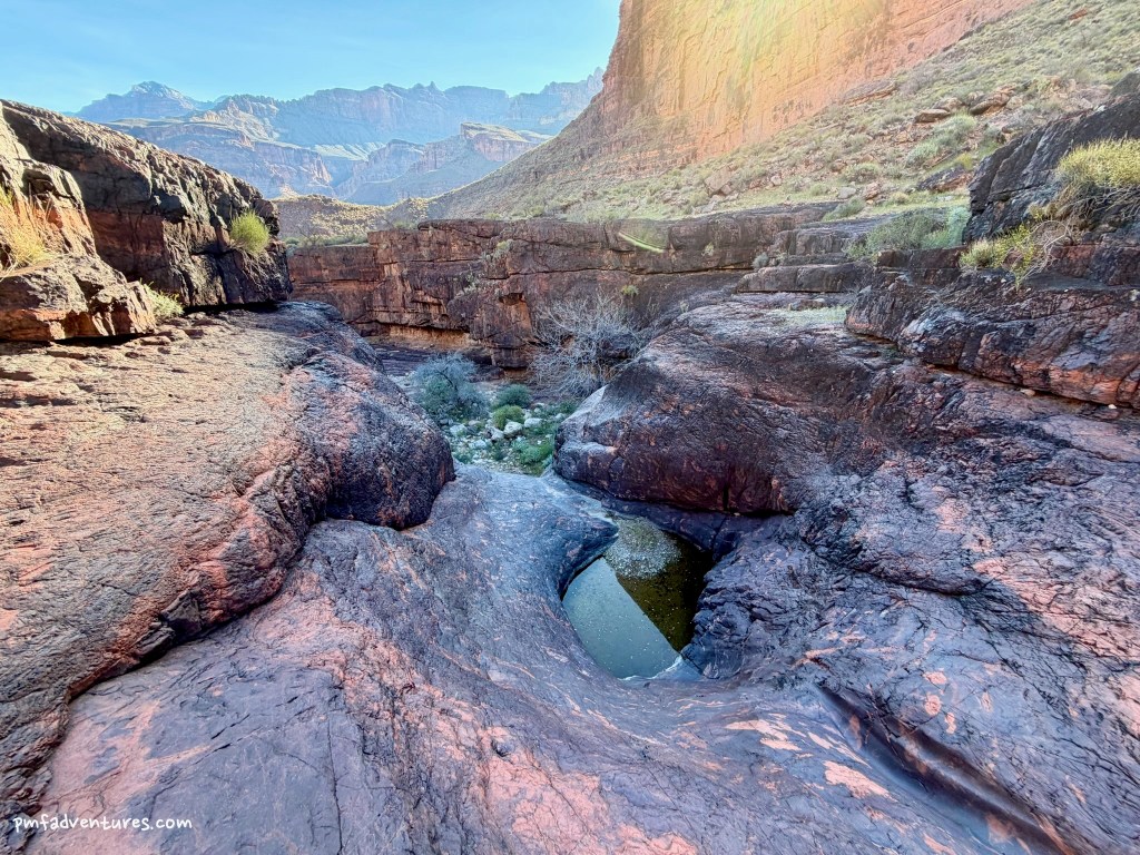
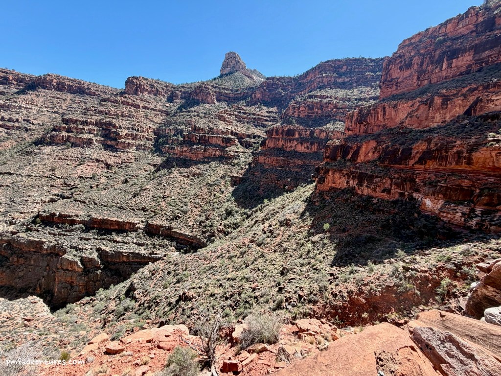
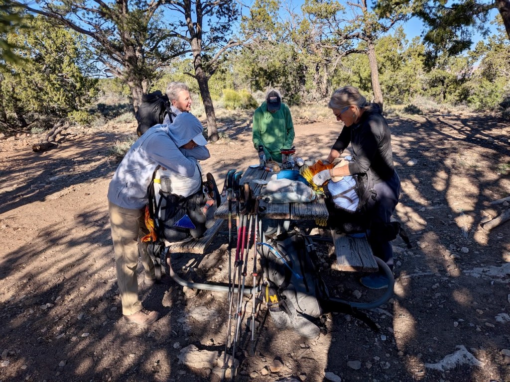
Day 4 (3/13/2026) – Boucher Creek to Slate Creek: When we left Boucher Creek, we knew we were leaving the last completely reliable water source for about 30 miles. We were headed to Slate Creek and Christa was pretty sure that we’d be able to find water in some pools below where the Tonto crosses Slate Creek. And since it was a shorter day (only five miles), we also had the option to go down Slate Creek to the river to get water if necessary. The Tonto gets really close to the rim just before you turn up Slate Creek, so we got a great view of Crystal Rapids from above. We arrived at Slate around noon and enjoyed lunch in some welcome shade next to a huge boulder. Then we emptied our packs so that we could load up with water and headed downstream to see what we could find. There’s a bit of fun down climbing to get into the creek bed below the trail. As we were walking downstream, we were happy to start seeing mud, then trickles of water, then small pools before we found some good-sized pools at about 0.6 miles below the trail. It was great to find water; the only downside is that it was very mineralized, so it made your mouth dry when you drank it.
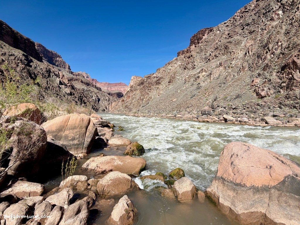
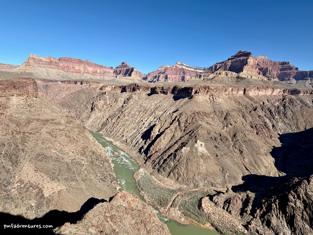
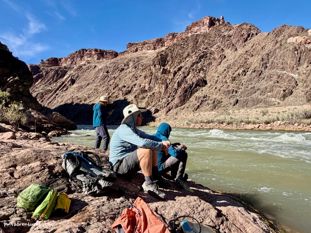
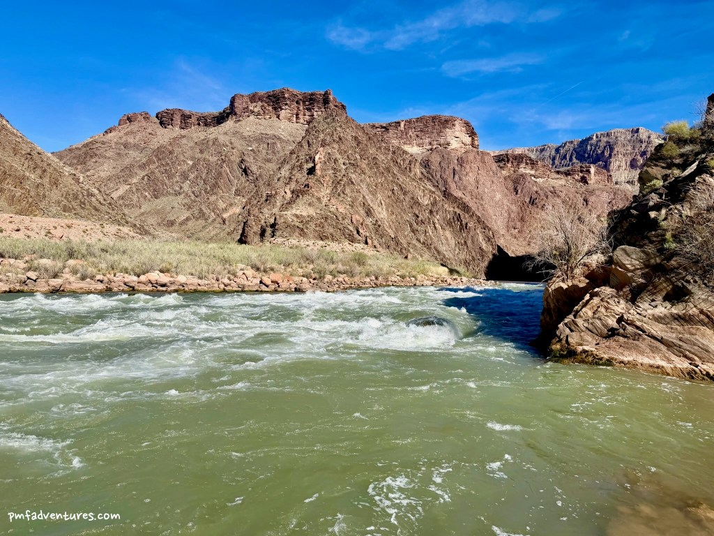
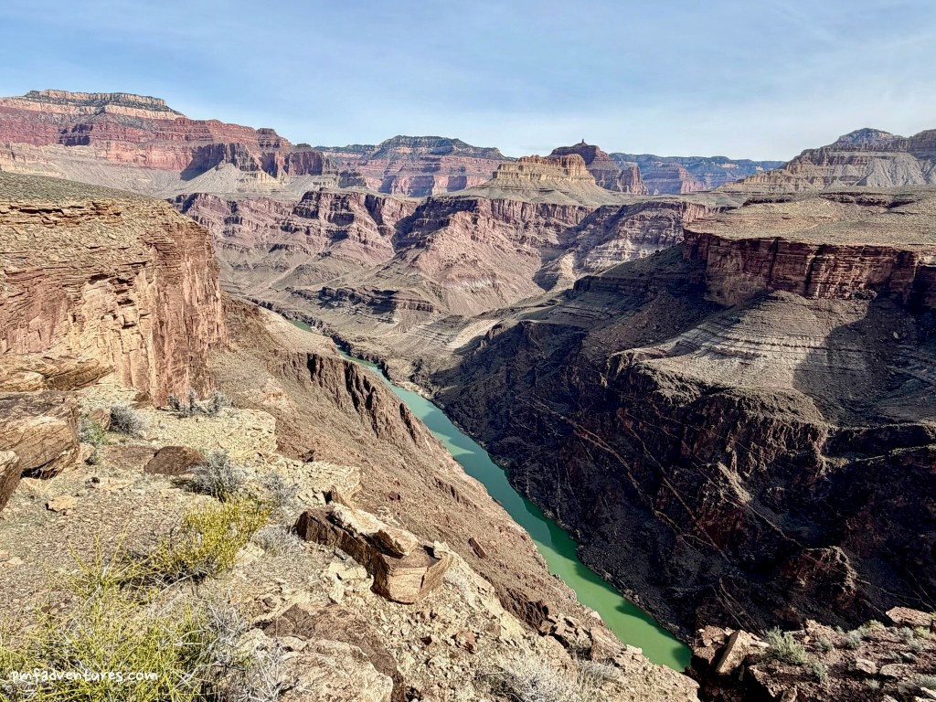
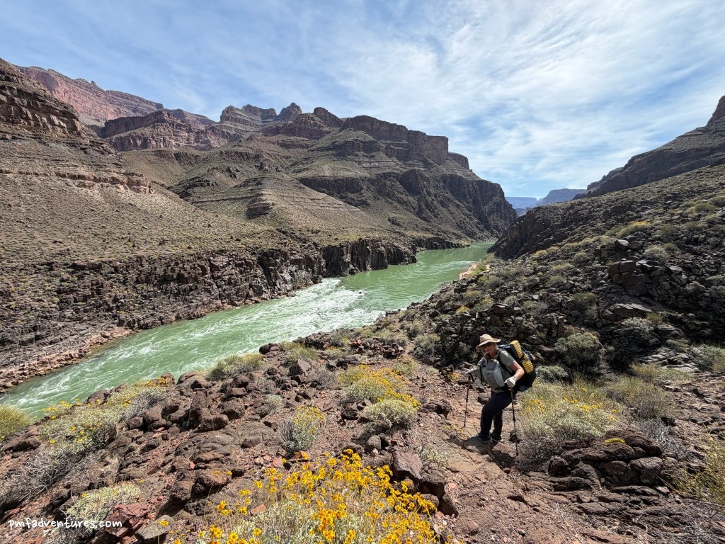
While we were filtering water, Christa asked who wanted to hike down to the river and see Crystal Rapids up close. Brenor and I were game, so we headed off with Christa and John for an off trail adventure. We had to climb a few hundred feet up and out of the creek bed on nasty loose talus and scree to avoid some pour overs, which made for slow going and I kind of felt like I was back off trail in Glacier (except the scenery is completely different!). We did make it down to the river and spent a few minutes enjoying being right in the middle of Crystal Rapids. And then we headed back upstream, as we knew we were racing daylight to get back above the pour overs, finish filtering water, return to where we had stashed our gear, set up camp, and eat dinner. It was a fun adventure to get down to the river, but it did make for a long day.
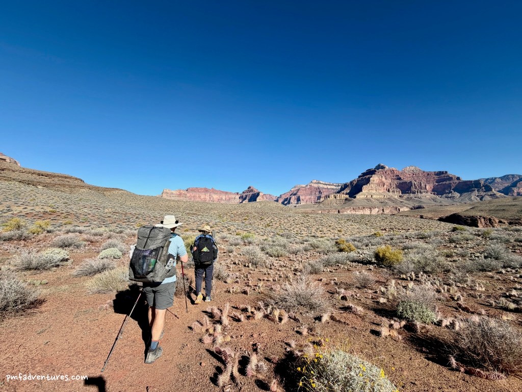
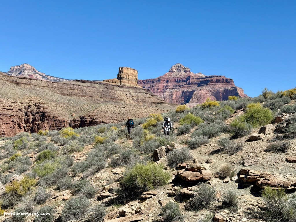
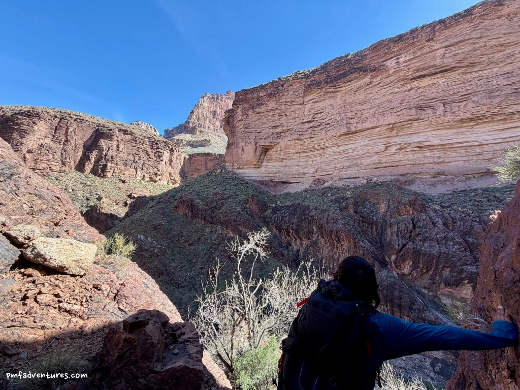
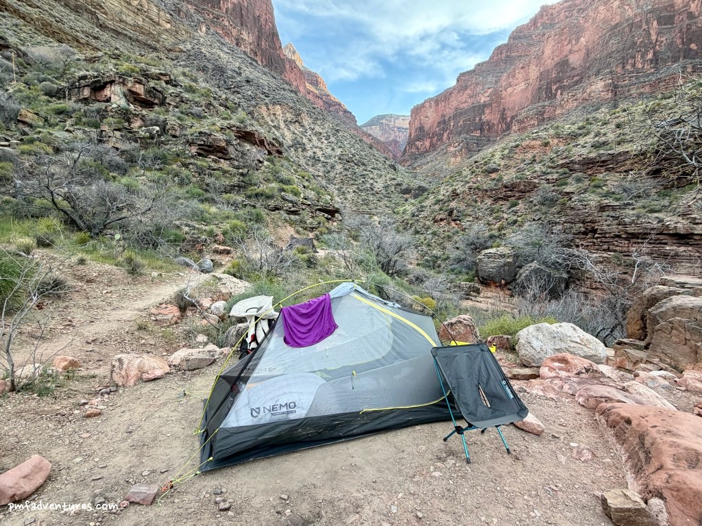
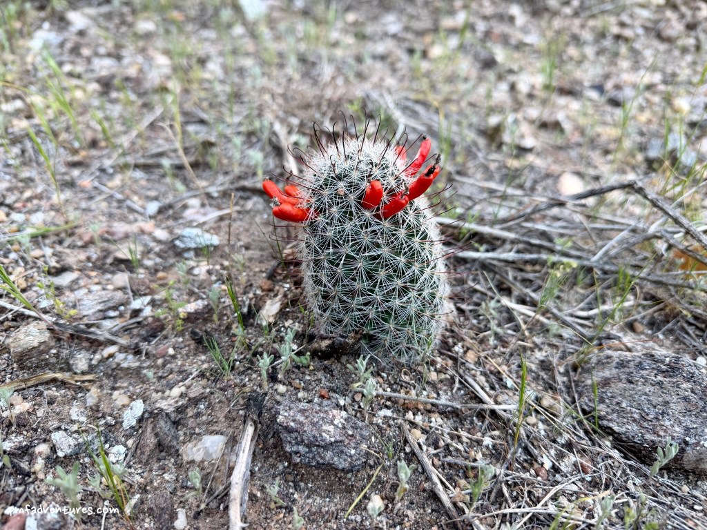
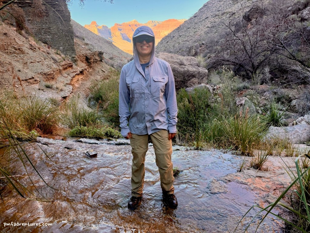
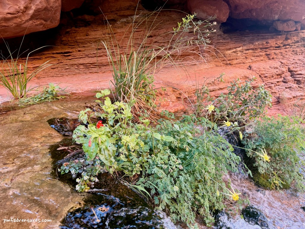
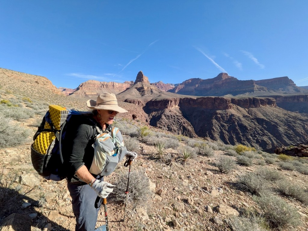
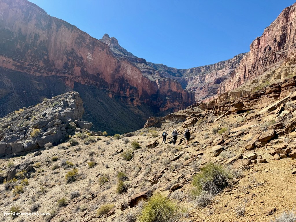
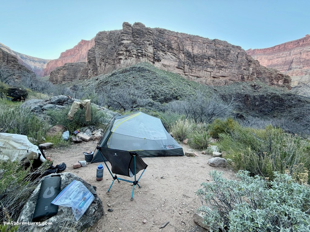
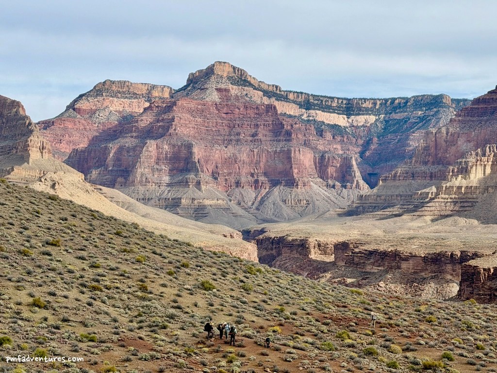
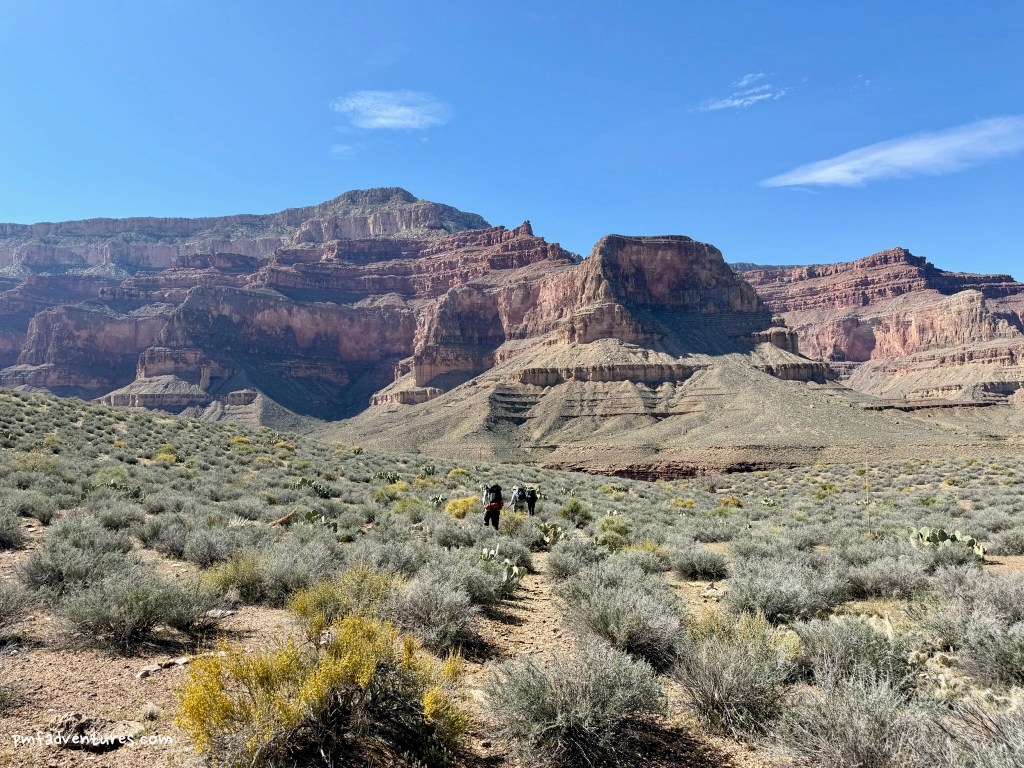
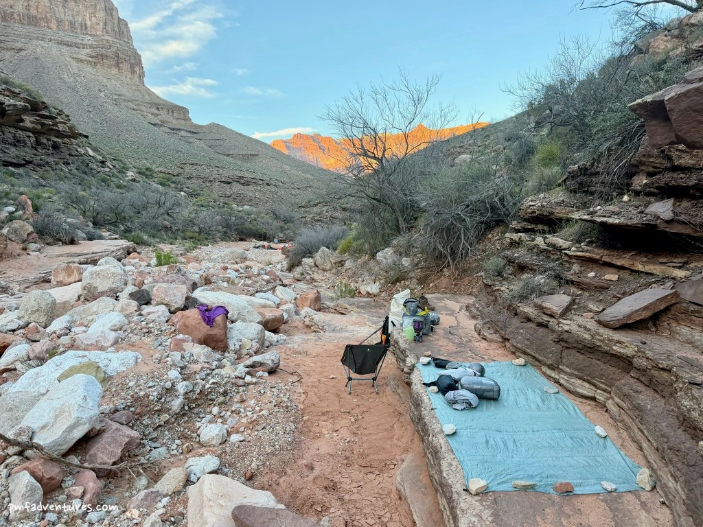
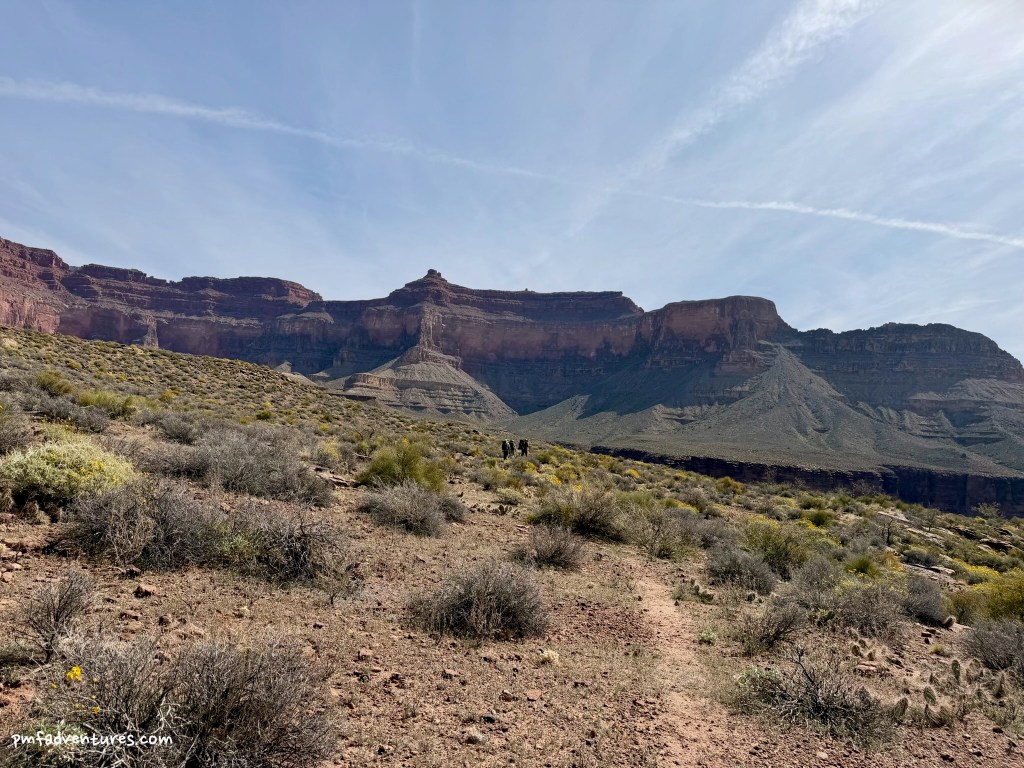
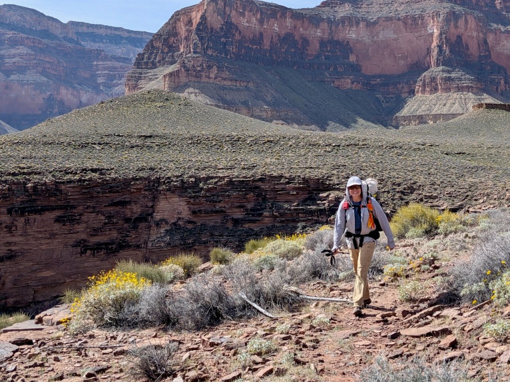
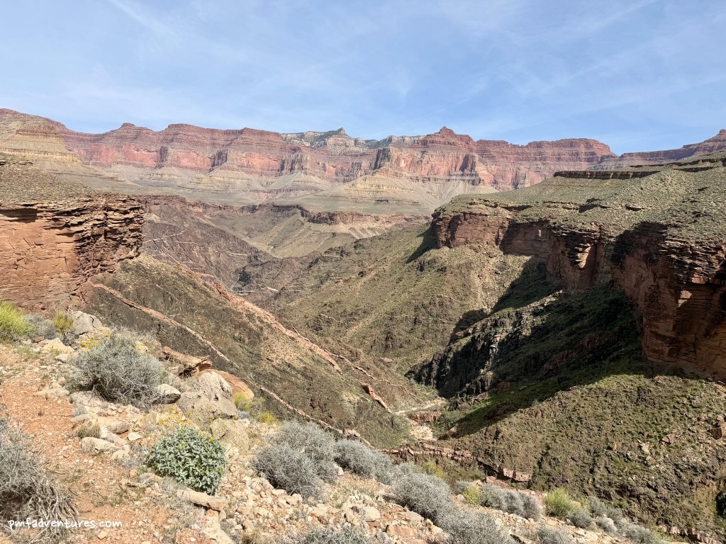
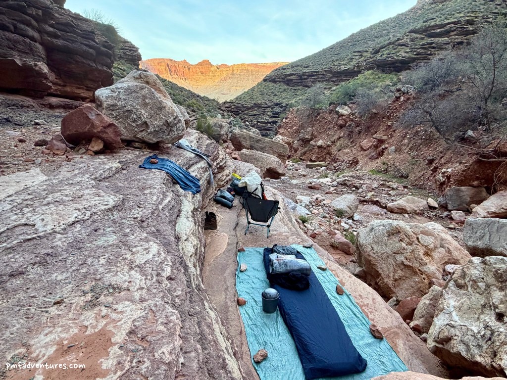
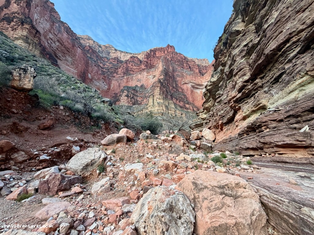
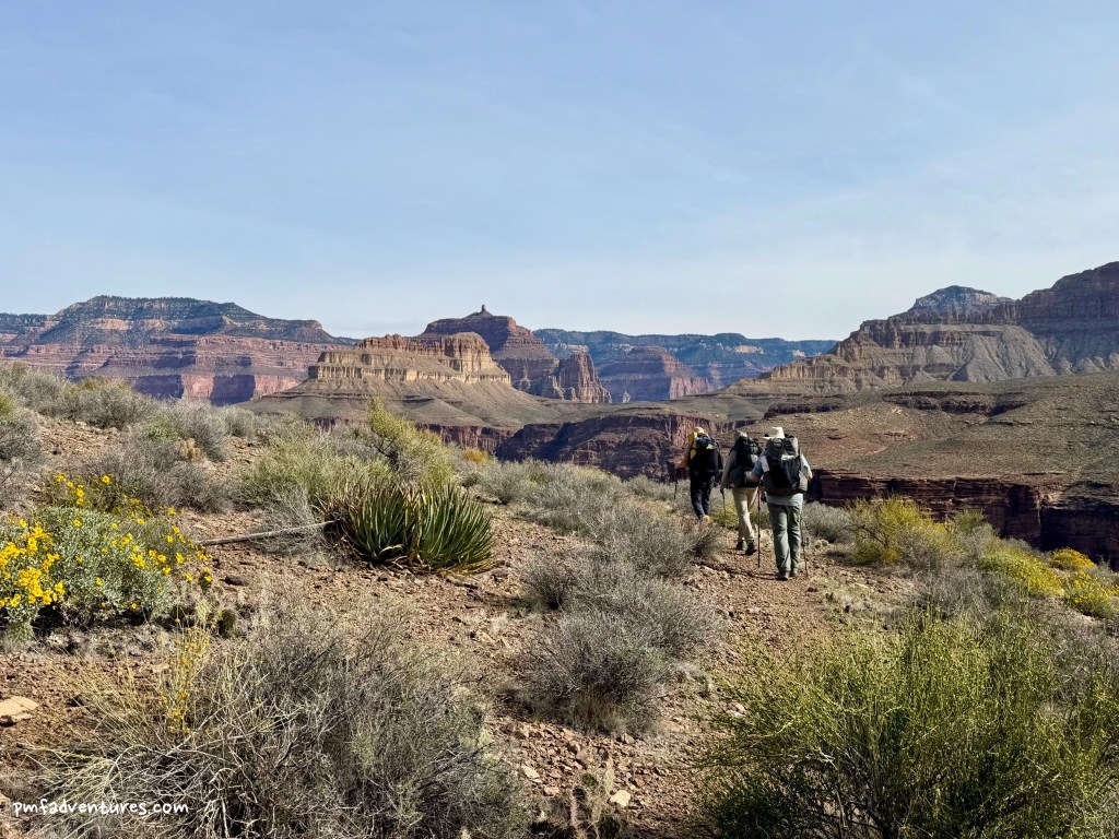
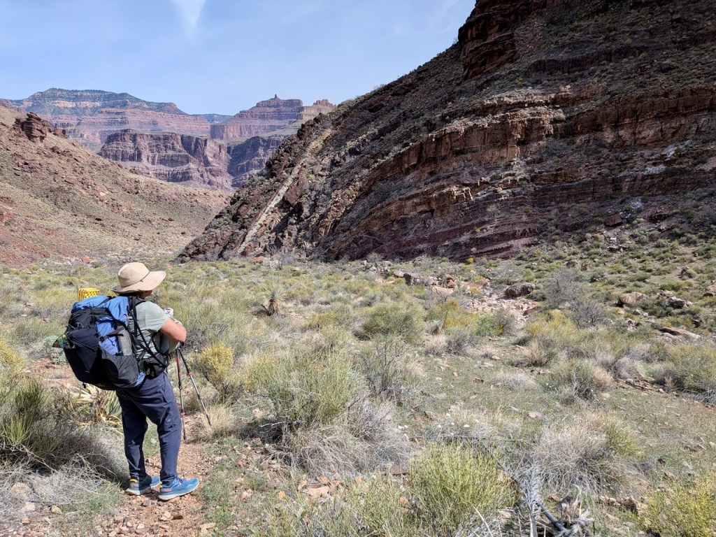
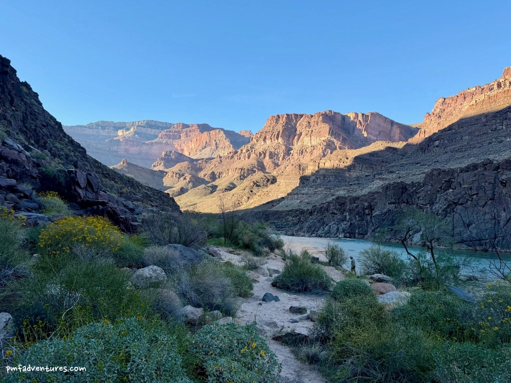
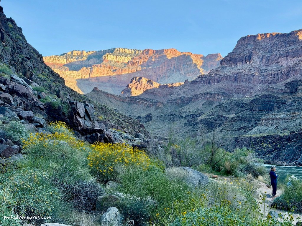
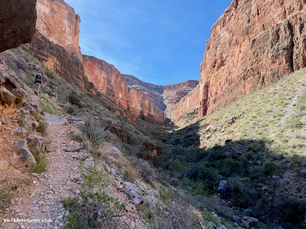
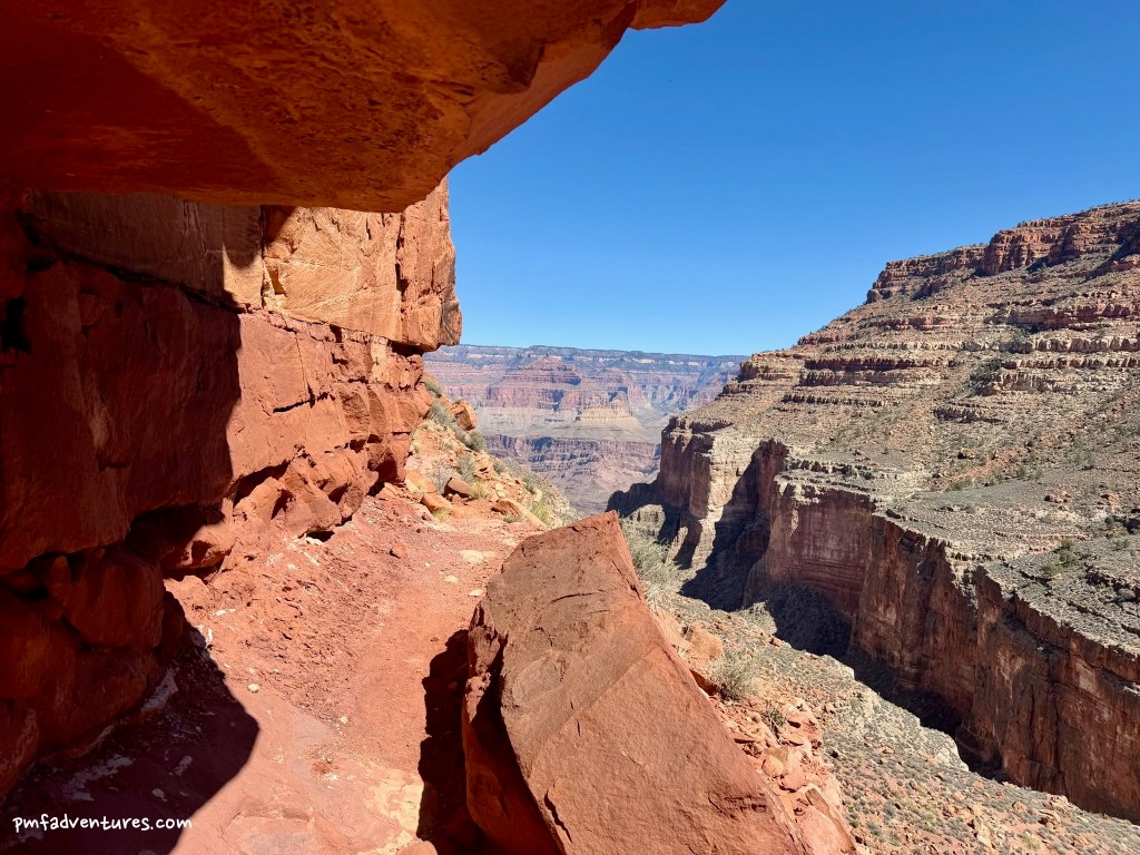
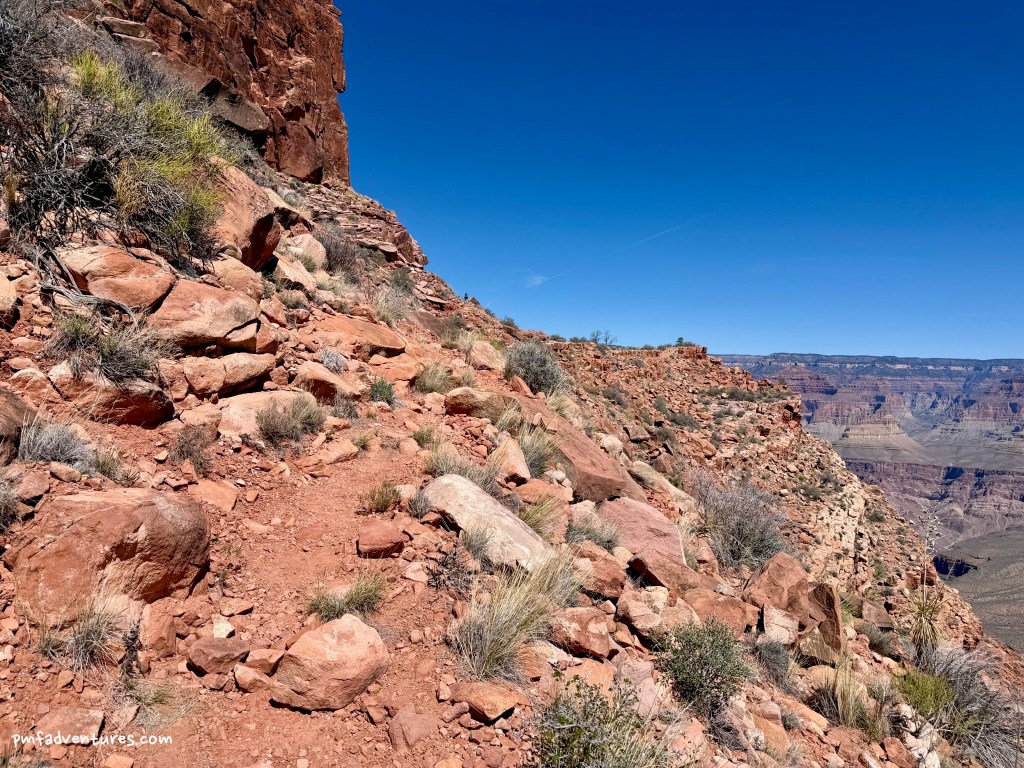
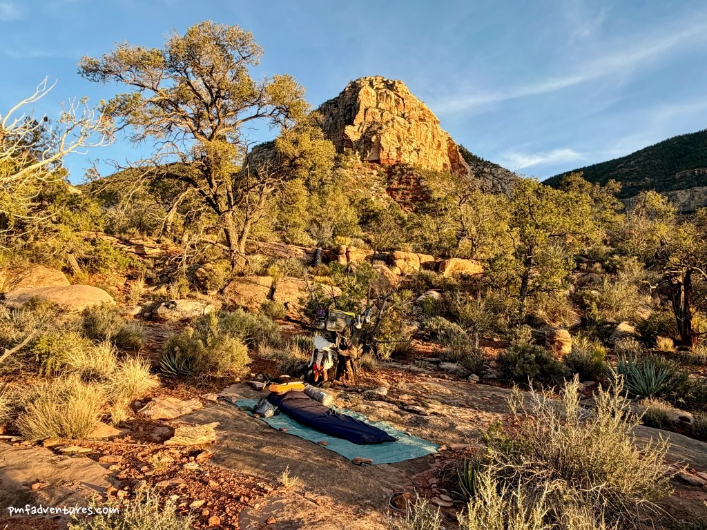
Day 5 (3/14/2026) – Slate Creek to Turquoise Creek: Our hike from Slate Creek to Turquoise Creek was our longest day yet, with just over nine miles of rugged walking as we hiked out of Slate, into and out of Agate, into and out of Sapphire, and finally up into Turquoise. Since we weren’t sure what we were going to find for water, we were all carrying enough for the hike plus a bit extra for when we got to camp. It was also supposed to be the hottest day yet, with temperatures in the mid-80s, but fortunately there were some high clouds for most of the morning that kept it a bit cooler. It was a challenging hike into Agate, with lots of cactus dodging, and I was thankful when we got there and found a bit of shade for our snack break. I was carrying 5 1/2 liters of water — 5 to drink and 1/2 to be able to wet my shirt a few times, so I took advantage of that as we left Agate. The walk to Sapphire was a bit easier and when we got there we were happy to find a small pothole and a little bit of flowing water where we could all wet our shirts. It was a long grind up Turquoise Canyon in the afternoon sun and I definitely struggled — my pack was heavy, I was dehydrated from the previous afternoon’s adventure, and I hadn’t slept well either. When we finally arrived at Turquoise, I was relieved to learn that we wouldn’t have to go far to get water, with good potholes above and below the trail crossing. I set up camp on a nice ledge, filled all my water containers, and then spent the evening by myself, trying to recharge by drinking lots of water and getting to bed super early.
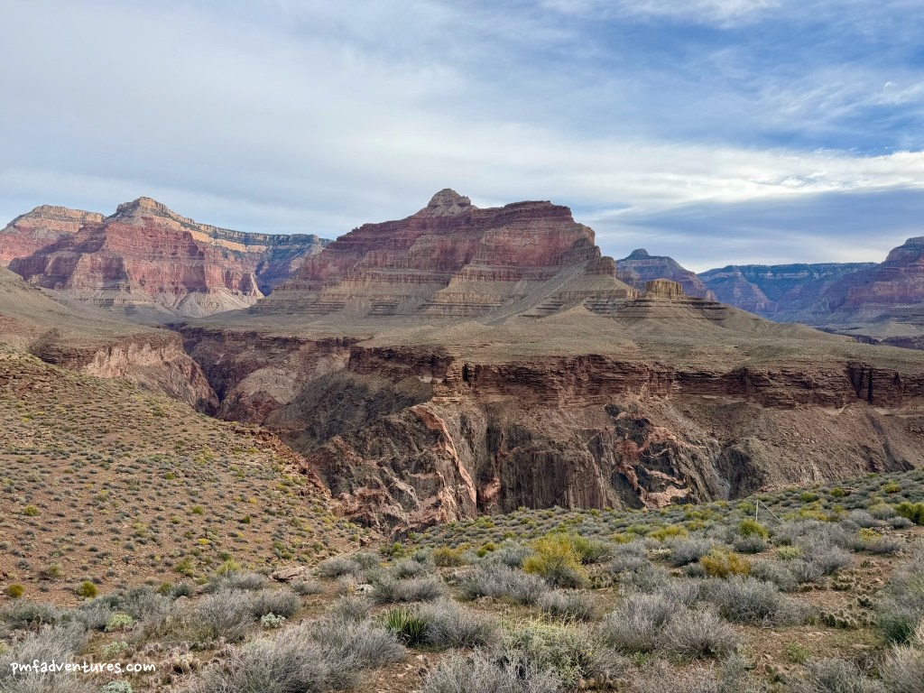
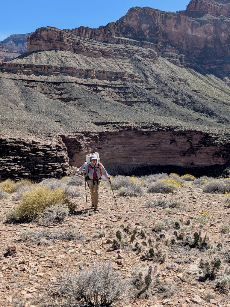
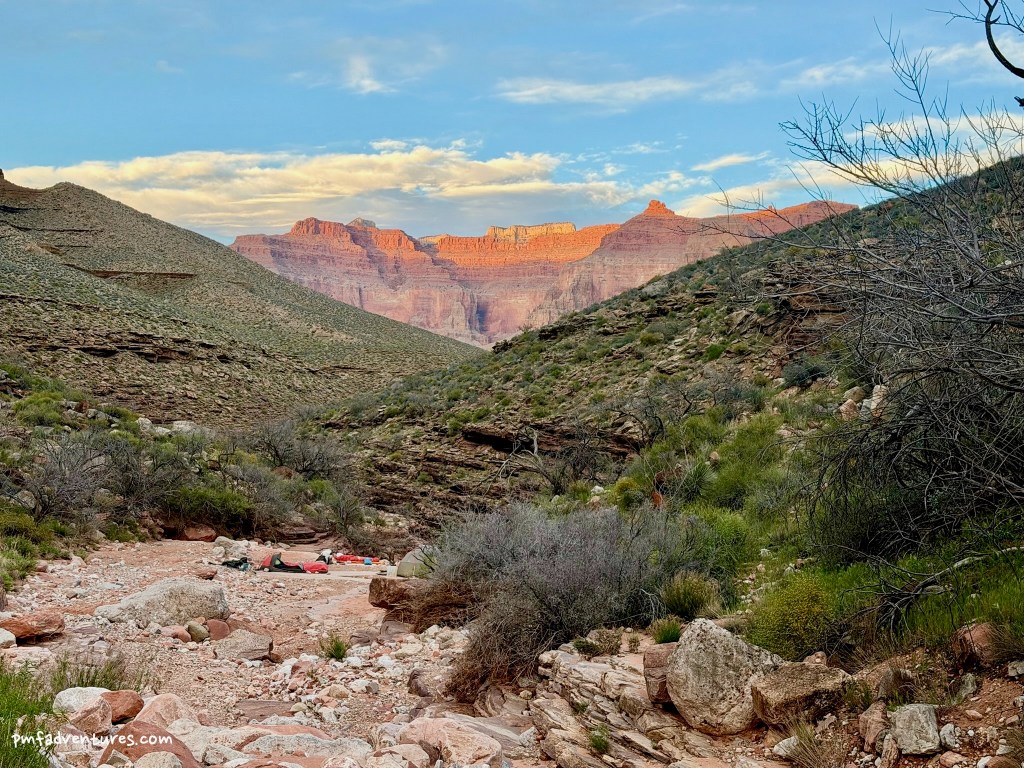
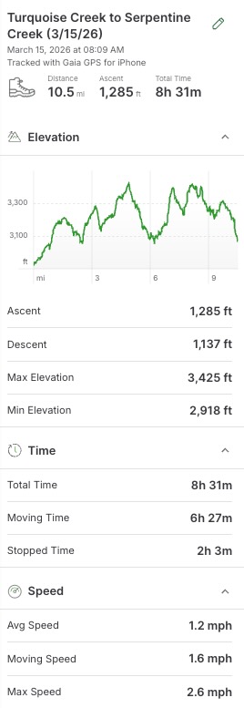
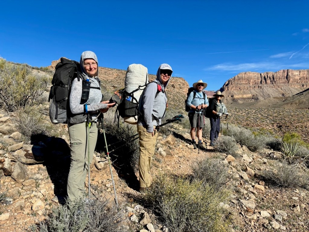
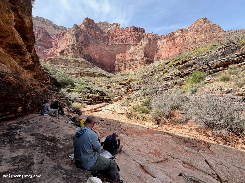
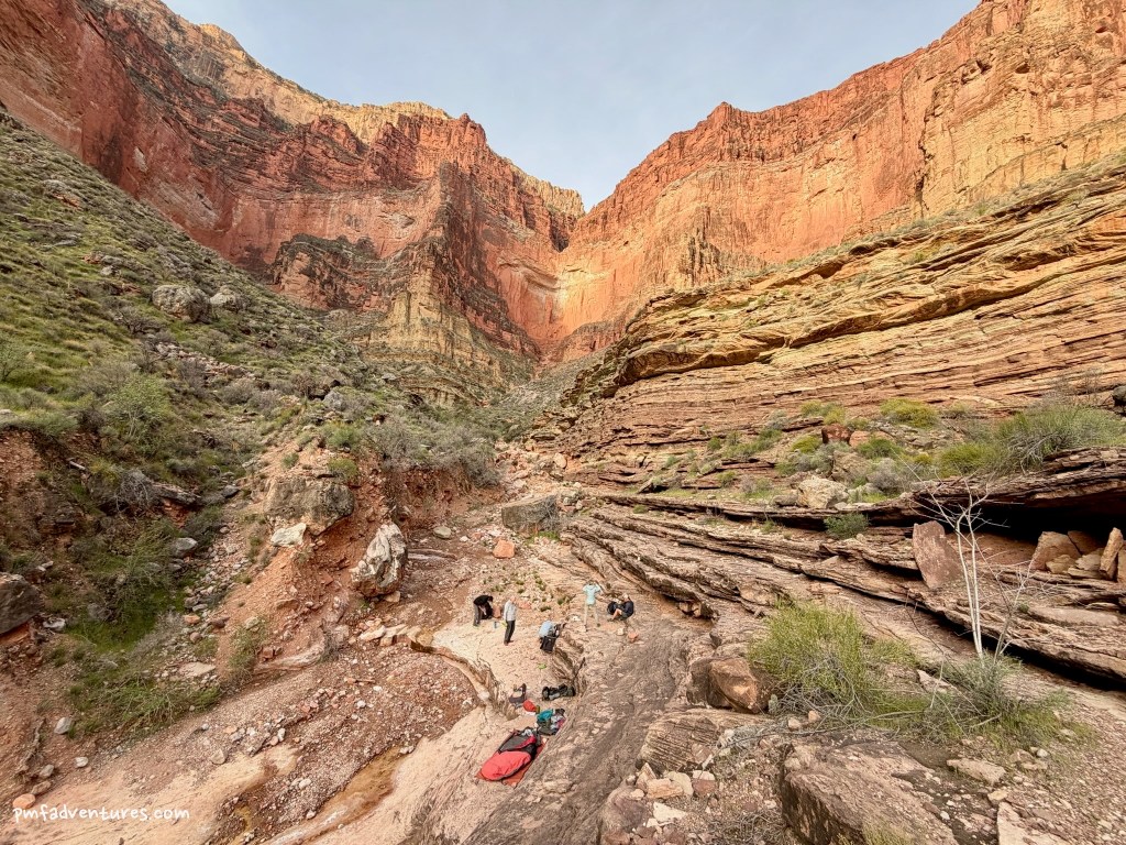
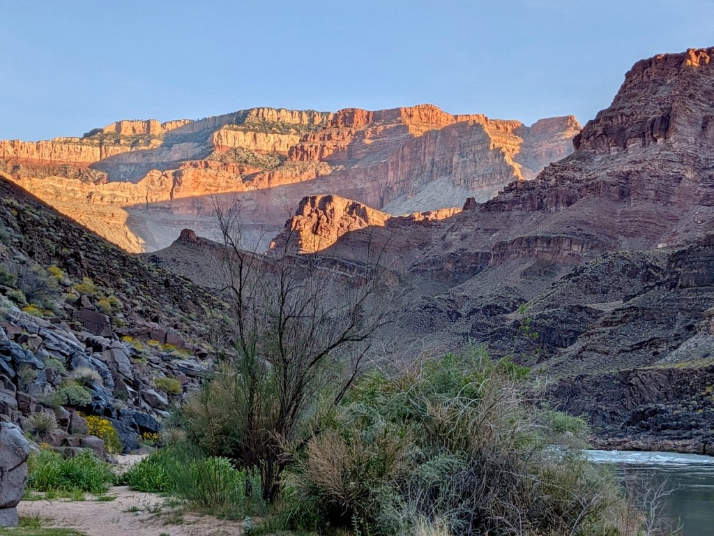
Day 6 (3/15/2026) – Turquoise Creek to Serpentine Creek: This was our longest day of the trip, at 10.5 miles, but fortunately it was also cooler (mid-70s) and we had a nice breeze for much of the day. It was also the day we were most concerned about water. We weren’t sure if there would be any along the way and we didn’t know what we might find when we arrived at Serpentine. Last year, they had to dig some holes in wet gravel to create pools and then wait and allow water to fill the pools. And failing that, we could always hike down Serpentine Creek to the river. With the uncertainty, we were all carrying even more water than the day before — I had 7 liters so that I could keep hydrating after getting to camp and make it through dinner if necessary. The good news is that I felt much better than the day before — it was a long day and it certainly wasn’t easy, but I didn’t feel like I was struggling. The long traverse into Ruby Canyon was annoying with all its ins and outs, but the reward was that we found some nice shady ledges for lunch. We did see one small pothole with water in Ruby, but I suspect it was dry within a few days. After we left Ruby, we were in the shade for much of the rest of the afternoon and we made good time, getting to Serpentine before 5. And luck was shining on us with regards to water, as there were a couple of small pools that were being continually replenished by seeps, so we had all the water we needed without any extra work required.
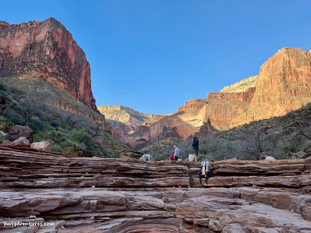
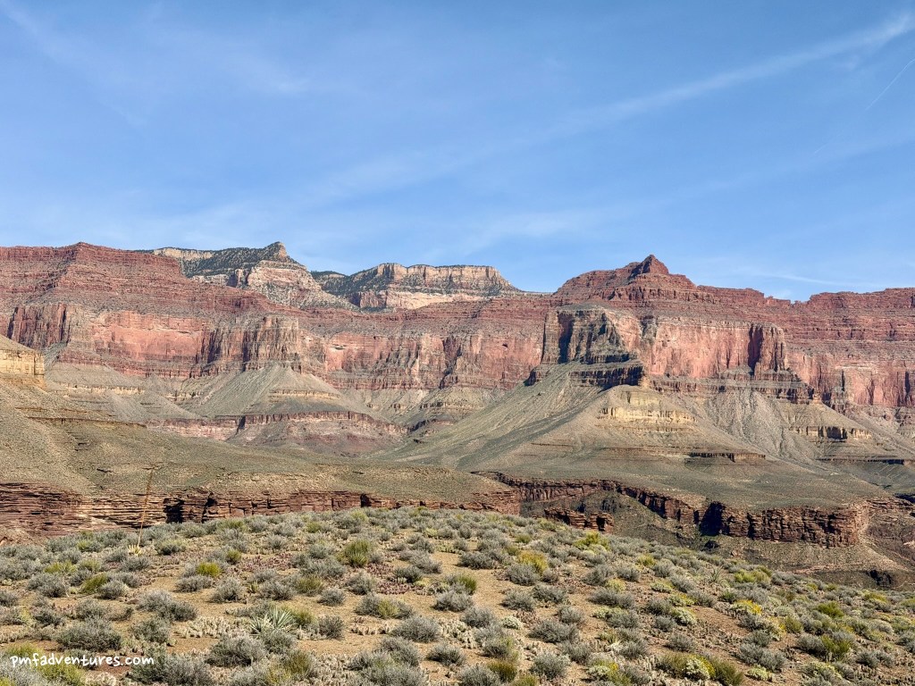
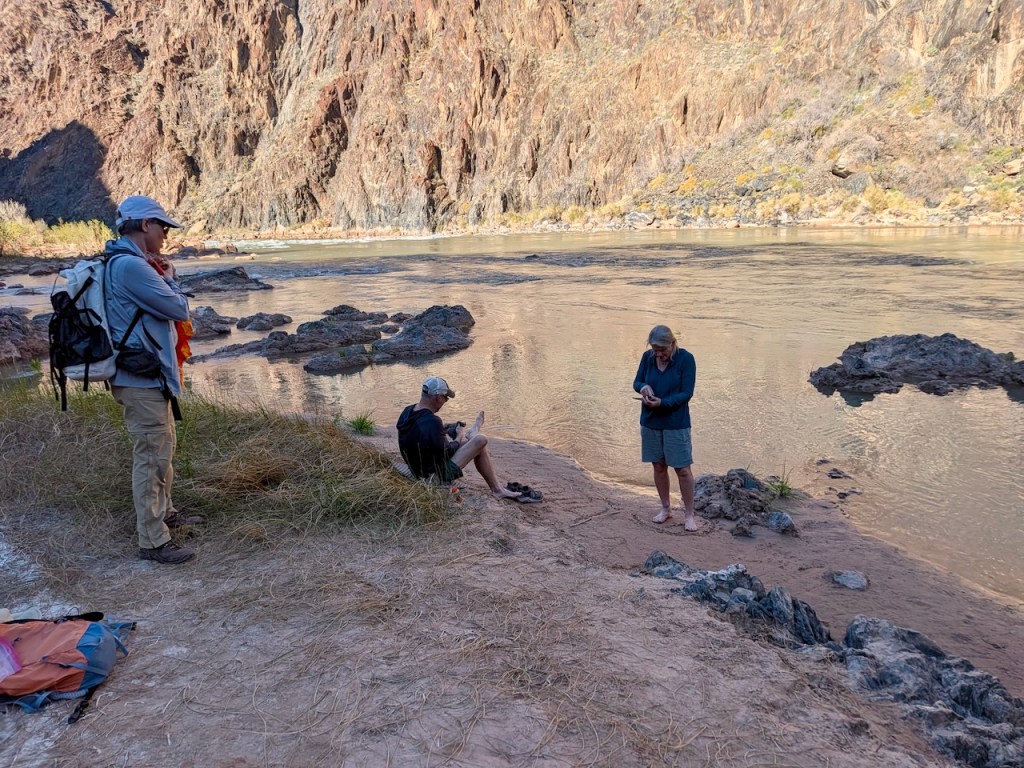
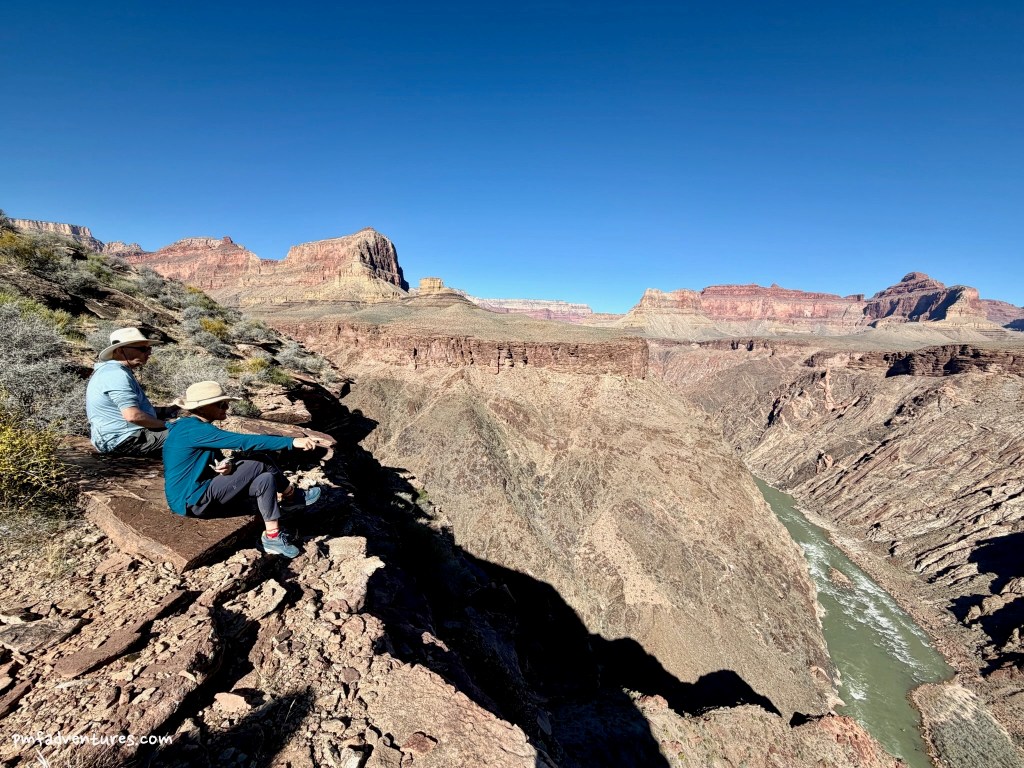
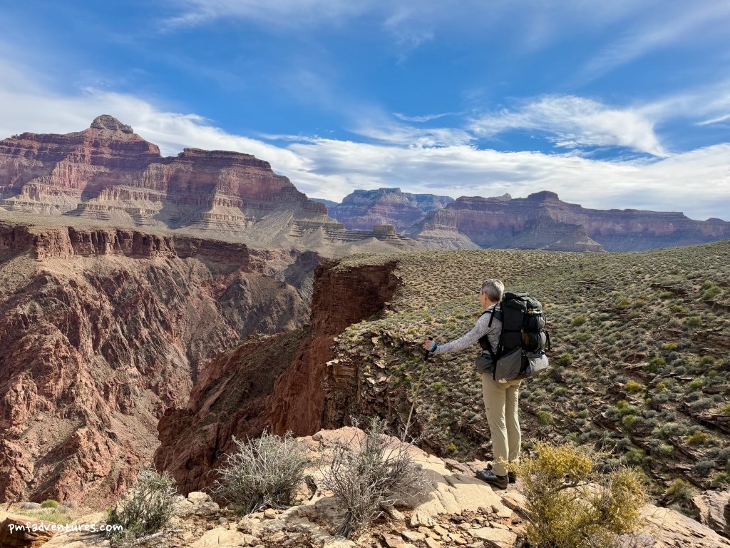
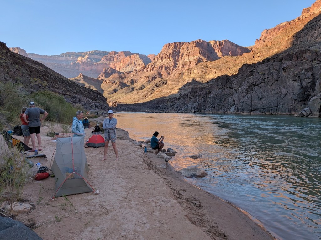
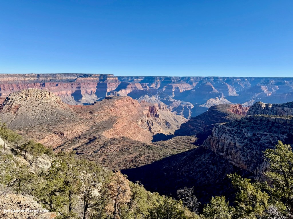
Day 7 (3/16/2026) – Serpentine Creek to South Bass Trail to Bass Rapids: This was a delightful day and my favorite on the trip. We only had to cover about five and a half miles — three and half on the Tonto Trail, then two on the South Bass Trail down to the river — and we didn’t need to carry any extra water. It was a bit of a grind to get out of Serpentine Canyon, but we were rewarded with great views of the river. Then we headed around the Grand Scenic Divide and into Bass Canyon, and after a total of 34+ miles over 5 days, we were done with the Tonto! The hike down the South Bass Trail was full of cool geology, with crazy folded layers and great exposures of the Grand Canyon Supergroup. We arrived at the river around 12:30 and enjoyed a wonderfully lazy afternoon, cooling off in the water, rinsing clothes and just relaxing.
Day 8 (3/17/2026) – South Bass Trail from Bass Rapids to the Esplanade: Now we had to start climbing out of the canyon. We were planning to spend the night at a dry camp on the Esplanade, so that meant we needed to carry enough water for this hike, for what we needed at camp for dinner and breakfast, and for the hike out to our pick up location the next day. I ended up carrying 11 liters (~24 pounds), so even though I had eaten a lot of my food, my pack was still heavier than on the day that we started. But I will happily carry a heavy pack uphill over downhill anytime!
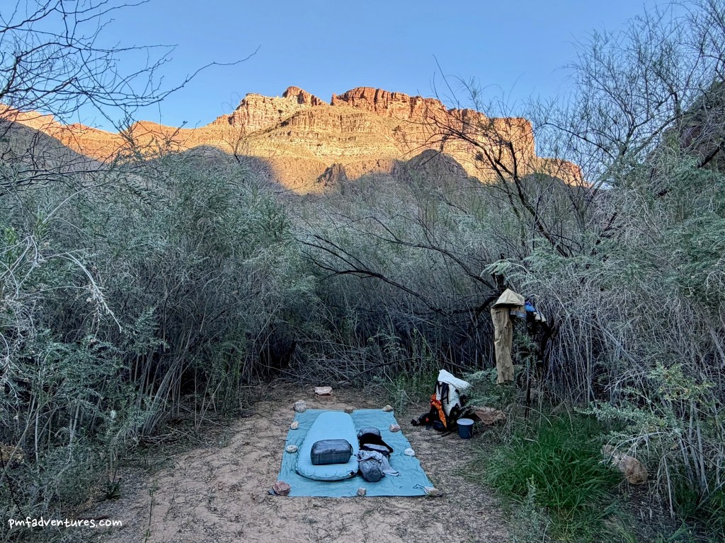
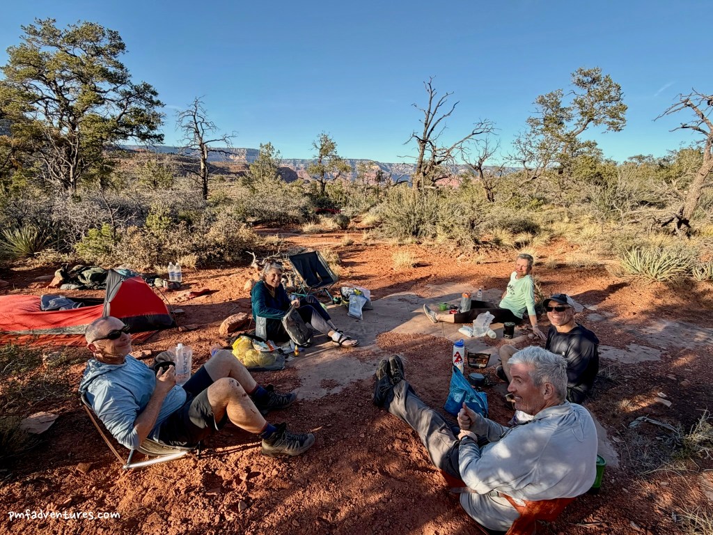
It’s just over five miles and 3,300 feet from the river to the Esplanade on the South Bass Trail and the grade is pretty consistent, so we knew the day was going to be a steady grind. We were in the shade until about 11 AM, so the first few miles didn’t feel too bad. The sun hit the trail about the time we started going through the Redwall, but unlike most other trails in the Grand Canyon, getting through the Redwall on the South Bass wasn’t that challenging. Getting through the Supai on a three-quarter mile long traverse through ascending ledges with lots of big steps was the real butt kicker. But it was also amazing to think about what it took for William Bass to build this trail back in the 1880s and 1890s. We got to the Esplanade about 1 PM and enjoyed a lengthy lunch break under a convenient pinyon pine. Then we walked a blissfully flat mile to the junction of the Royal Arch Route and the South Bass Trail and set up camp. This was my first experience of being on the Esplanade in the Grand Canyon and it was a spectacular location for the last night of our trip.
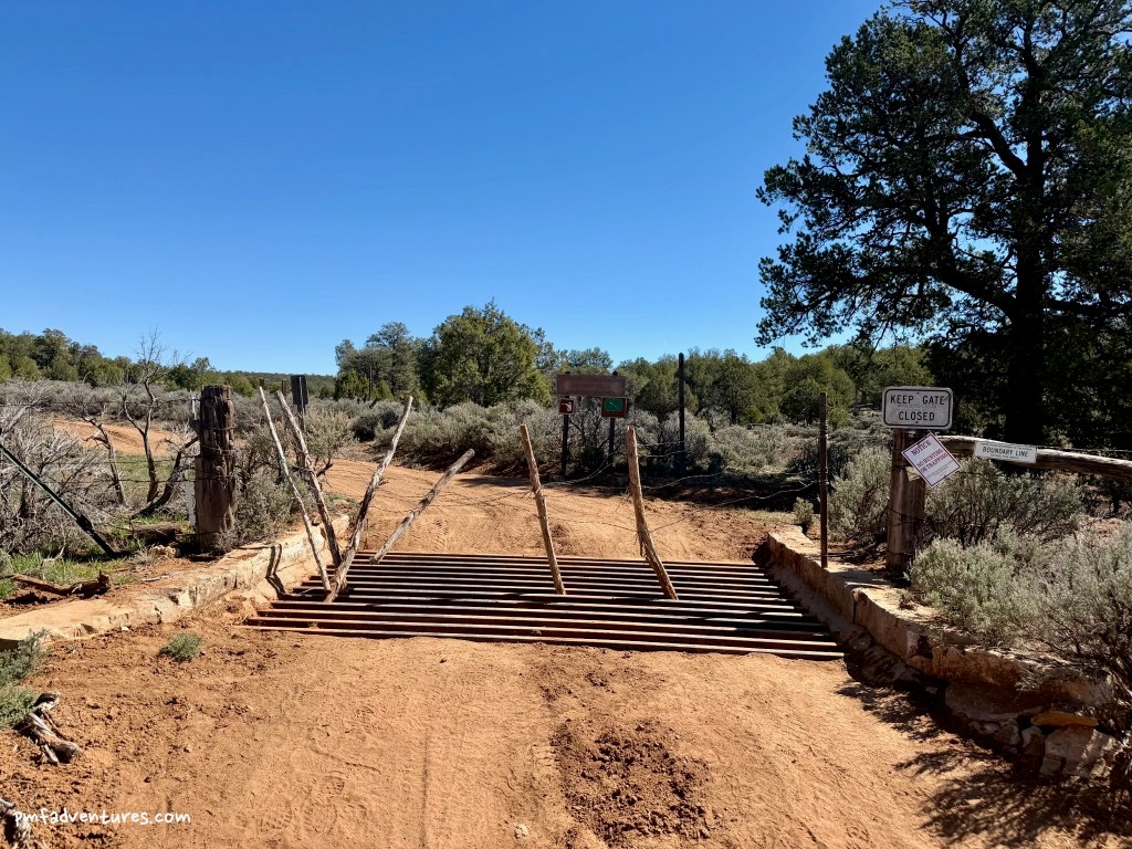
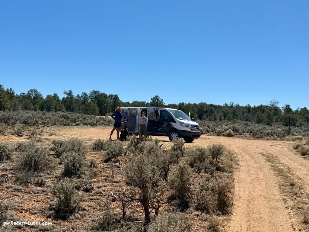
Day 9 (3/18/2026) – Esplanade to South Bass Trailhead / Trailhead to Havasupai Gate: On our last day, we had to climb about 1,110 feet over a mile and third to get from the Esplanade to the South Bass Trailhead. And then because there are no legal open roads to the trailhead, we had to walk an additional seven miles to where we would be picked up on Forest Service Road 328 near the Havasupai gate. We got an early start, so the hike to the trailhead was in the shade until almost the very top. After a quick break at the trailhead for some celebratory photos, we started walking. And we kept on walking, mostly downhill, but also mostly in the sun. We finally caught sight of the van just before 12:30 and were thrilled to enjoy the cold drinks and sweet and salty snacks that Paetyn had brought along for our drive back to Grand Canyon Village.
Recap: Hiking the western Tonto Trail from Hermit to South Bass was an amazing trip, but also one of the most challenging I’ve done. My pack was the heaviest I’ve carried over rugged terrain for that length of time, and the added stress of what we’d find for water and the abnormal heat for mid-March made it even more challenging. On Day 8, when we got to the Esplanade, Christa asked who wanted to do a side hike up Mount Huethawali. That’s when I knew I was mentally and physically tired, as I’m always up for side excursions, and I opted out of this one to save my energy for the last day.
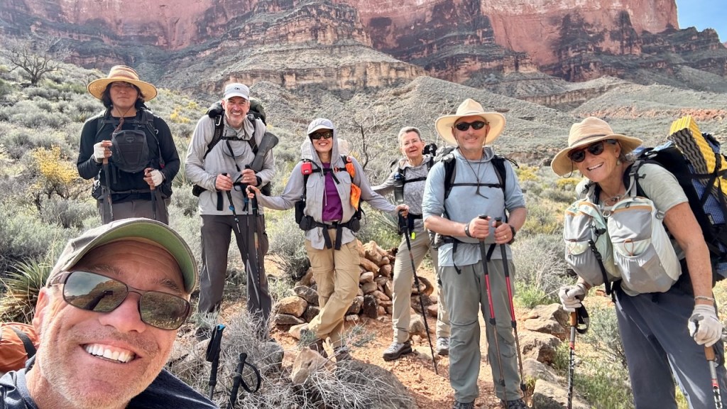
Thankfully, we had a great group that was very well matched in terms of ability and personality. And our guides, Christa Sadler and John Begay, were phenomenal. We learned so much about the geology and history of the canyon, and John also taught us about the Dine culture and language. If you are looking to do a trip in the Grand Canyon that is out of your comfort zone, you can’t go wrong with the Grand Canyon Conservancy Field Institute.
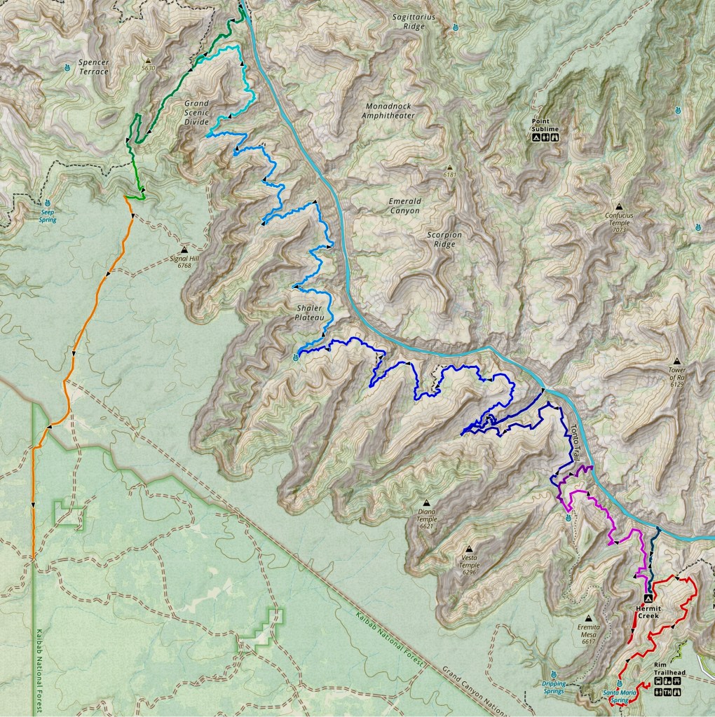
Here is an image of our route, plus the various side hikes. And in case you might think the Tonto Trail is flat, I’ve also included the profile from our longest day, from Turquoise Creek to Serpentine Creek.