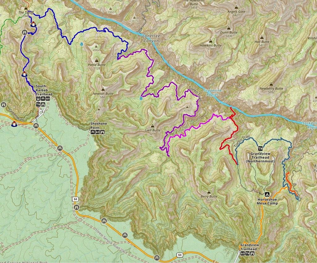
In the spring of 2025, I did a solo backpack on the Tonto Trail in the Grand Canyon. I had a permit for five nights below the rim, starting at the Grandview Trailhead, hiking down the Grandview Trail to Horseshoe Mesa and dropping down the Hance Creek Trail to Hance Creek, then traversing the Tonto Trail west for 28+ miles to the South Kaibab Trail.
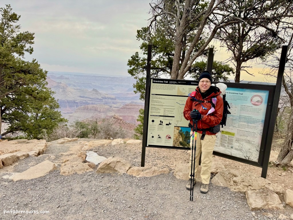
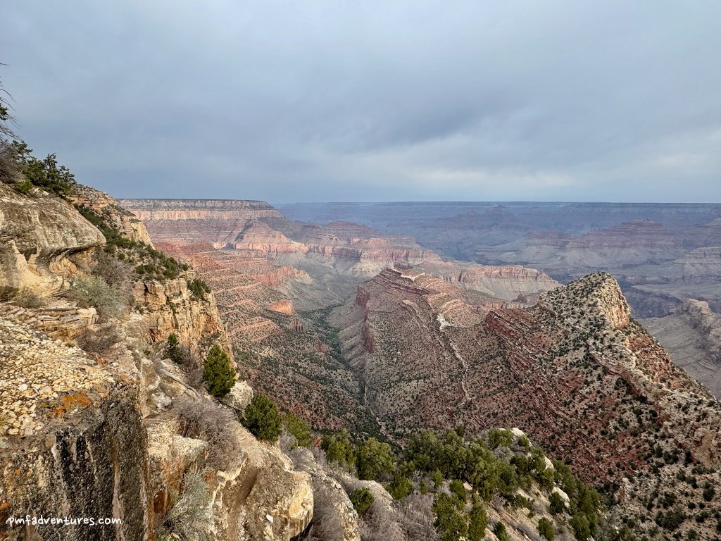
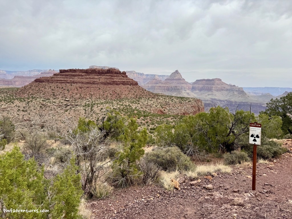
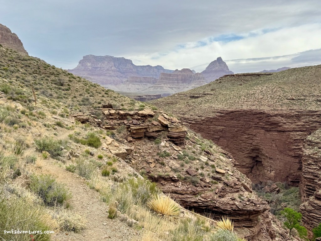
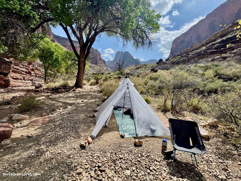
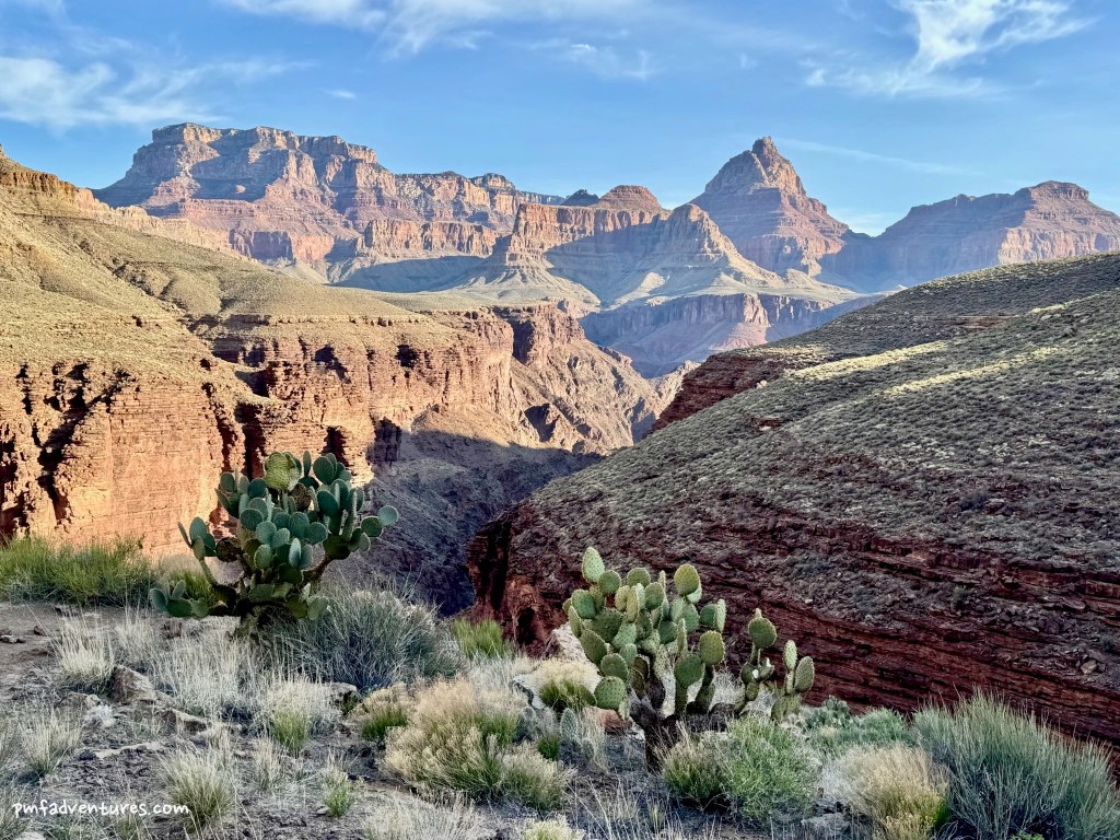
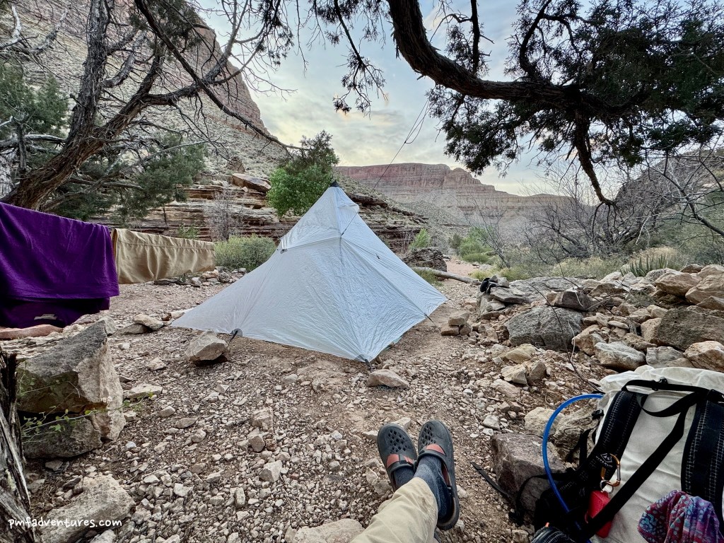
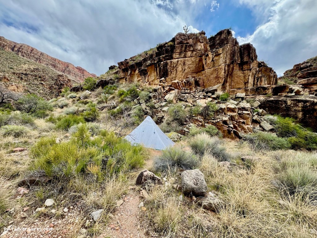
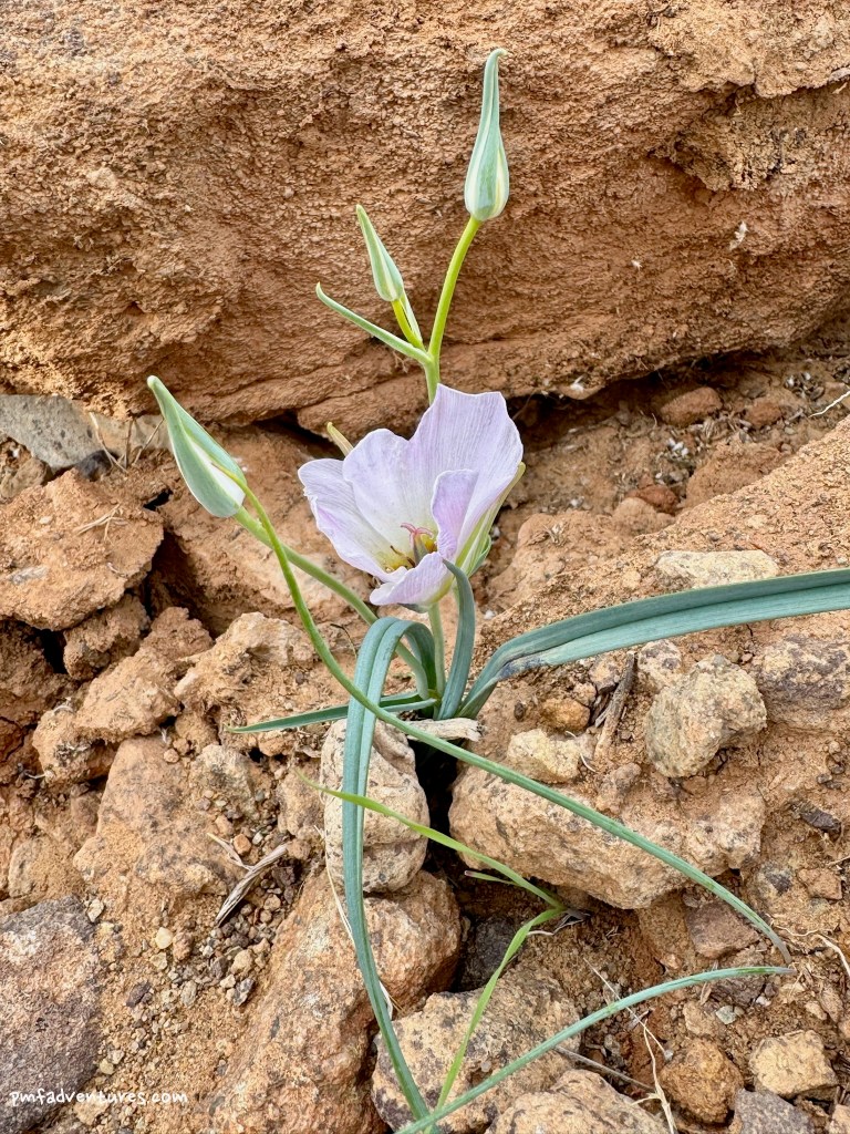
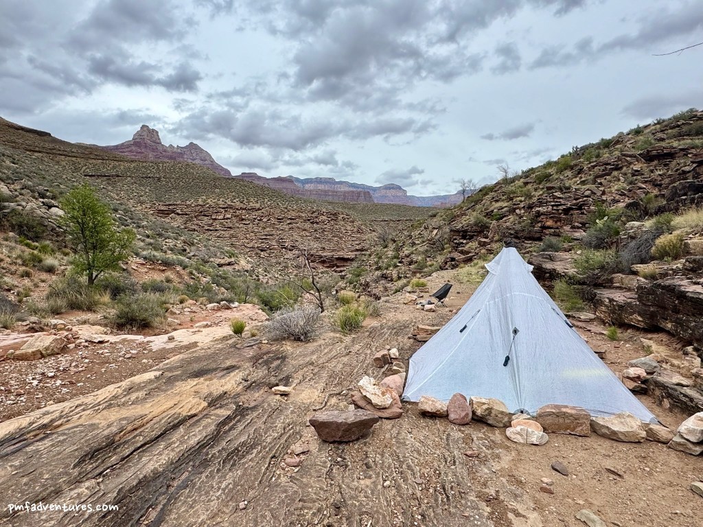
3/30/2025 – Grandview Trailhead to Hance Creek: I started at the Grandview Trailhead just after 7 AM, on a cloudy and windy morning. When I hiked up the Grandview Trail back in November 2023 at the end of my Tanner to Grandview trip, I remember thinking that even though it was a grind to go up the trail, I would prefer going up it rather than down it. And now that I’ve gone down the Grandview, I can confirm that opinion. The endless riprap was steep and slippery with dust, so I had to be careful with every step, especially with my fully loaded pack. And the descent of the Hance Creek Trail down to the mine was even worse, very steep with lots of loose rocks. I was very thankful when the trail leveled out as I approached Hance Creek and I could relax and enjoy the last bit of the hike. I got to camp just before noon, after 4.4 miles and 3,700 feet of descending, and scored a great campsite down by the creek, with a huge cottonwood for some shade. It had been cloudy for most of my hike, but the sun came out just as I got to camp, so the shade was welcome. I spent a few hours messing with my new Ultamid shelter, figuring out how to set it up to best withstand the winds that were gusting through camp. Then I wandered down Hance Creek for about a mile and enjoyed seeing the transition from the Tapeats into the basement rocks of the canyon.
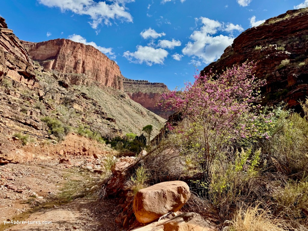
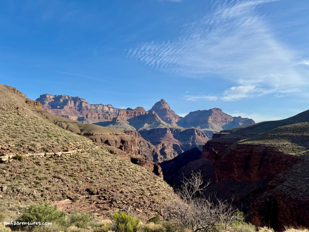
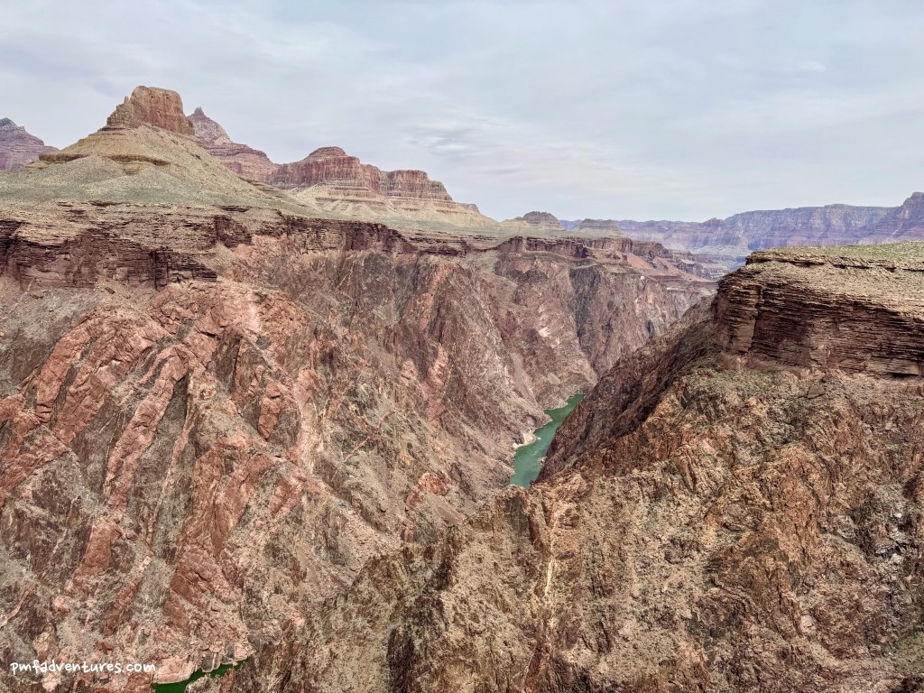
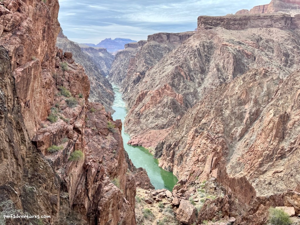
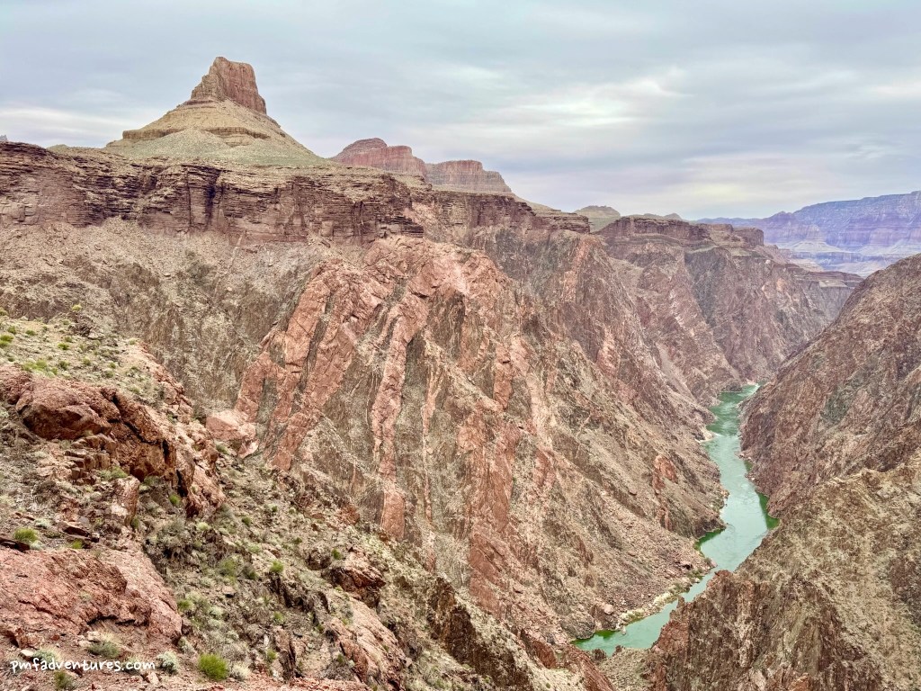
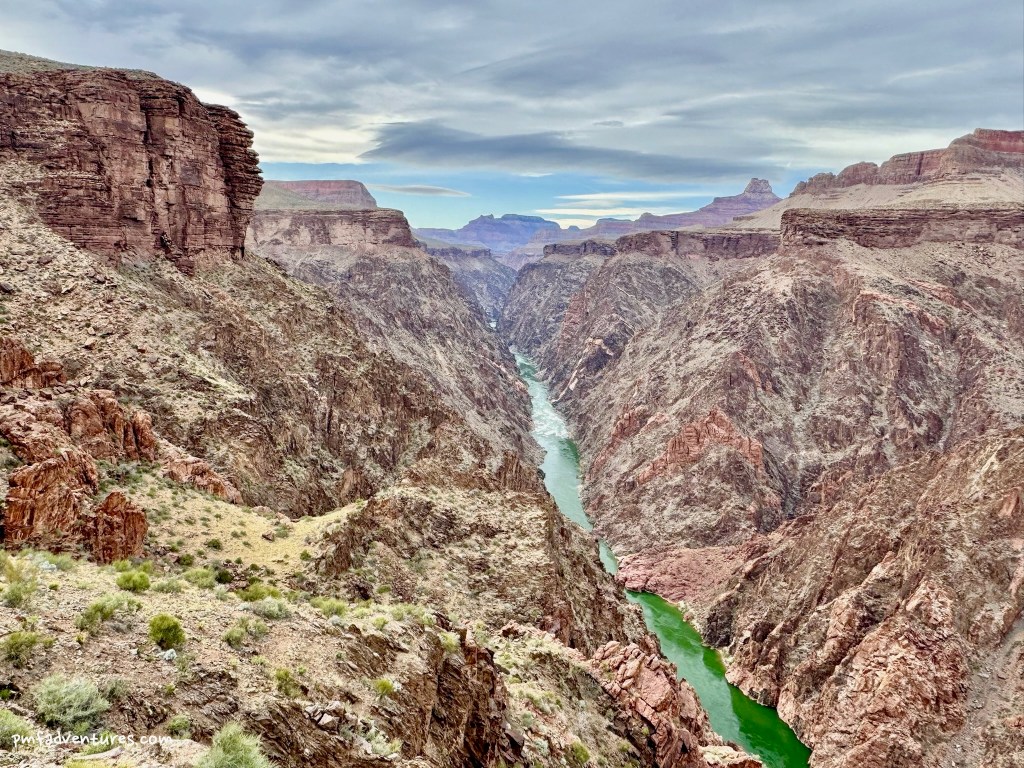
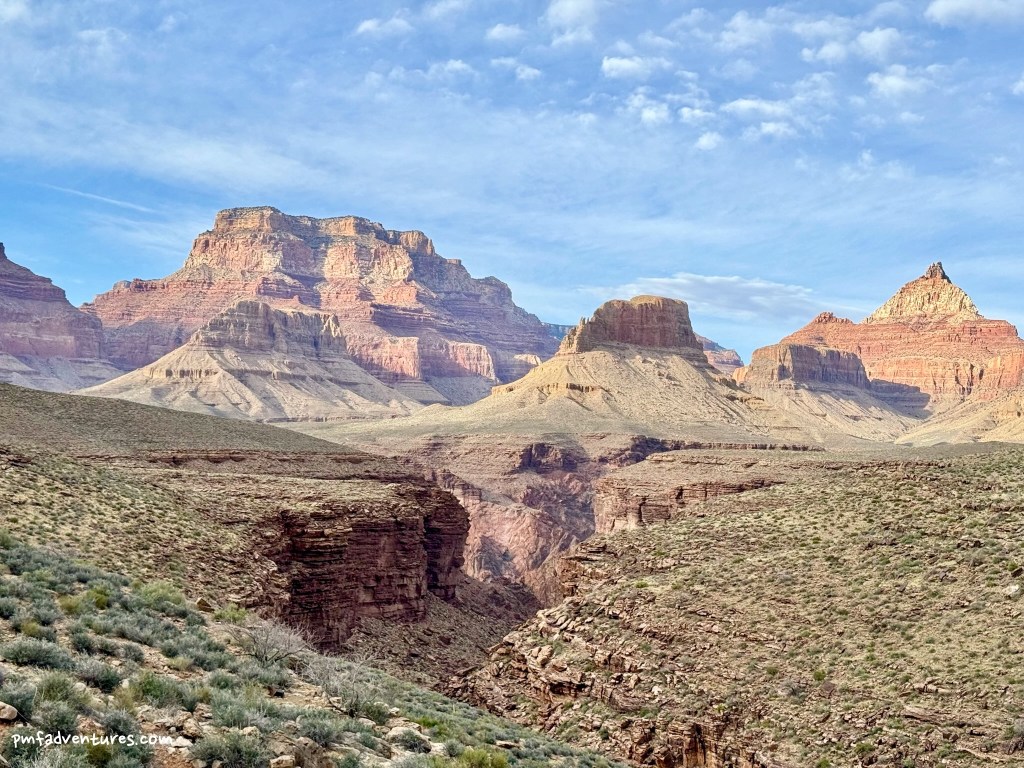
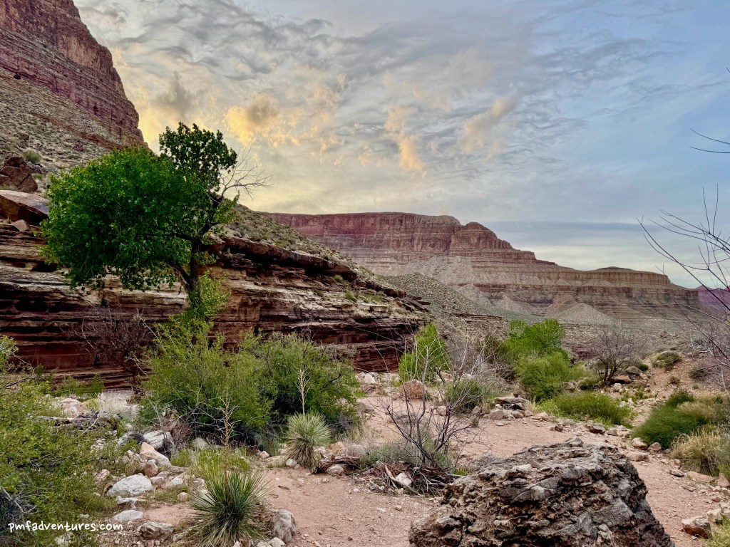
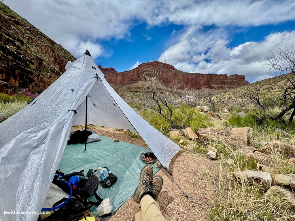
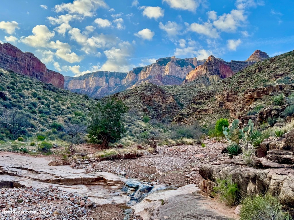
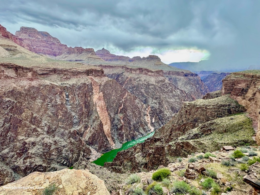
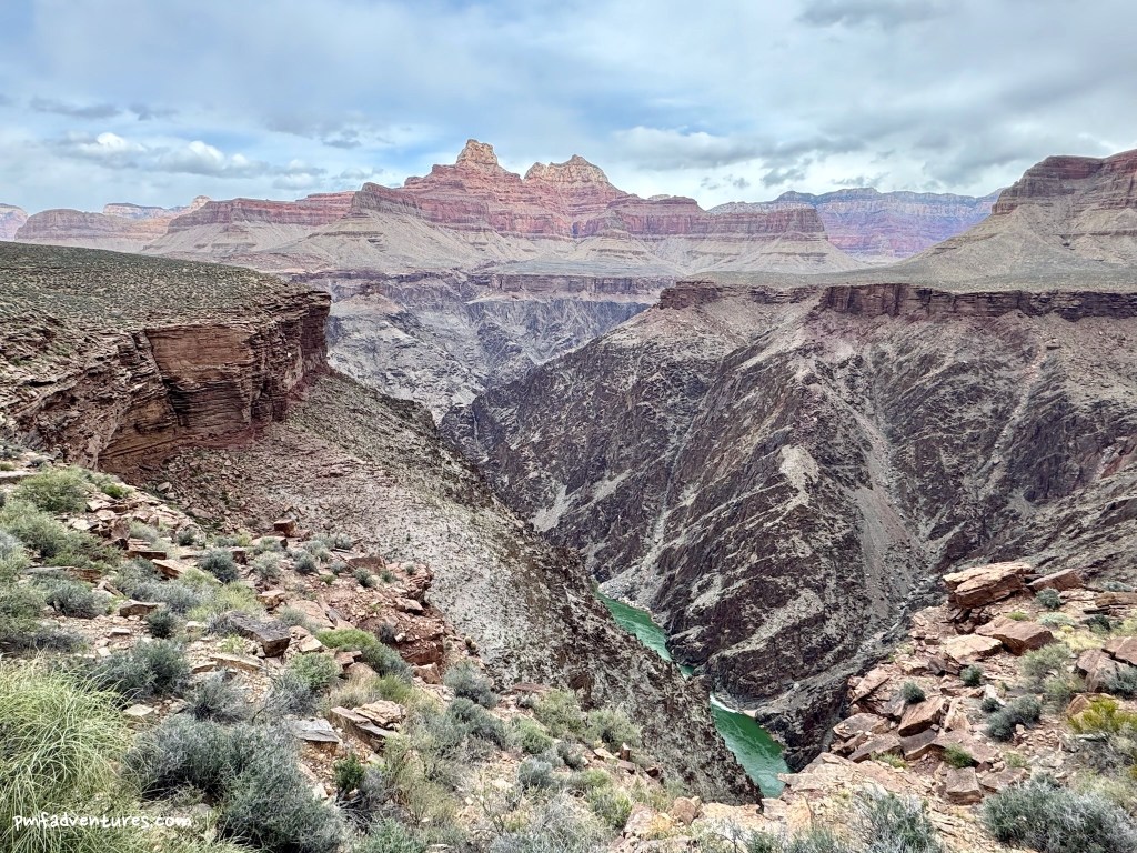
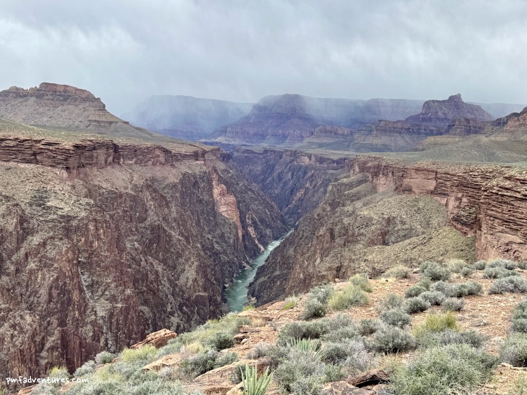
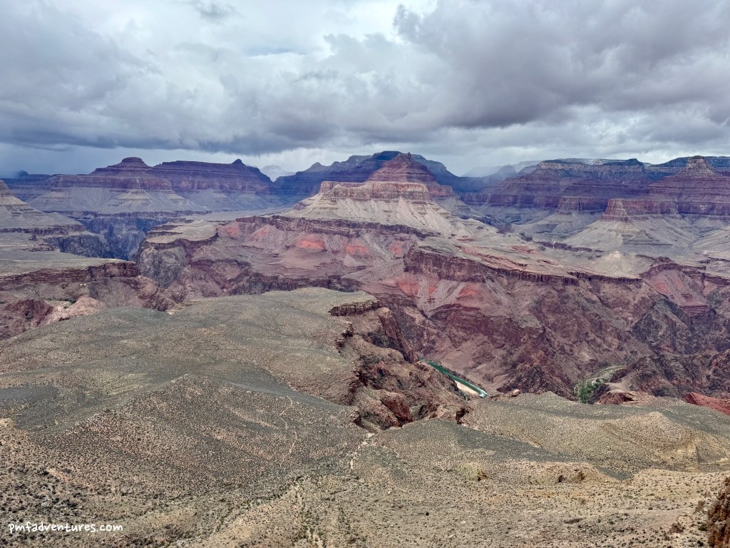
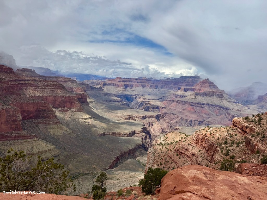
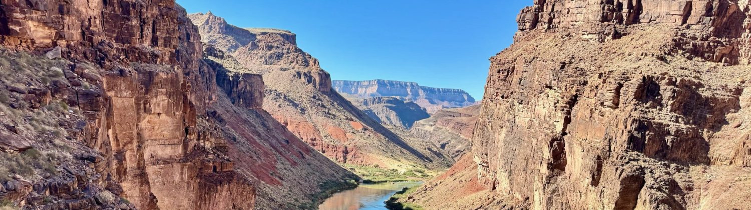
3/31/2025 – Hance Creek to Cottonwood Creek: Successfully traversing the eastern portion of the Tonto Trail is all about knowing where you can get water, which is why this trip is best done in the spring when there are more options. My second day was a short one, as I only needed to cover 5 miles from Hance Creek to Cottonwood Creek. According to the backcountry office, water was reported to be flowing right where the Tonto crosses Cottonwood Creek, so I was hoping that I wouldn’t need to detour up Cottonwood to find water. I arrived at Cottonwood just before 11 and I was relieved to see that there was water, so I got to work setting up the Ultamid to withstand another windy night. And then I headed further west on the Tonto Trail to try and find the Old Grandview Trail, which offers a way to get down to the river, dropping 1,300 feet in about a half of a mile. I found the cairn that marks the “trail” and then picked my way down a cool route through the Tapeats to a great view of the river in both directions. Below the Tapeats, the descent to the river was steep and scrabbly, and I’m not sure it was worth the effort, but I’ll count my first off-trail excursion in the canyon a success. Fortunately, coming back up was much easier and I made it back to camp in time to enjoy the evening light.
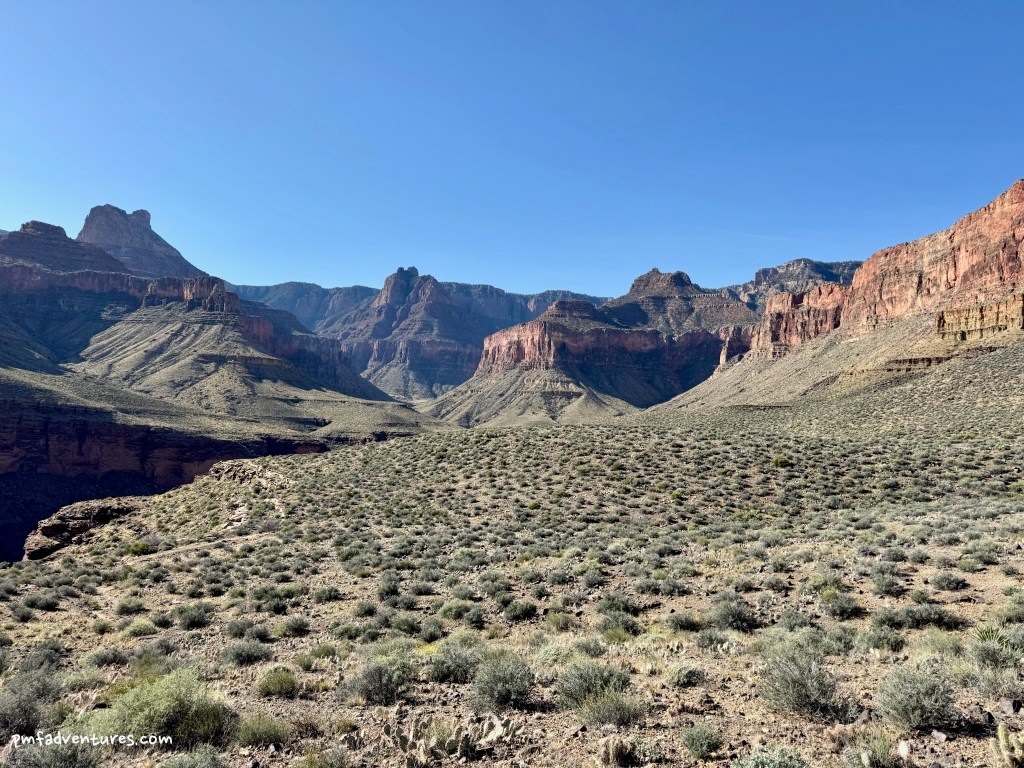
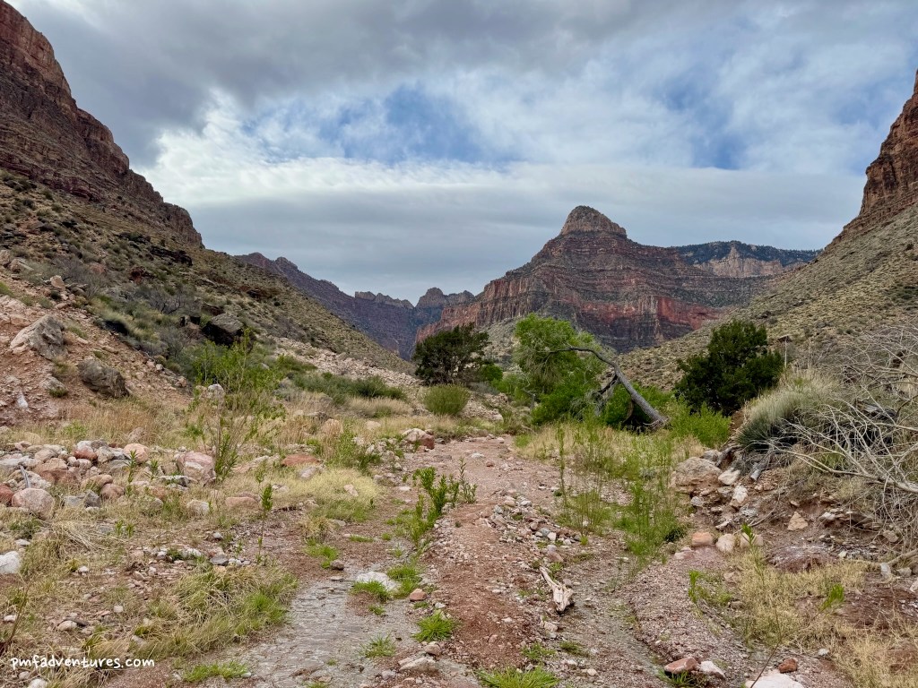
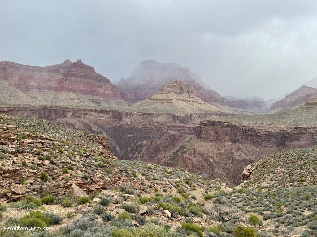
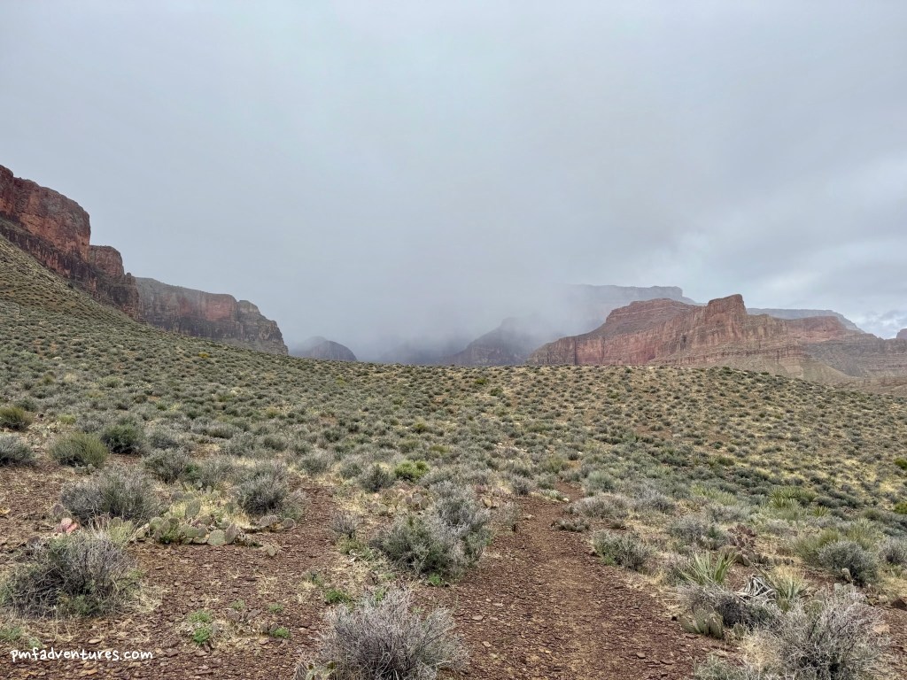
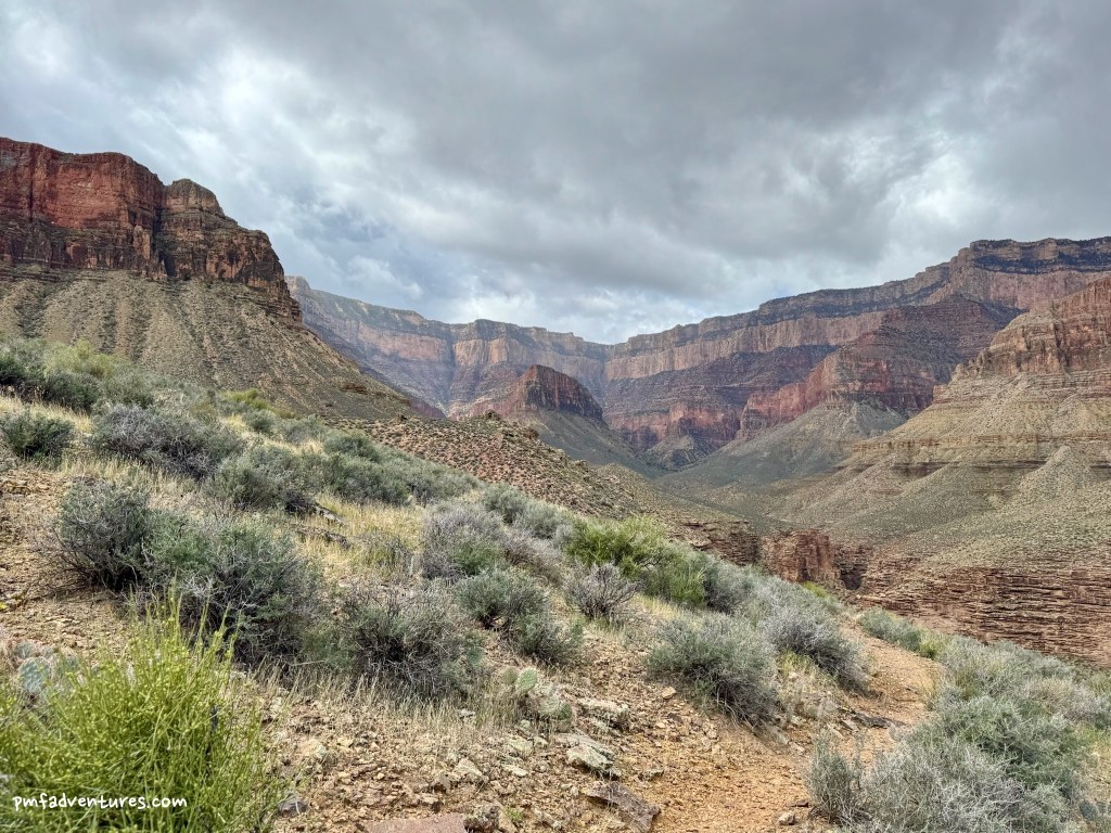
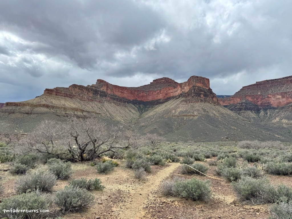
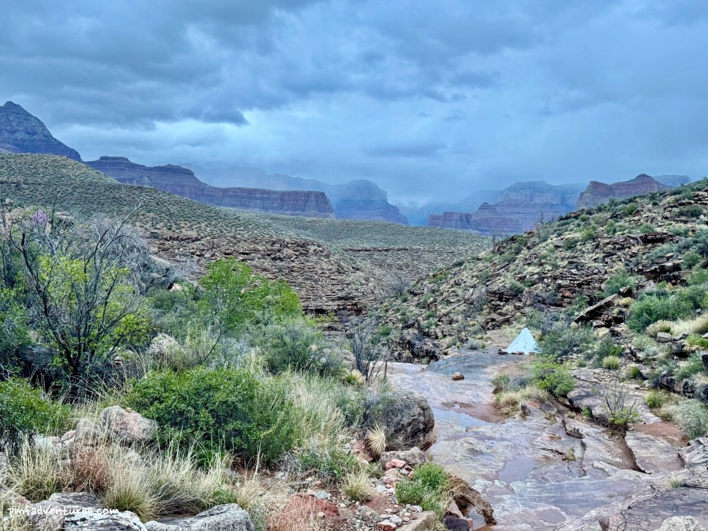
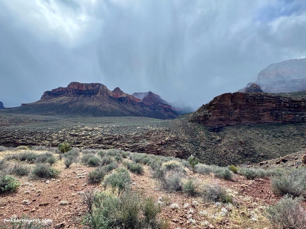
4/1/2025 – Cottonwood Creek to Grapevine Creek: The winds were gusting on and off all night, so I didn’t have a very restful night — there’s just something about wind blasts battering a tent that make it really hard to sleep. The wind died down in the early morning, but by the time I broke camp, the storm clouds were starting to swirl and gather. I only needed to cover about 5.5 miles to get to my next water source at the east arm of Grapevine Creek, so I was hoping to make it before the weather turned, but that was not meant to be. It started spitting as the Tonto turned to parallel the river at the end of the Cottonwood drainage, but when I turned up Grapevine I got hit with the full force of a nasty rainstorm blowing right in my face, so I backtracked to a sheltered draw and decided to wait it out. Fortunately, the storm didn’t linger and I was able to continue after about half an hour. Grapevine is a deep canyon, so this portion of the Tonto is a long contouring detour of about 2.5 miles away from the river, but it also has great views looking up towards the south rim. I arrived at the east arm of Grapevine just before noon and was happy to see a good flow of water before I wandered upstream to find a great secluded campsite below some small cliffs.
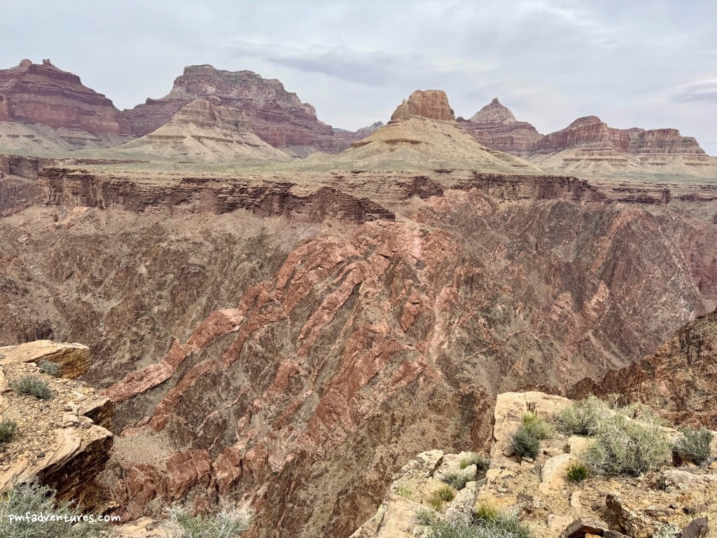
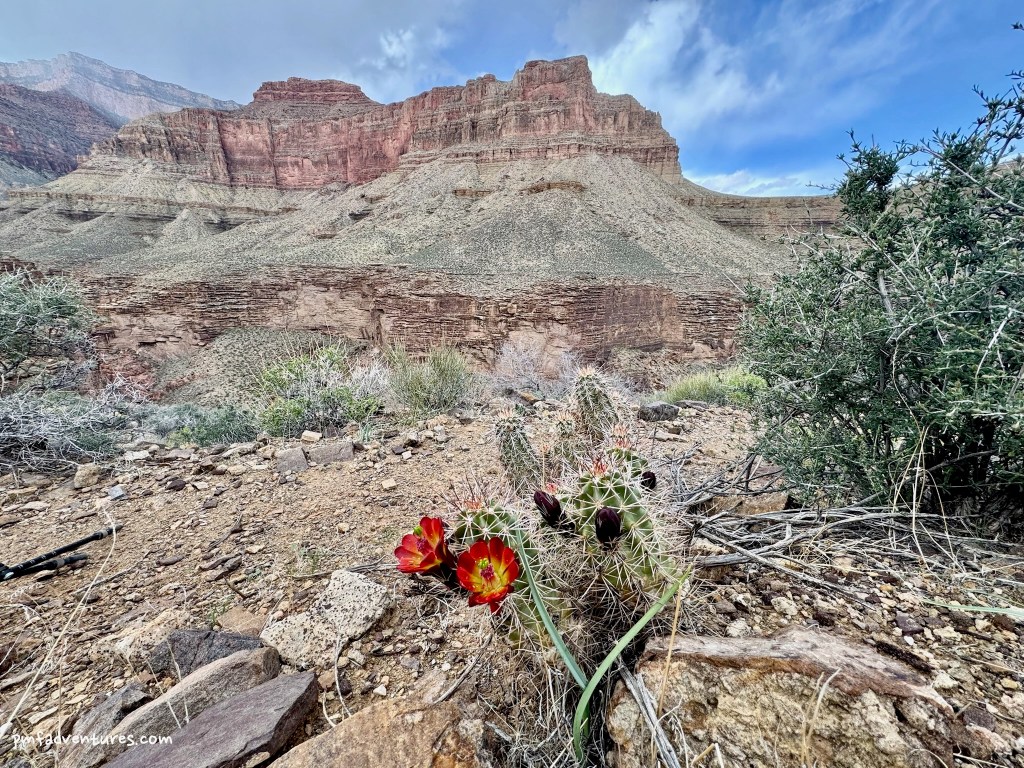
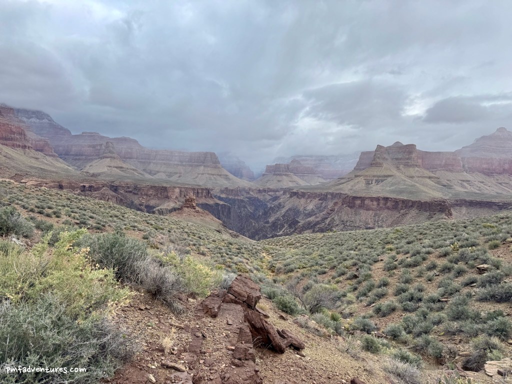
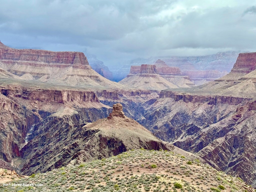
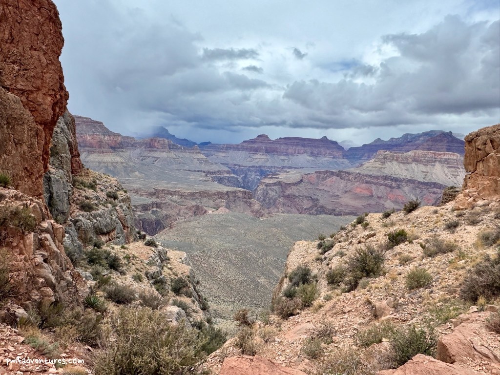
4/2/2025 – Grapevine Creek to Lonetree Creek: It was a blissfully quiet night and I awoke to beautiful blue skies at 5:30 AM. But I knew from checking the forecast on my Garmin that rainy weather was due to arrive in the early afternoon, so I packed up quickly and got on the trail by 7, as I needed to cover almost 9 miles to get to my next water source at Lonetree. As I was contouring back up the west side of Grapevine, I kept looking back over my shoulder and was amazed to see how quickly the clouds came in. Because Grapevine cuts so far up towards the rim, I think it grabs weather from the rim and pulls it down into the canyon. Amazingly, despite lots of swirling clouds, I managed to dodge all the storms as I contoured my way out of Grapevine, into and out of the Boulder Creek amphitheater, and into Lonetree Canyon. I arrived at Lonetree Creek around noon, found a nice campsite on a ledge above the creek, and got to work setting up rock anchors for the Ultamid. Thankfully, I had all the corners staked out when it started raining around 1, so was able to toss all my gear underneath, crawl under, and put up the center pole while the rain came down. After an hour of rain and graupel, the skies cleared for a few hours, and I was able to fill up all my water containers from a nice pool just below my campsite. The rain returned around 5, so I retreated back under the Ultamid for the rest of the evening, thankful that it is spacious enough to serve as both a tent and a cooking shelter.
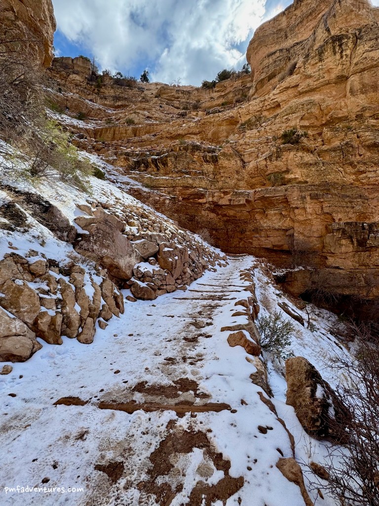
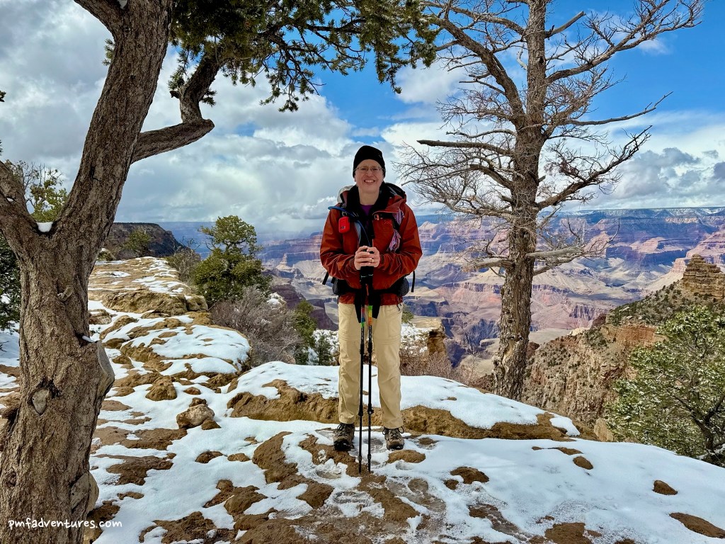
4/3/2025 – Lonetree Creek to South Kaibab Trailhead: My original plan had been to tank up on water at Lonetree and then travel about 4 miles to a dry camp at Cremation Creek, where I could explore the three different forks of the drainage. But the forecast called for more rainy weather on and off all day, so I decided to skip my fifth night out and just hike all the way out to the South Kaibab Trailhead. I was on the trail just after 7 and the first serious rain squall came through around 9, just as I was traversing the middle fork of Cremation. Uncharacteristically for the Tonto, the descents into middle and west Cremation are quite steep, and the rain made the descent into west Cremation nasty with wet, slippery conditions. The sun came out as I traversed the last bit of the Tonto and rejoined civilization at the Tipoff on the South Kaibab Trail around 11. I was actually surprised at how few people were there, probably due to the 3 inches of snow that fell on the South Rim overnight. It was really challenging to dress properly for the ascent, as it was sunny, then a snow squall came through while I was at Skeleton Point, then it got sunny again. The trail started getting sloppy with mud around Cedar Ridge, then slushy with snow after Ooh Aah Point, but no snow pack until the final switchbacks and thankfully no ice. I topped out around 2:30, covering almost ten miles and 3,900 feet of elevation gain in just over 7 hours.