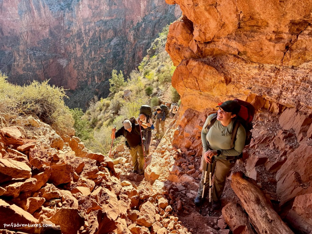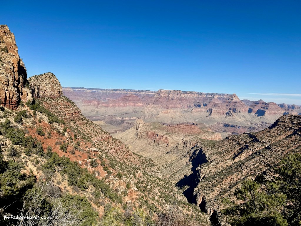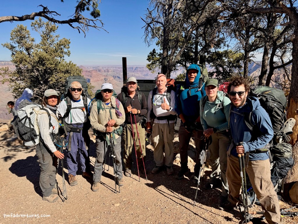
In November 2023, I did a five-day, four-night backpacking trip from Tanner to Grandview in the Grand Canyon with the Grand Canyon Conservancy Field Institute.
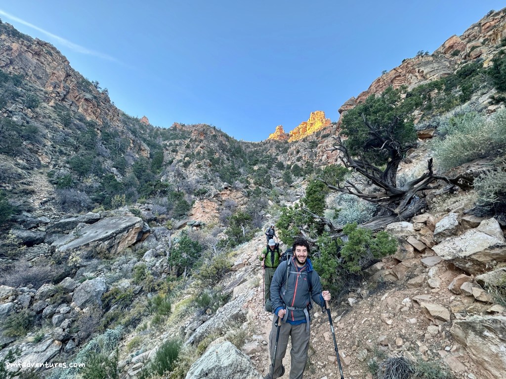
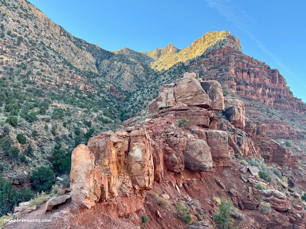
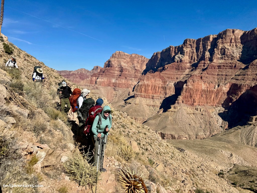
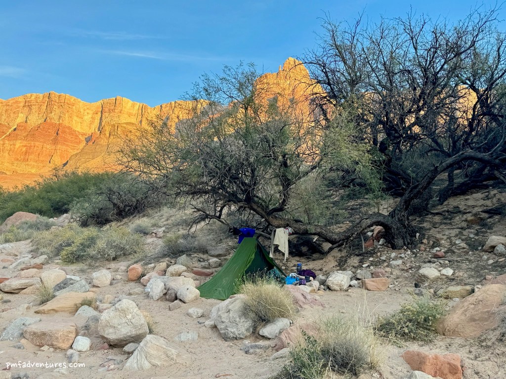
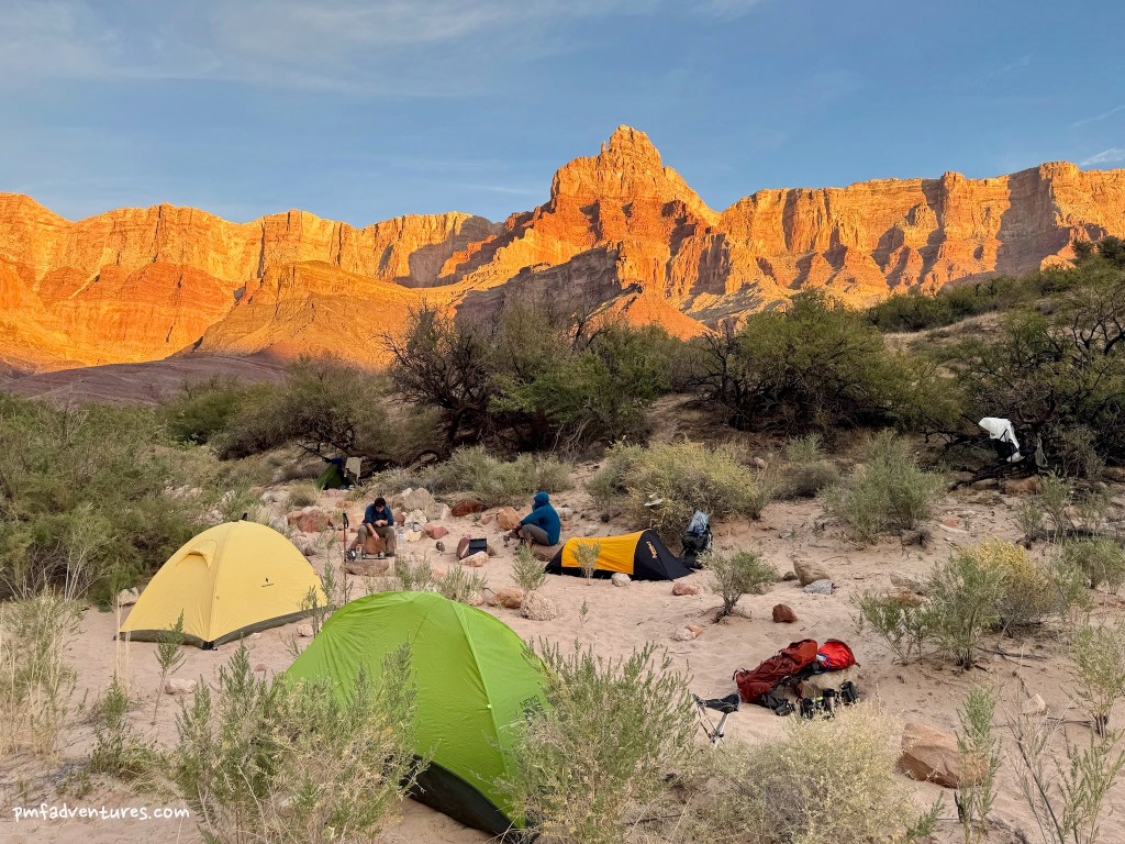
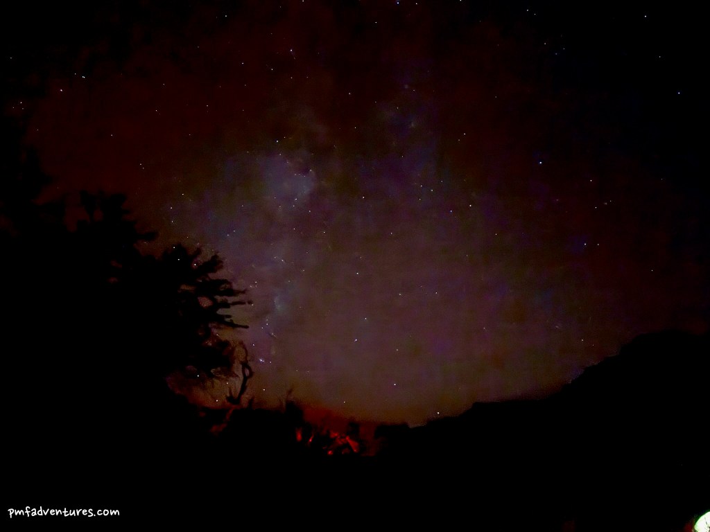
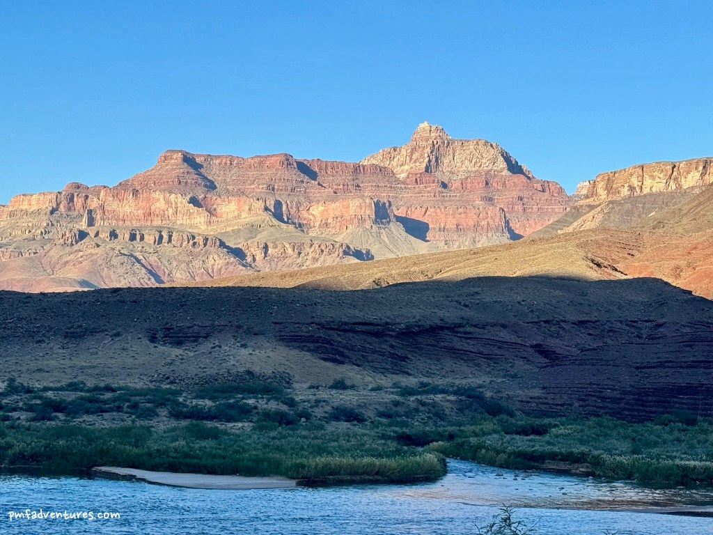
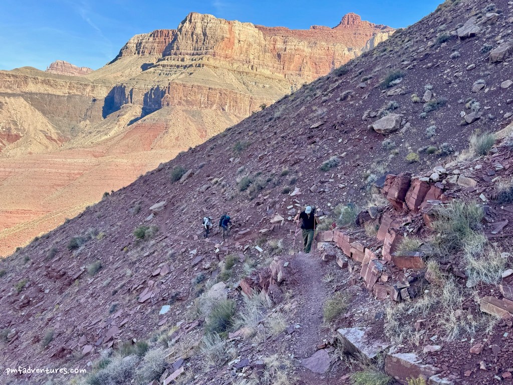
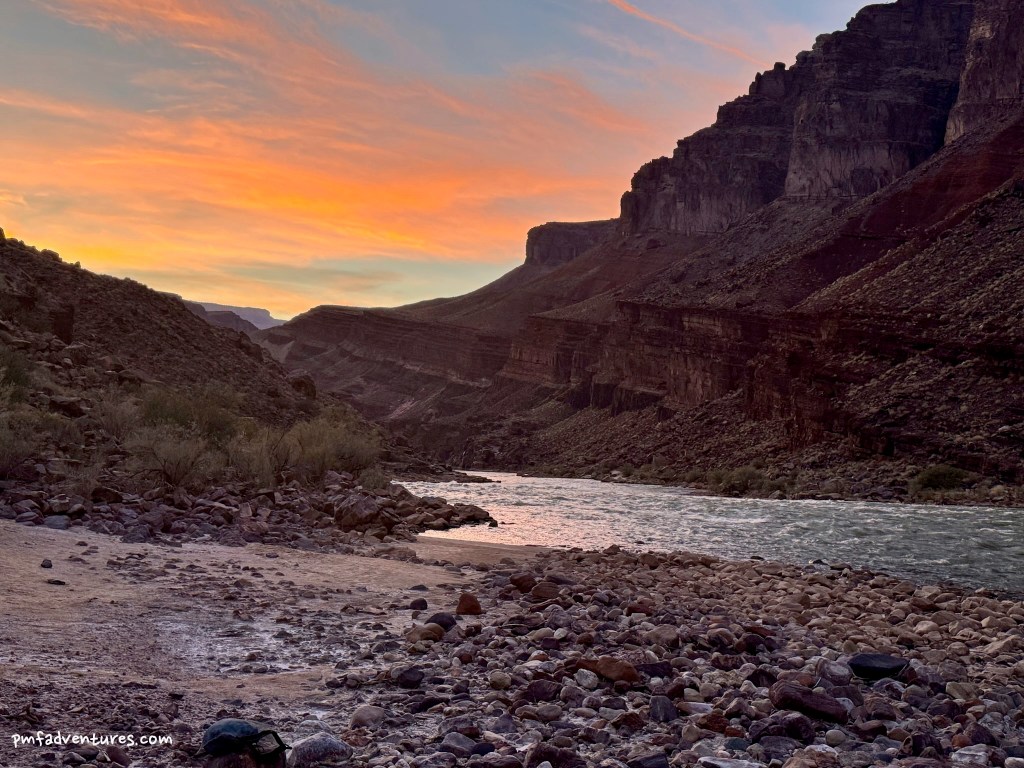
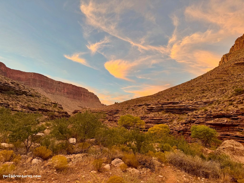
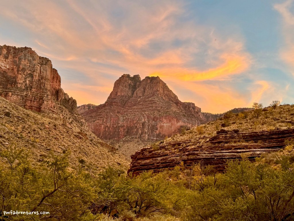
Day 1 – Tanner Trail from Lipan Point to Tanner Beach: At our pre-trip meeting, we agreed to meet at the Community Building on the South Rim at 6 AM to load up the van for the drive to Lipan Point. That meant we arrived at the trailhead just as the sun was rising and we were on the trail by 7 AM. The first 1.4 miles of the trail are super steep and quite loose in places, especially as we descended through the Coconino Sandstone. But once we hit the 75 Mile Canyon Saddle, the trail leveled out for a couple of miles as we did a fun traverse of Escalante and Cardenas Buttes. We stopped for lunch at a great viewpoint atop the Redwall Limestone, which let us gather our energy for another steep and loose descent through the Redwall. We then continued on a more gradual descent down to the Colorado River, arriving at Tanner Beach around 4 PM, after 7.6 miles and almost 4,700 feet of descending. We got camp set up pretty quickly so that we had time to make dinner while the sun was setting, as it got dark by 6:30 and I think we were all in bed by 7 PM.
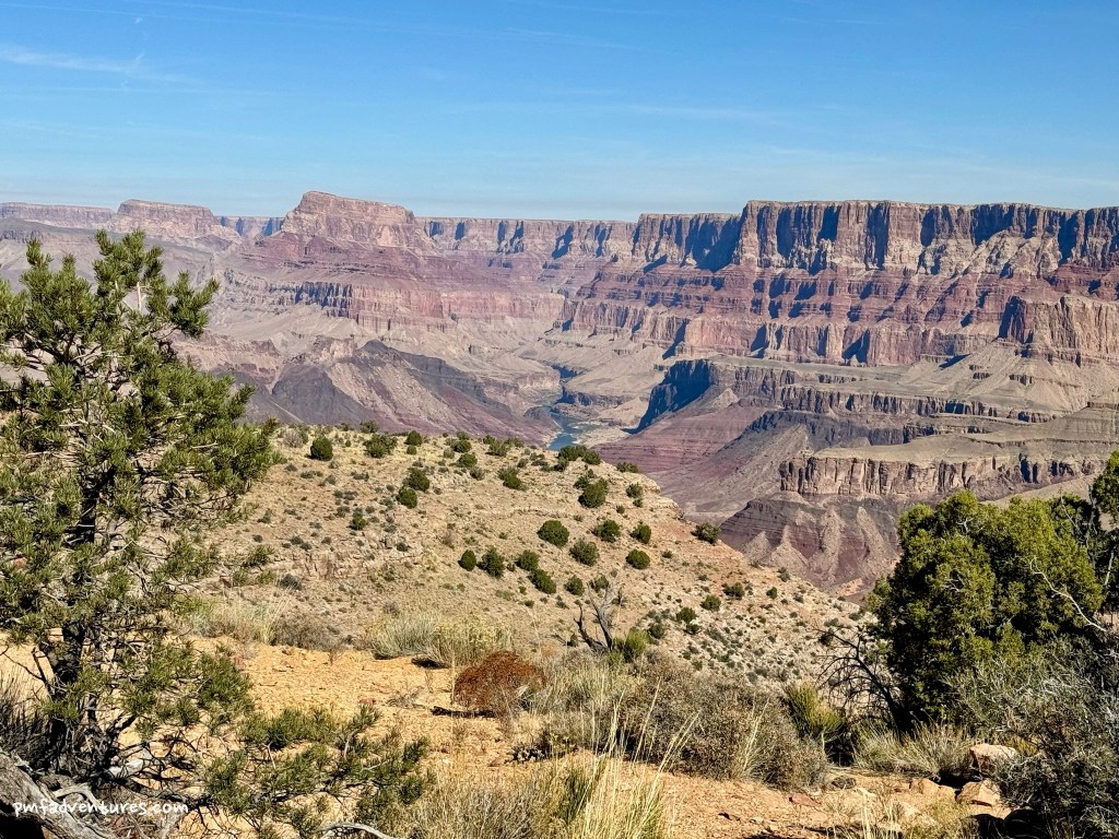
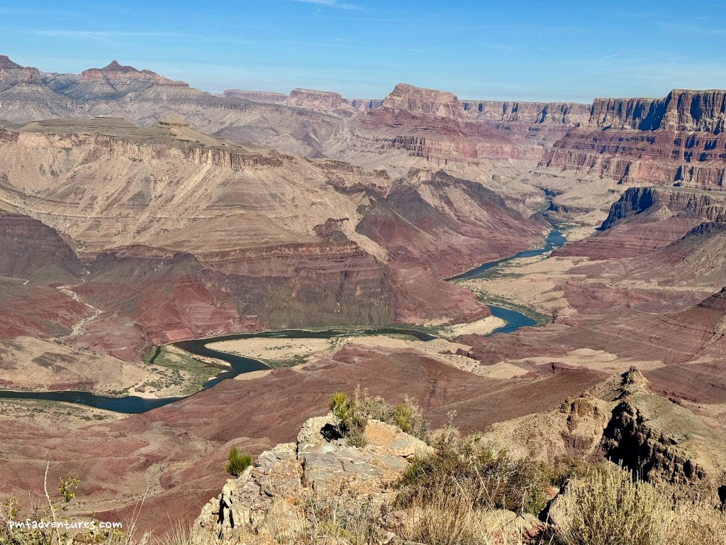
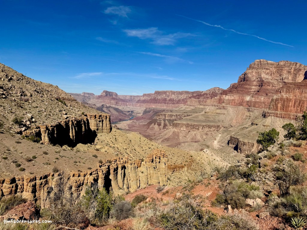
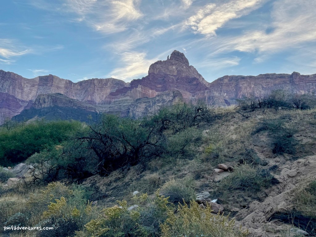
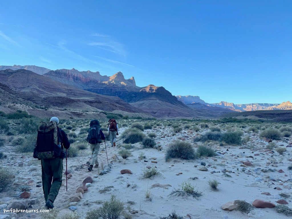
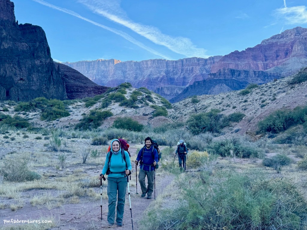
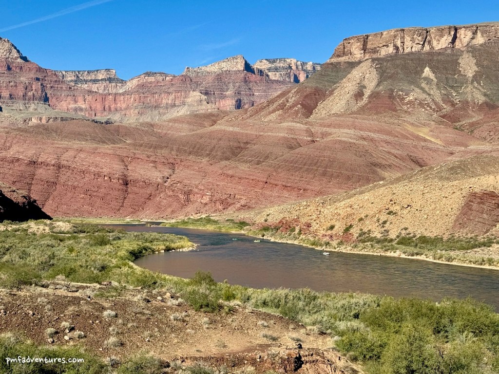
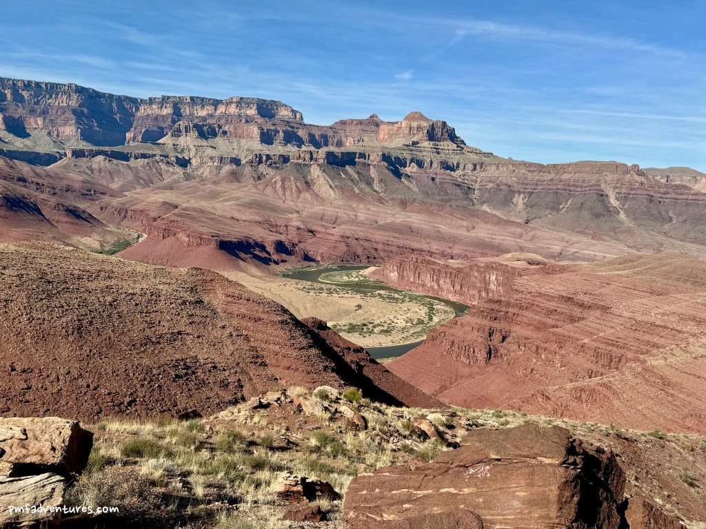
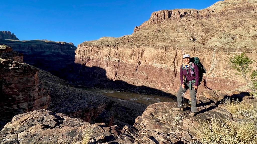
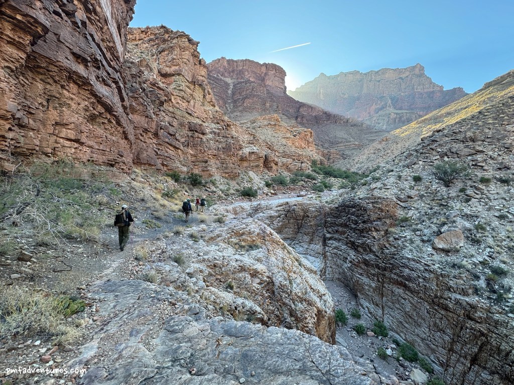
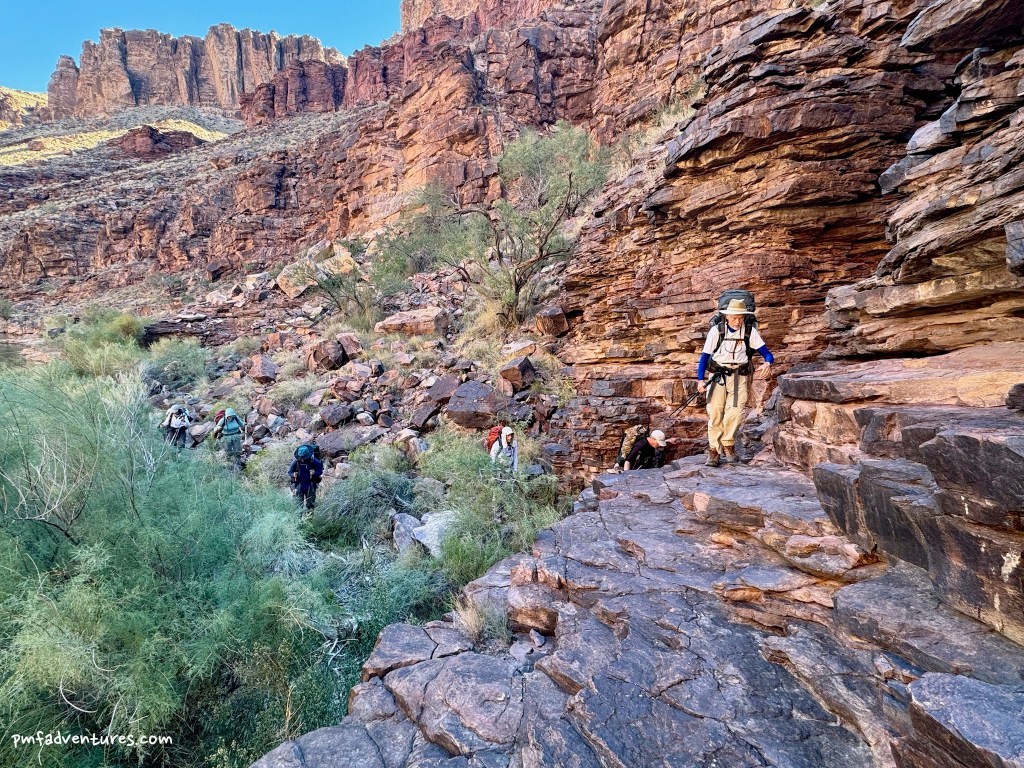
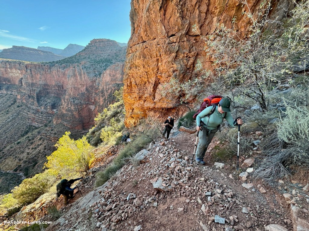
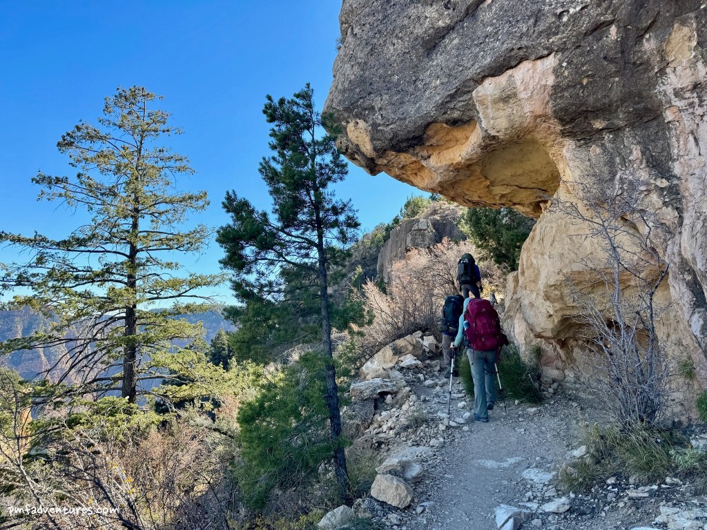
Day 2 – Escalante Route from Tanner Beach to Escalante Creek: The Escalante Route is a “route” not a “trail”, which means that the path can be indistinct in places. But enough people do the route that it really wasn’t that hard to follow. We left Tanner Beach a little after 8 AM and hiked for three flat miles along the river before stopping at Cardenas Creek to top up our water bottles. We then climbed quite steeply up to the hilltop ruins, which sit above a big S curve in the river and offer a great view of the Unkar Delta. After learning about the history of the ruins, we continued on a nice traverse up to the head of a drainage, where we stopped for lunch in some welcome shade. And then we got to a fun part of the route — an exposed traverse on a narrow path back out of the drainage, with more great views of the river. The final leg of our route traversed up the Escalante Creek drainage before crossing the dry creek bed and dropping back down the drainage to the river, where we set up camp for the night. In all, we covered 8.6 miles, ascending and descending about 1,350 feet.
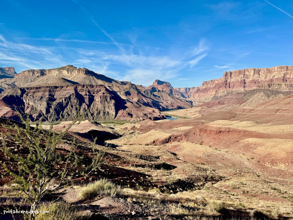
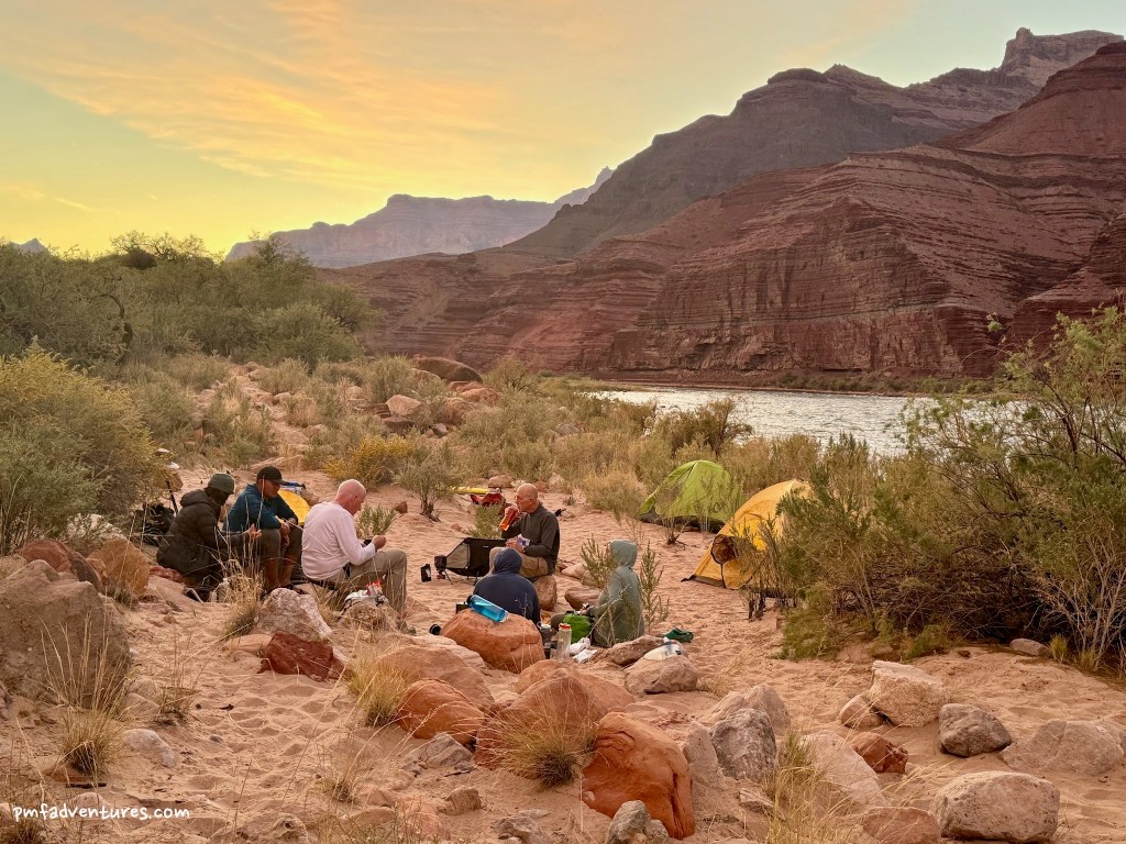
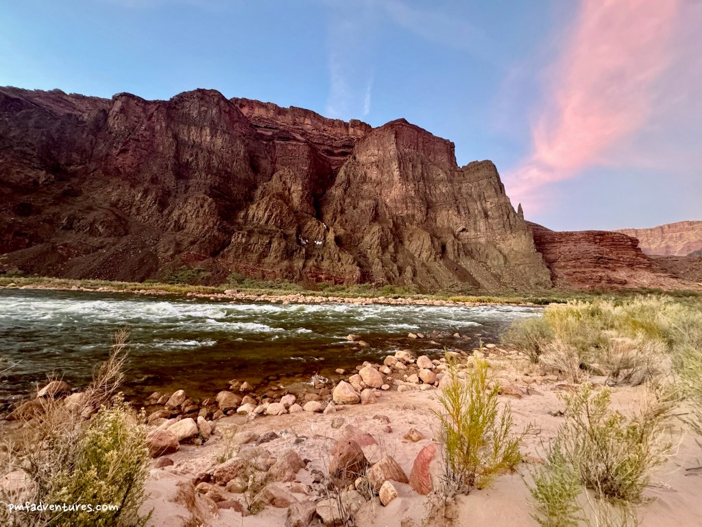
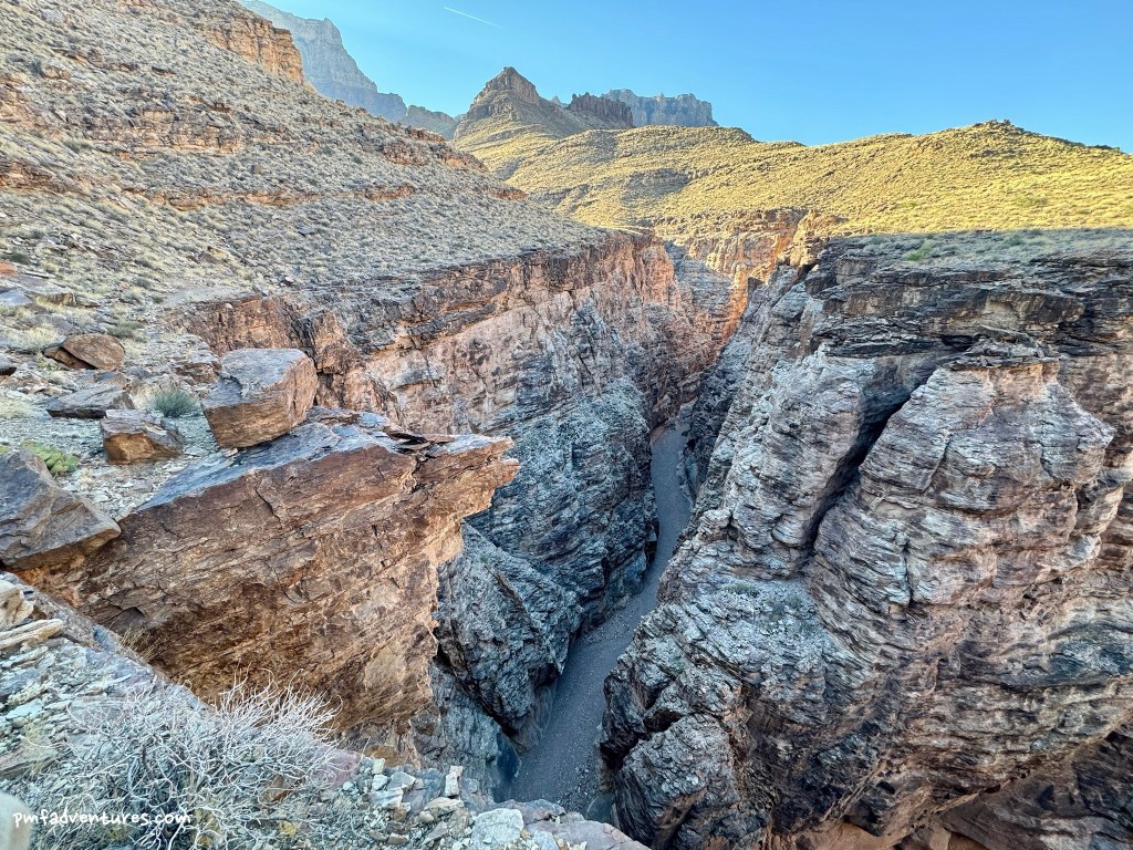
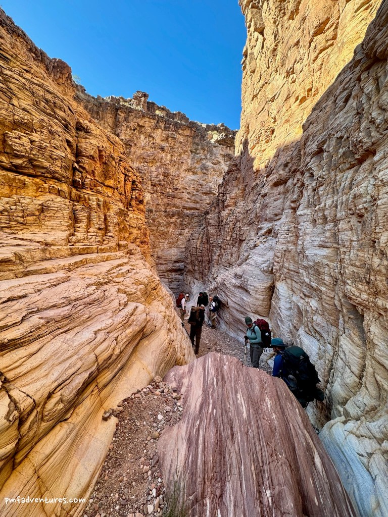
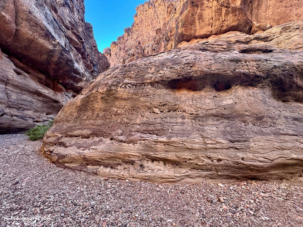
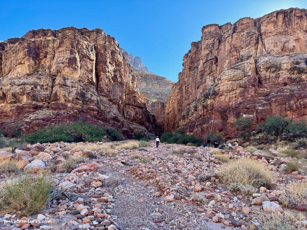
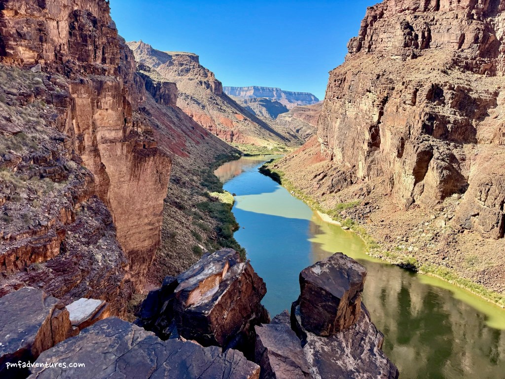
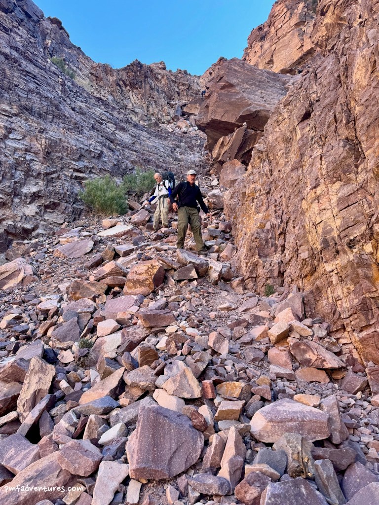
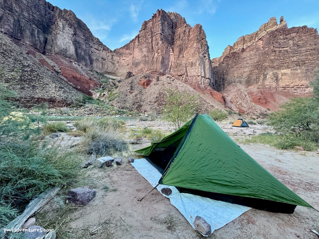
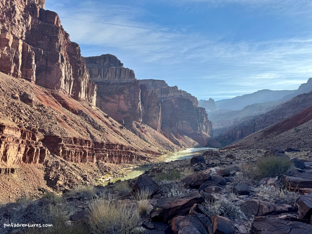
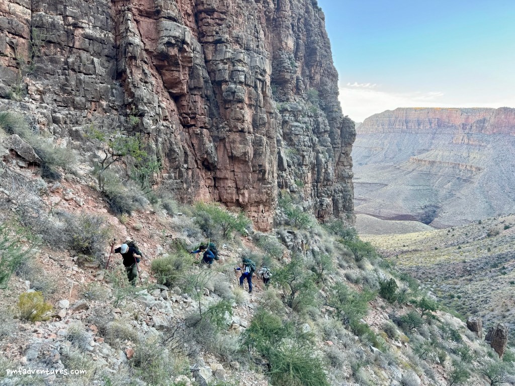
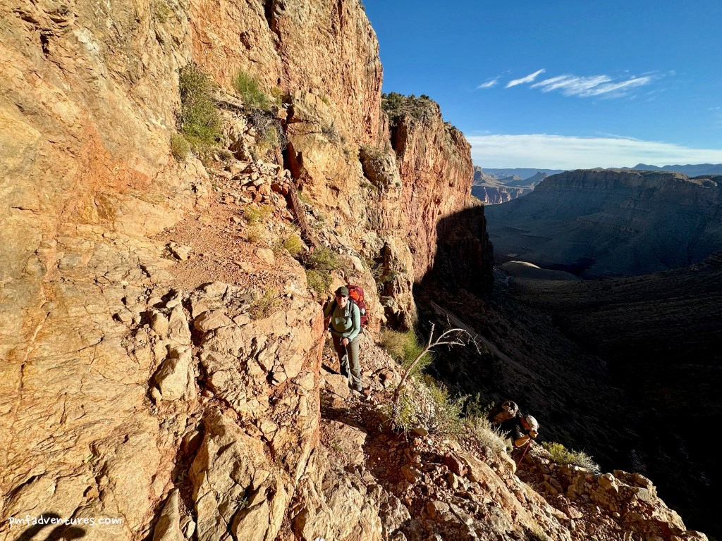
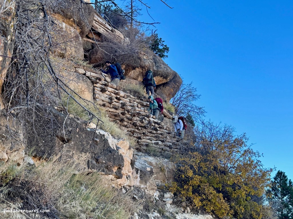
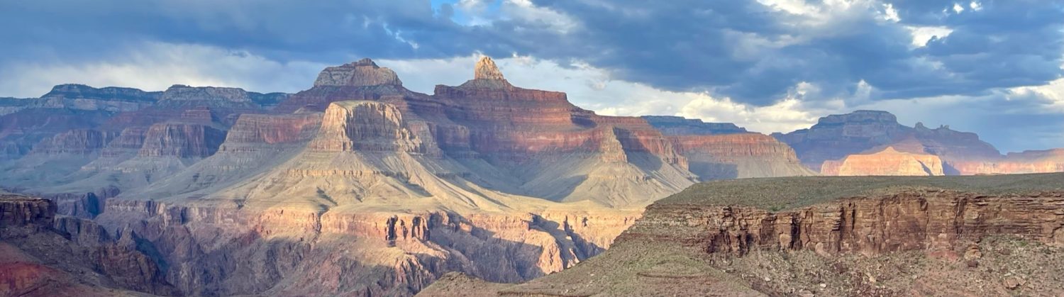
Day 3 – Escalante Route from Escalante Creek to Red Canyon: This was my favorite day of the trip. We started by hiking about a half mile along the river to the mouth of 75 Mile Canyon. Then we traversed up 75 Mile Canyon along the rim for a half mile before dropping down into the canyon and hiking back to the river. Slot canyons are so cool! After hiking another mile along the river, we reached Papago Creek, where we had to climb the Papago Wall. This involved actual fourth class climbing for 30-40 feet, followed by scrambling up a gully and traversing some cliffs before reaching a phenomenal view of the river. Then we descended the Papago Slide, a gully full of loose rocks of all sizes that was much less intimidating than it looked. After another mile along the river we arrived at Red Canyon, where we set up camp next to Hance Rapids. We arrived in camp around 2 PM, after covering 4.2 miles and ascending and descending about 700 feet, and enjoyed a relaxing afternoon that included a rinse in the river and washing some socks.
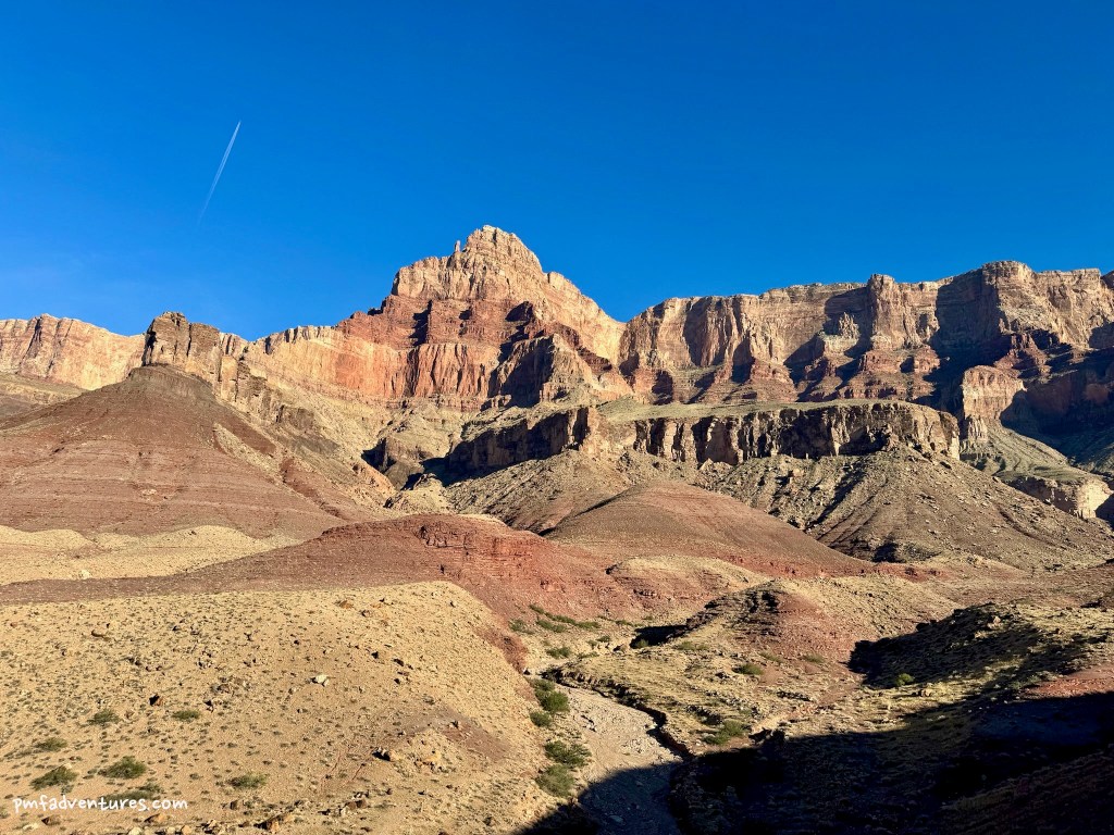
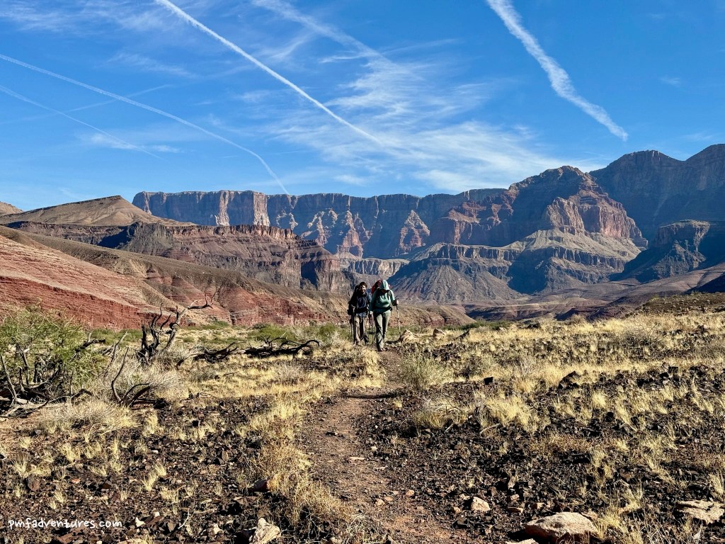
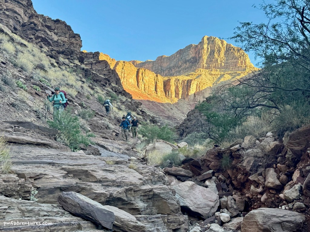
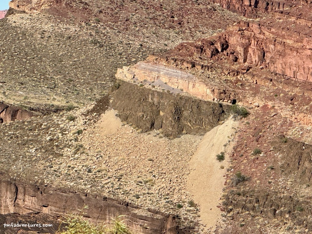
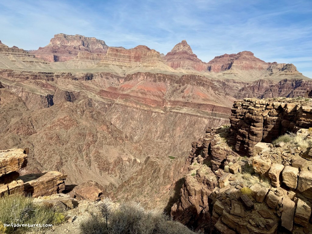
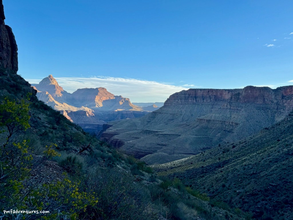
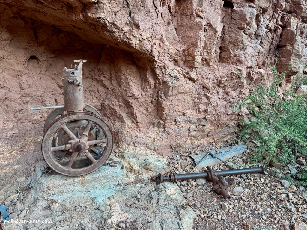
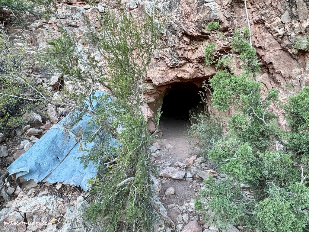
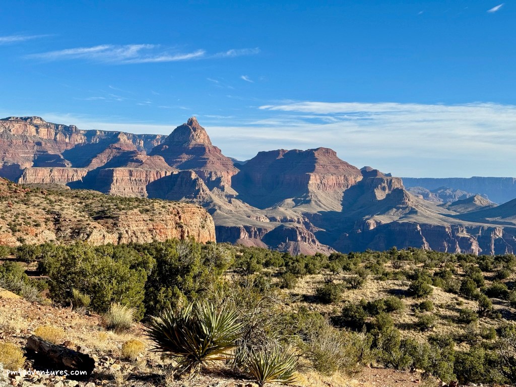
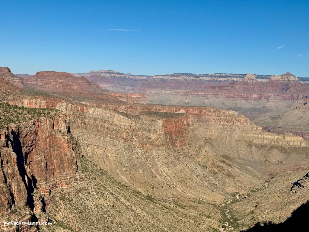
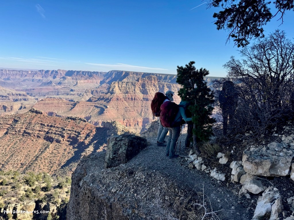
Day 4 – Tonto East Trail from Red Canyon to Hance Creek: The Escalante Route ends at Red Canyon, so when we left camp we picked up the Tonto East Trail. The first mile was a steep climb along the river to the mouth of Mineral Canyon. At this point, we got a view into the Upper Granite Gorge, where the river leaves the Grand Canyon Supergroup and starts to flow through the basement rocks, Vishnu Schist and Zoroaster Granite. We could also see the old Hance asbestos mine across the river. But it also meant it was time to say goodbye to the river, as we turned to traverse up the flank of Mineral Canyon. After another mile, we stopped for a snack in the shade in the dry wash of Mineral Canyon before climbing steeply to reach the Tonto Platform. From there the trail mostly leveled off as we approached the rim of Hance Creek Canyon, where we had great views of Tapeats sandstone atop the black-walled gorge of Hance Creek. The last two miles as we headed up Hance Creek Canyon felt like a pleasant stroll, as we curved into and out of numerous draws, often right on the edge of the Tonto Platform. After 6.1 total miles and an ascent of 1,300 feet, we crossed the wash of Hance Creek and reached camp.
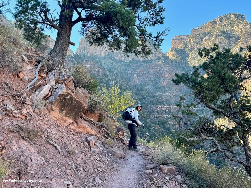
Day 5 – Miner’s Trail and Grandview Trail from Hance Creek to Grandview Point: We got an early start on our last day as we had a lot of climbing ahead of us; we left camp at 6:45 AM and hoped to meet the van around 1 PM. The first two miles up the Miner’s Trail from Hance Creek to Horseshoe Mesa were very steep, especially after we passed Last Chance Mine and climbed the rocky switchbacks carved into the Redwall. We enjoyed a nice snack on Horseshoe Mesa and then continued our ascent on the Grandview Trail, which started out more gradual and just kept getting steeper. The upper part of the trail has some impressive construction – lots of riprap-paved switchbacks and juniper-log cribbing that was built in 1892-1893 by Pete Barry to transport 200-pound loads of copper ore by mule from Horseshoe Mesa. Some of the trail has been rebuilt due to various landslides, but much of it is still the original. It was a relief to get to Coconino Saddle, where we had another snack and a nice rest before tackling the last mile and 1,000 feet of elevation gain. This part of the trail involves lots of steep switchbacks through the Coconino Sandstone. And just after 12:30, we topped out at Grandview Point, after 4.5 miles and almost 3,700 feet of elevation gain. It was a bit shocking to see so many people on the last bit of trail and at the top after having existed in our own little bubble for five days. What an amazing trip!